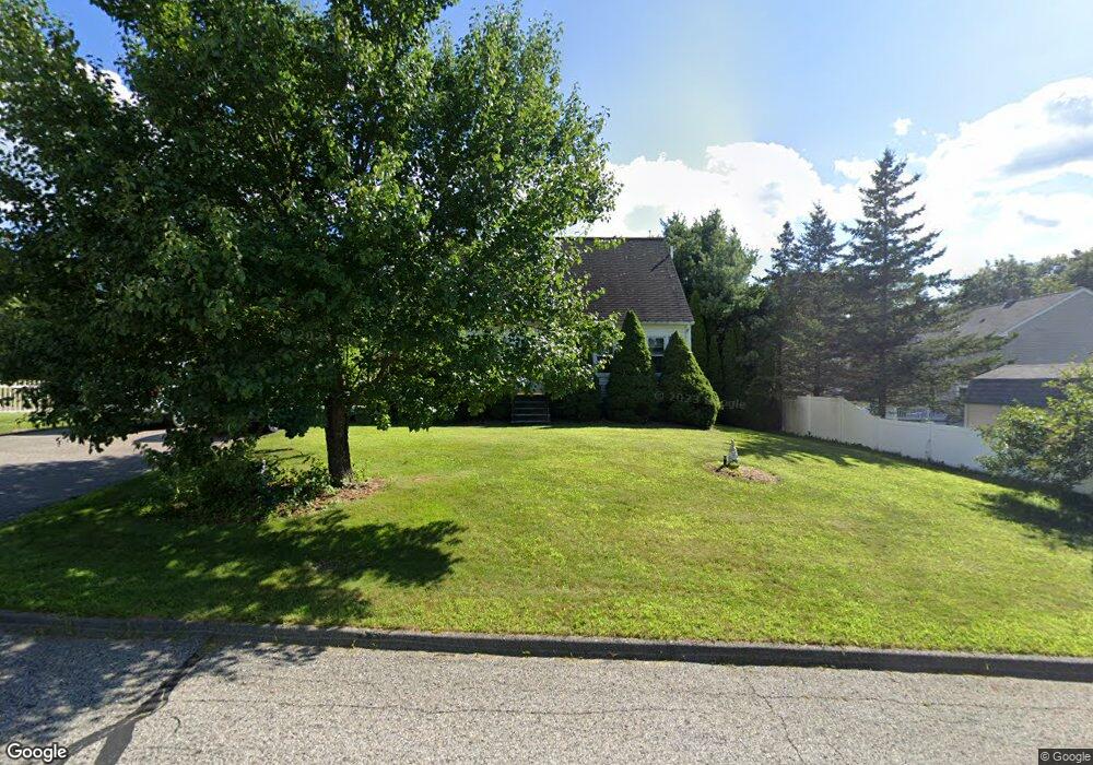
11 Rolling Ridge Rd Rutland, MA 01543
Estimated Value: $438,000 - $529,000
3
Beds
3
Baths
1,387
Sq Ft
$354/Sq Ft
Est. Value
About This Home
This home is located at 11 Rolling Ridge Rd, Rutland, MA 01543 and is currently estimated at $491,083, approximately $354 per square foot. 11 Rolling Ridge Rd is a home located in Worcester County with nearby schools including Wachusett Regional High School.
Ownership History
Date
Name
Owned For
Owner Type
Purchase Details
Closed on
Jun 19, 2007
Sold by
Olson Gary R and Salmon Gina S
Bought by
George Michael J and George Rebekah J
Current Estimated Value
Home Financials for this Owner
Home Financials are based on the most recent Mortgage that was taken out on this home.
Original Mortgage
$281,000
Interest Rate
6.19%
Mortgage Type
Purchase Money Mortgage
Purchase Details
Closed on
Mar 31, 2004
Sold by
Sullivan Bethany J and Sullivan Timothy R
Bought by
Olson Gary R and Salmon Gina S
Home Financials for this Owner
Home Financials are based on the most recent Mortgage that was taken out on this home.
Original Mortgage
$246,900
Interest Rate
5.56%
Mortgage Type
Purchase Money Mortgage
Purchase Details
Closed on
Nov 30, 2000
Sold by
Gouin Tara J and Gouin Keithd
Bought by
Sullivan Timothy R and Sullivan Bethany J
Create a Home Valuation Report for This Property
The Home Valuation Report is an in-depth analysis detailing your home's value as well as a comparison with similar homes in the area
Home Values in the Area
Average Home Value in this Area
Purchase History
| Date | Buyer | Sale Price | Title Company |
|---|---|---|---|
| George Michael J | $281,000 | -- | |
| Olson Gary R | $259,900 | -- | |
| Sullivan Timothy R | $186,000 | -- |
Source: Public Records
Mortgage History
| Date | Status | Borrower | Loan Amount |
|---|---|---|---|
| Open | Sullivan Timothy R | $272,600 | |
| Closed | George Michael J | $281,000 | |
| Previous Owner | Olson Gary R | $246,900 | |
| Previous Owner | Sullivan Timothy R | $209,000 | |
| Previous Owner | Sullivan Timothy R | $205,000 |
Source: Public Records
Tax History Compared to Growth
Tax History
| Year | Tax Paid | Tax Assessment Tax Assessment Total Assessment is a certain percentage of the fair market value that is determined by local assessors to be the total taxable value of land and additions on the property. | Land | Improvement |
|---|---|---|---|---|
| 2025 | $5,321 | $373,700 | $95,000 | $278,700 |
| 2024 | $4,849 | $327,000 | $85,300 | $241,700 |
| 2023 | $4,496 | $327,700 | $80,400 | $247,300 |
| 2022 | $4,481 | $283,800 | $68,100 | $215,700 |
| 2021 | $4,322 | $258,800 | $68,100 | $190,700 |
| 2020 | $4,501 | $255,600 | $64,100 | $191,500 |
| 2019 | $4,508 | $252,000 | $58,700 | $193,300 |
| 2018 | $4,299 | $237,100 | $58,700 | $178,400 |
| 2017 | $3,970 | $216,700 | $58,700 | $158,000 |
| 2016 | $3,649 | $210,100 | $58,800 | $151,300 |
| 2015 | $3,396 | $192,400 | $58,800 | $133,600 |
| 2014 | $3,292 | $192,400 | $58,800 | $133,600 |
Source: Public Records
Map
Nearby Homes
- 29 Prescott St
- 95 Maple Ave
- 176 Maple Ave Unit 1-4
- 176 Maple Ave Unit 1-27
- 176 Maple Ave Unit 3-25
- 176 Maple Ave Unit 5-5
- 176 Maple Ave Unit 3-5
- 189 Maple Ave
- 27 Lewis St
- 2334 Main St
- 21 Lewis St
- 11 Lewis St
- 12 Lewis St
- 2 Forest Hill Dr
- 6 Lewis St
- 3 Forest Hill Dr
- 35 Laurelwood Rd
- 132 Fidelity Dr Unit 61
- 6 Hickory Dr
- 8 Fidelity Dr Unit 4
- 9 Rolling Ridge Rd
- 4 Orchard Hill Dr
- 69 Prescott St
- 2 Orchard Hill Dr
- 14 Rolling Ridge Rd
- 71 Prescott St
- 12 Rolling Ridge Rd
- 8 Orchard Hill Dr
- 5 Rolling Ridge Rd
- 10 Rolling Ridge Rd
- 3 Orchard Hill Dr
- 1 Orchard Hill Dr
- 5 Orchard Hill Dr
- 73 Prescott St
- 8 Rolling Ridge Rd
- 10 Orchard Hill Dr
- 3 Rolling Ridge Rd
- 20 Orchard Hill Dr
- 22 Orchard Hill Dr
- 7 Orchard Hill Dr