11 Ronald Dr Unit 2 Worcester, MA 01604
Grafton Hill NeighborhoodEstimated Value: $566,949 - $655,000
2
Beds
1
Bath
670
Sq Ft
$915/Sq Ft
Est. Value
About This Home
This home is located at 11 Ronald Dr Unit 2, Worcester, MA 01604 and is currently estimated at $612,737, approximately $914 per square foot. 11 Ronald Dr Unit 2 is a home located in Worcester County with nearby schools including Jacob Hiatt Magnet School, Chandler Magnet, and Lake View Elementary School.
Ownership History
Date
Name
Owned For
Owner Type
Purchase Details
Closed on
Apr 5, 2024
Sold by
Veglia Mark R
Bought by
11 Ronald Drive Rt and Veglia
Current Estimated Value
Purchase Details
Closed on
Jan 24, 2014
Sold by
Healy Paul E and Healy Sharon L
Bought by
Healy Kurt E and Healy Mark A
Create a Home Valuation Report for This Property
The Home Valuation Report is an in-depth analysis detailing your home's value as well as a comparison with similar homes in the area
Home Values in the Area
Average Home Value in this Area
Purchase History
| Date | Buyer | Sale Price | Title Company |
|---|---|---|---|
| 11 Ronald Drive Rt | -- | None Available | |
| Healy Kurt E | -- | -- |
Source: Public Records
Mortgage History
| Date | Status | Borrower | Loan Amount |
|---|---|---|---|
| Previous Owner | Healy Kurt E | $42,000 | |
| Previous Owner | Healy Kurt E | $55,000 |
Source: Public Records
Tax History
| Year | Tax Paid | Tax Assessment Tax Assessment Total Assessment is a certain percentage of the fair market value that is determined by local assessors to be the total taxable value of land and additions on the property. | Land | Improvement |
|---|---|---|---|---|
| 2025 | $6,525 | $494,700 | $119,900 | $374,800 |
| 2024 | $5,974 | $434,500 | $119,900 | $314,600 |
| 2023 | $5,578 | $389,000 | $104,300 | $284,700 |
| 2022 | $5,360 | $352,400 | $83,500 | $268,900 |
| 2021 | $4,737 | $291,000 | $66,900 | $224,100 |
| 2020 | $4,604 | $270,800 | $66,800 | $204,000 |
| 2019 | $4,750 | $263,900 | $60,500 | $203,400 |
| 2018 | $4,654 | $246,100 | $60,500 | $185,600 |
| 2017 | $4,413 | $229,600 | $60,500 | $169,100 |
| 2016 | $4,357 | $211,400 | $46,000 | $165,400 |
| 2015 | $4,243 | $211,400 | $46,000 | $165,400 |
| 2014 | $4,131 | $211,400 | $46,000 | $165,400 |
Source: Public Records
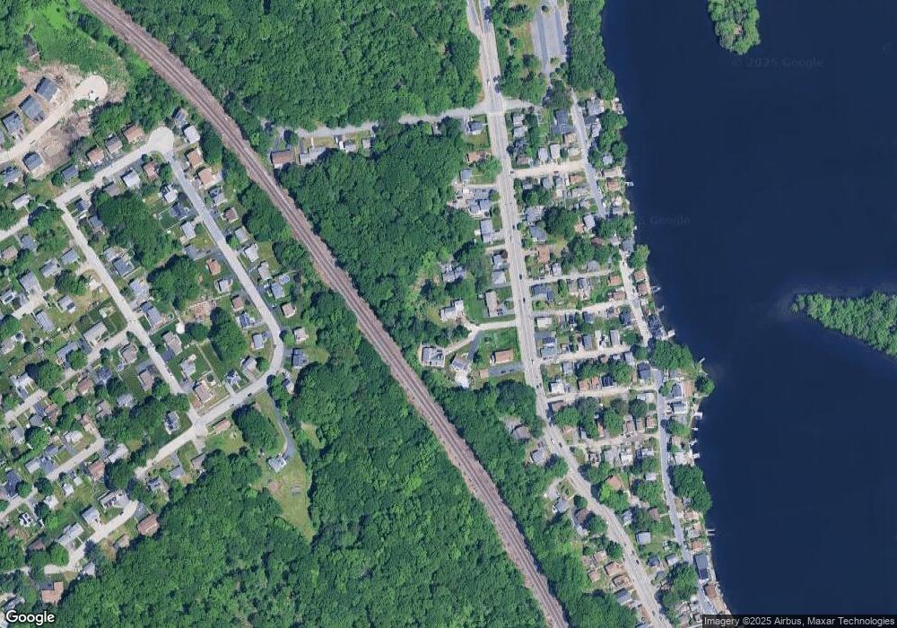
Map
Nearby Homes
- 365 Lake Ave
- 41 Modoc St
- 143 Commonwealth Ave
- 21 Middlesex Ave Unit 102
- 496 Hamilton St
- Lot B Crawford St
- 19 Middlesex Ave
- 12 Benham St
- 16-18 Fairfax St
- 190 S Quinsigamond Ave Unit 102
- 63 Progressive St
- 28 Nonquit St
- 10 County St
- 360 Hamilton St
- 62 Edgemere Blvd
- 241 Lake Ave
- 2 Salisbury St
- 105 S Quinsigamond Ave
- 15 Lakeside Dr
- 12 Brookside Place
Your Personal Tour Guide
Ask me questions while you tour the home.