11 Rowland Ave Vineyard Haven, MA 02568
Oak Bluffs NeighborhoodEstimated Value: $1,119,000 - $1,391,000
3
Beds
1
Bath
1,181
Sq Ft
$1,013/Sq Ft
Est. Value
About This Home
This home is located at 11 Rowland Ave, Vineyard Haven, MA 02568 and is currently estimated at $1,196,714, approximately $1,013 per square foot. 11 Rowland Ave is a home located in Dukes County with nearby schools including Oak Bluffs Elementary School, Martha's Vineyard Regional High School, and Vineyard Montessori School.
Ownership History
Date
Name
Owned For
Owner Type
Purchase Details
Closed on
Aug 17, 2020
Sold by
Pernell-Arnold Anita and Gonzalez John C
Bought by
A Pernell-Arnold T
Current Estimated Value
Home Financials for this Owner
Home Financials are based on the most recent Mortgage that was taken out on this home.
Original Mortgage
$125,000
Outstanding Balance
$110,677
Interest Rate
2.9%
Mortgage Type
New Conventional
Estimated Equity
$1,086,037
Purchase Details
Closed on
Apr 19, 2012
Sold by
Pernell-Arnold Anita
Bought by
Anita Pernell-Arnold T
Purchase Details
Closed on
Mar 8, 2005
Sold by
Pernell-Arnold Anita
Bought by
Pernell-Arnold Anita and Arnold Vinson Nathanie
Create a Home Valuation Report for This Property
The Home Valuation Report is an in-depth analysis detailing your home's value as well as a comparison with similar homes in the area
Home Values in the Area
Average Home Value in this Area
Purchase History
| Date | Buyer | Sale Price | Title Company |
|---|---|---|---|
| A Pernell-Arnold T | -- | None Available | |
| Pernell-Arnold Anita | -- | None Available | |
| Anita Pernell-Arnold T | -- | -- | |
| Pernell-Arnold Anita | -- | -- |
Source: Public Records
Mortgage History
| Date | Status | Borrower | Loan Amount |
|---|---|---|---|
| Open | A Pernell-Arnold T | $125,000 |
Source: Public Records
Tax History Compared to Growth
Tax History
| Year | Tax Paid | Tax Assessment Tax Assessment Total Assessment is a certain percentage of the fair market value that is determined by local assessors to be the total taxable value of land and additions on the property. | Land | Improvement |
|---|---|---|---|---|
| 2025 | $4,723 | $935,300 | $540,000 | $395,300 |
| 2024 | $4,541 | $868,200 | $490,700 | $377,500 |
| 2023 | $3,905 | $739,600 | $437,100 | $302,500 |
| 2022 | $3,683 | $542,400 | $314,300 | $228,100 |
| 2021 | $3,523 | $478,000 | $284,400 | $193,600 |
| 2020 | $3,349 | $450,200 | $270,900 | $179,300 |
| 2019 | $3,358 | $436,700 | $261,300 | $175,400 |
| 2018 | $3,148 | $402,000 | $226,600 | $175,400 |
| 2017 | $3,033 | $372,100 | $214,800 | $157,300 |
| 2016 | $2,908 | $358,600 | $221,400 | $137,200 |
| 2015 | $2,777 | $348,900 | $221,400 | $127,500 |
| 2014 | $2,693 | $344,800 | $209,100 | $135,700 |
Source: Public Records
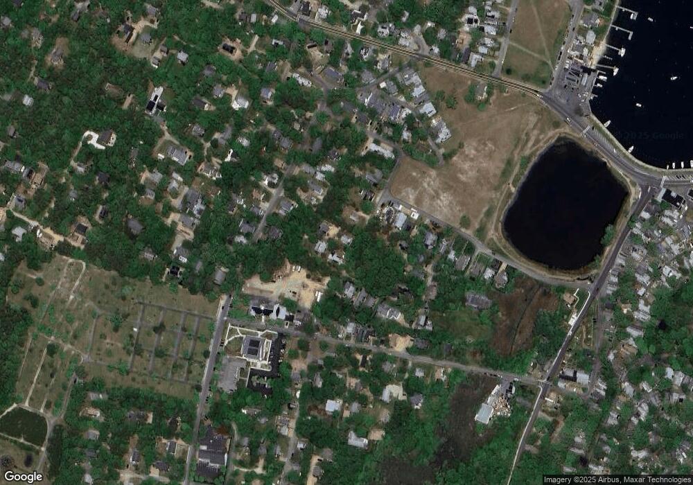
Map
Nearby Homes
- 9 Brunswick Ave
- 22 Greenleaf Ave
- 22 Greenleaf Ave
- 26 Hampson Ave
- 25 Hampson Ave
- 23 Laurel Ave
- 17 Siloam Ave
- 12 & 14 Maple Ave
- 10 Siloam Ave
- 41 Trinity Park
- 54 Towanticut Ave
- 16 Cottage Park
- 2 Lincoln Ave
- 79 Circuit Ave
- 1 Cottage Park
- 34 Massasoit Ave
- 47 E East Chop Dr Unit 5
- 47 E Chop Dr Unit 5
- 47 E Chop Dr Unit 4
- 47 E Chop Dr Unit 3
- 9 Rowland Ave
- 15 Rowland Ave
- 25 Huntington Ave
- 27 Huntington Ave
- 1 Elizabeth's Way
- 32 Graham Ave
- 7 Rowland Ave
- 30 Greenleaf Ave
- 12 Greenleaf Ave
- 26 Greenleaf Ave
- 30 Graham Ave
- 30 Green Leaf Ave
- 28 Greenleaf Ave
- 28 Greenleaf Ave
- 9 Brunswick Ave
- 28 Graham Ave
- 14 Pacific Ave
- 18 Pacific Ave
- 7 Brunswick Ave
- 16 Pacific Ave