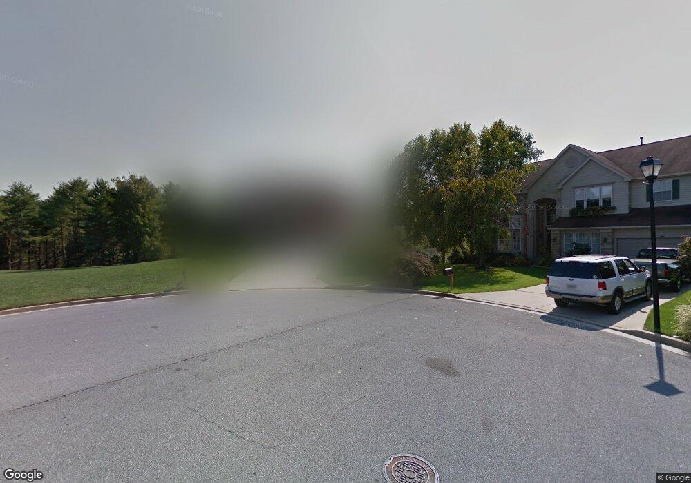
11 Ruffed Grouse Ct Towson, MD 21286
Hampton NeighborhoodEstimated Value: $768,335 - $1,060,000
--
Bed
3
Baths
3,674
Sq Ft
$246/Sq Ft
Est. Value
About This Home
This home is located at 11 Ruffed Grouse Ct, Towson, MD 21286 and is currently estimated at $903,834, approximately $246 per square foot. 11 Ruffed Grouse Ct is a home located in Baltimore County with nearby schools including Hampton Elementary, Ridgely Middle, and Loch Raven High.
Ownership History
Date
Name
Owned For
Owner Type
Purchase Details
Closed on
Apr 19, 2021
Sold by
Burke Thomas C
Bought by
Burke Thomas C and Burke Trudy T
Current Estimated Value
Purchase Details
Closed on
Sep 1, 1995
Sold by
Grp Ryland
Bought by
Burke Thomas C
Home Financials for this Owner
Home Financials are based on the most recent Mortgage that was taken out on this home.
Original Mortgage
$335,850
Interest Rate
7.61%
Create a Home Valuation Report for This Property
The Home Valuation Report is an in-depth analysis detailing your home's value as well as a comparison with similar homes in the area
Home Values in the Area
Average Home Value in this Area
Purchase History
| Date | Buyer | Sale Price | Title Company |
|---|---|---|---|
| Burke Thomas C | -- | Title365 | |
| Burke Thomas C | $373,191 | -- |
Source: Public Records
Mortgage History
| Date | Status | Borrower | Loan Amount |
|---|---|---|---|
| Previous Owner | Burke Thomas C | $335,850 |
Source: Public Records
Tax History Compared to Growth
Tax History
| Year | Tax Paid | Tax Assessment Tax Assessment Total Assessment is a certain percentage of the fair market value that is determined by local assessors to be the total taxable value of land and additions on the property. | Land | Improvement |
|---|---|---|---|---|
| 2025 | $9,077 | $653,200 | $178,600 | $474,600 |
| 2024 | $9,077 | $631,967 | $0 | $0 |
| 2023 | $4,424 | $610,733 | $0 | $0 |
| 2022 | $8,598 | $589,500 | $178,600 | $410,900 |
| 2021 | $8,426 | $589,500 | $178,600 | $410,900 |
| 2020 | $8,426 | $589,500 | $178,600 | $410,900 |
| 2019 | $8,744 | $602,200 | $178,600 | $423,600 |
| 2018 | $8,656 | $593,533 | $0 | $0 |
| 2017 | $8,159 | $584,867 | $0 | $0 |
| 2016 | $7,087 | $576,200 | $0 | $0 |
| 2015 | $7,087 | $565,933 | $0 | $0 |
| 2014 | $7,087 | $555,667 | $0 | $0 |
Source: Public Records
Map
Nearby Homes
- 5 Drake Ct
- 1905 Haverhill Rd
- 1213 Brook Hollow Rd
- 8808 Littlewood Rd
- 108 Beech Hill Ln
- 1812 Dunwoody Cir
- 3954 Forest Valley Rd
- 1107 Cowpens Ave
- 4 Midcrest Ct
- 1013 Limekiln Ct
- 1862 Yakona Rd
- 1870 Yakona Rd
- 1004 Dunblane Rd
- 2215 Lowells Glen Rd Unit J
- 9108 Satyr Hill Rd
- 8656 Oak Rd
- 10 Class Ct
- 1402 Autumn Leaf Rd
- 1710 White Oak Ave
- 1620 Naturo Rd
- 13 Ruffed Grouse Ct
- 8 Harts Run Ct
- 12 Ruffed Grouse Ct
- 6 Harts Run Ct
- 7 Ruffed Grouse Ct
- 9 Ruffed Grouse Ct
- 10 Ruffed Grouse Ct
- 7 Harts Run Ct
- 4 Harts Run Ct
- 8 Ruffed Grouse Ct
- 5 Ruffed Grouse Ct
- 908 Metfield Rd
- 6 Ruffed Grouse Ct
- 906 Metfield Rd
- 910 Metfield Rd
- 5 Harts Run Ct
- 1217 Meadowlark Dr
- 3 Ruffed Grouse Ct
- 1219 Meadowlark Dr
- 1203 Meadowlark Dr