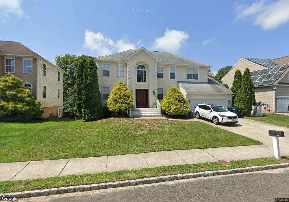
11 Ruth Ct Absecon, NJ 08201
Estimated Value: $515,582 - $665,000
Studio
--
Bath
2,471
Sq Ft
$236/Sq Ft
Est. Value
About This Home
This home is located at 11 Ruth Ct, Absecon, NJ 08201 and is currently estimated at $584,146, approximately $236 per square foot. 11 Ruth Ct is a home located in Atlantic County with nearby schools including H. Ashton Marsh Elementary School, Emma C. Attales Middle School, and Assumption Regional Catholic School.
Ownership History
Date
Name
Owned For
Owner Type
Purchase Details
Closed on
Aug 22, 2003
Sold by
Kleinschrodt David
Bought by
Mancinelli Robert and Mancinelli Lori
Current Estimated Value
Home Financials for this Owner
Home Financials are based on the most recent Mortgage that was taken out on this home.
Original Mortgage
$129,900
Interest Rate
4.98%
Mortgage Type
Purchase Money Mortgage
Purchase Details
Closed on
Jan 25, 2002
Sold by
Sybig C F S Inc
Bought by
Kleinschrodt David and Kleinschrodt Dorothy
Home Financials for this Owner
Home Financials are based on the most recent Mortgage that was taken out on this home.
Original Mortgage
$192,000
Interest Rate
7.08%
Create a Home Valuation Report for This Property
The Home Valuation Report is an in-depth analysis detailing your home's value as well as a comparison with similar homes in the area
Home Values in the Area
Average Home Value in this Area
Purchase History
| Date | Buyer | Sale Price | Title Company |
|---|---|---|---|
| Mancinelli Robert | $279,900 | -- | |
| Mancinelli Robert | $279,900 | The Title Company Of Jersey | |
| Kleinschrodt David | $240,000 | -- |
Source: Public Records
Mortgage History
| Date | Status | Borrower | Loan Amount |
|---|---|---|---|
| Closed | Mancinelli Robert | $129,900 | |
| Previous Owner | Kleinschrodt David | $192,000 |
Source: Public Records
Tax History
| Year | Tax Paid | Tax Assessment Tax Assessment Total Assessment is a certain percentage of the fair market value that is determined by local assessors to be the total taxable value of land and additions on the property. | Land | Improvement |
|---|---|---|---|---|
| 2025 | $9,660 | $288,700 | $98,400 | $190,300 |
| 2024 | $9,594 | $288,700 | $98,400 | $190,300 |
Source: Public Records
Map
Nearby Homes
- 172 E Faunce Landing Rd
- 161 E Wyoming Ave
- 194 N Shore Rd
- 655 Weilers Ln
- 107 W Church St
- 4 E Curran Dr
- 130 Davis Ave
- 123 Bayview Dr
- 175 New Jersey Ave
- 202 Burning Tree Blvd
- 10 E Curran Dr
- 105 Hillside Ave
- 112 Woodcrest Ave
- 623 E Biscayne Ave
- 613 S New York Rd
- 36 E Lee Ave
- 15 W Bolton Ave
- 90 E Woodland Ave Unit E90
- 48 W Bolton Ave
- 47 E Woodland Ave Unit C47
Your Personal Tour Guide
Ask me questions while you tour the home.