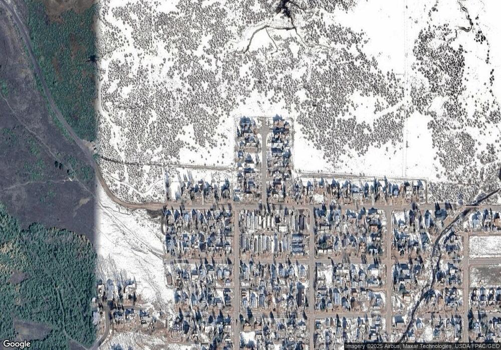
11 Ruth's Rd Crested Butte, CO 81224
Estimated Value: $3,543,000 - $6,215,000
4
Beds
5
Baths
3,199
Sq Ft
$1,661/Sq Ft
Est. Value
About This Home
This home is located at 11 Ruth's Rd, Crested Butte, CO 81224 and is currently estimated at $5,313,476, approximately $1,660 per square foot. 11 Ruth's Rd is a home located in Gunnison County with nearby schools including Gunnison Elementary School, Crested Butte Community School, and Gunnison Middle School.
Ownership History
Date
Name
Owned For
Owner Type
Purchase Details
Closed on
Oct 11, 2017
Sold by
Harwood Properties No 4 Llc
Bought by
Martin Marcus A and Martin Paula J K
Current Estimated Value
Purchase Details
Closed on
Oct 2, 2017
Sold by
Magtem Llc
Bought by
Harwood Properties No 4 Llc
Purchase Details
Closed on
Oct 15, 2010
Sold by
Faust Andrea
Bought by
Harwood Properties No 4 Llc
Purchase Details
Closed on
Sep 23, 2008
Sold by
Faust James A
Bought by
Faust Andrea
Purchase Details
Closed on
Aug 14, 2007
Sold by
Faust James A and Faust Andrea
Bought by
Faust Andrea
Purchase Details
Closed on
Aug 4, 2004
Sold by
Nielsen Dawn T
Bought by
Faust Andrea
Purchase Details
Closed on
Jun 10, 1999
Sold by
Kapushion Development
Bought by
Nielson Dawn T
Create a Home Valuation Report for This Property
The Home Valuation Report is an in-depth analysis detailing your home's value as well as a comparison with similar homes in the area
Home Values in the Area
Average Home Value in this Area
Purchase History
| Date | Buyer | Sale Price | Title Company |
|---|---|---|---|
| Martin Marcus A | $900,000 | Land Title Guarantee Company | |
| Harwood Properties No 4 Llc | -- | Land Title Guarantee Company | |
| Harwood Properties No 4 Llc | $620,000 | None Available | |
| Faust Andrea | -- | None Available | |
| Faust Andrea | -- | None Available | |
| Faust Andrea | $464,900 | -- | |
| Nielson Dawn T | $185,000 | -- |
Source: Public Records
Tax History
| Year | Tax Paid | Tax Assessment Tax Assessment Total Assessment is a certain percentage of the fair market value that is determined by local assessors to be the total taxable value of land and additions on the property. | Land | Improvement |
|---|---|---|---|---|
| 2024 | $24,294 | $377,950 | $48,500 | $329,450 |
| 2023 | $29,335 | $374,260 | $48,020 | $326,240 |
| 2022 | $19,368 | $247,100 | $30,640 | $216,460 |
| 2021 | $17,538 | $254,210 | $31,520 | $222,690 |
| 2020 | $9,828 | $143,790 | $35,630 | $108,160 |
| 2019 | $3,251 | $48,540 | $35,630 | $12,910 |
| 2018 | $17,571 | $253,470 | $253,470 | $0 |
Source: Public Records
Map
Nearby Homes
- 31 Gothic Ave
- 8 Gothic Ave
- TBD Butte Ave
- 18 Maroon Ave
- 310 2nd St
- 218 Maroon Ave Unit E
- 17 Elk Ave
- 520 Teocalli Ave
- 416/418 Teocalli Ave
- 209 Whiterock Ave
- 418 Elk Ave
- 609 2nd St
- 3 Beckwith Ave
- 308 Whiterock Ave
- 28 Whiterock Ave Unit 2
- 1 7th St Unit B
- 309 Belleview #2-A Residential Unit 2-A
- 309 Belleview #2-B Residential Unit 2-B
- 309 Belleview #2-C Residential Unit 2-C
- 602 & 604 Fourth St
- 12 Ruths Rd
- 10 Ruths Rd
- 0 Ruth's Rd Unit 761300
- 0 Ruth's Rd Unit 3081
- 0 Ruth's Rd Unit 3617
- 0 Ruth's Rd Unit 3893
- 0 Ruth's Rd Unit 4357
- 0 Ruth's Rd Unit 4690
- 0 Ruth's Rd Unit 4689
- 0 Ruth's Rd Unit 734448
- 0 Ruth's Rd Unit 5566
- 0 Ruth's Rd Unit 8603
- 0 Ruth's Rd Unit Lot 11 Kapushion
- 0 Ruth's Rd Unit Lot 11 Kapushion Sub
- 0 Ruth's Rd Unit 10507
- 0 Ruth's Rd Unit 11529
- 0 Ruth's Rd Unit 11685
- 0 Ruth's Rd Unit 12842
- 0 Ruth's Rd Unit 724860
- 9 Ruths Rd
Your Personal Tour Guide
Ask me questions while you tour the home.
