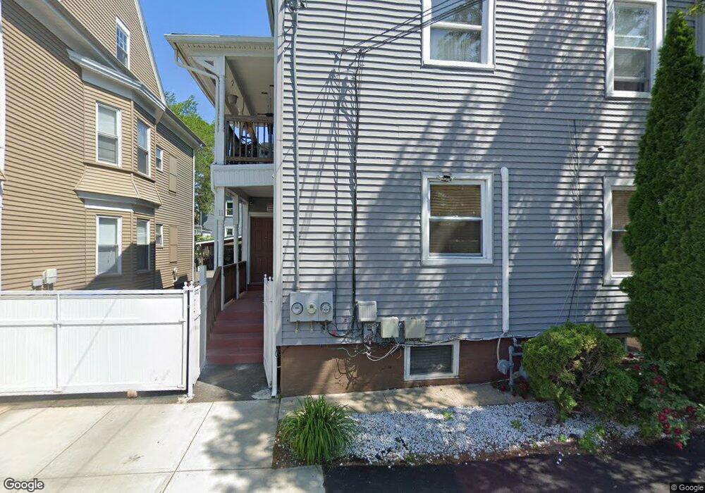
11 Rutland St Providence, RI 02907
West End NeighborhoodEstimated Value: $636,000 - $795,000
9
Beds
3
Baths
3,942
Sq Ft
$181/Sq Ft
Est. Value
About This Home
This home is located at 11 Rutland St, Providence, RI 02907 and is currently estimated at $712,667, approximately $180 per square foot. 11 Rutland St is a home located in Providence County with nearby schools including Asa Messer Elementary School, Charles N. Fortes Elementary School, and Alfred Lima Sr. Elementary School.
Ownership History
Date
Name
Owned For
Owner Type
Purchase Details
Closed on
Sep 30, 1994
Sold by
Prov Plan Hsng Corp
Bought by
Tejada Richard A
Current Estimated Value
Create a Home Valuation Report for This Property
The Home Valuation Report is an in-depth analysis detailing your home's value as well as a comparison with similar homes in the area
Home Values in the Area
Average Home Value in this Area
Purchase History
| Date | Buyer | Sale Price | Title Company |
|---|---|---|---|
| Tejada Richard A | $15,000 | -- |
Source: Public Records
Mortgage History
| Date | Status | Borrower | Loan Amount |
|---|---|---|---|
| Open | Tejada Richard A | $269,500 | |
| Closed | Tejada Richard A | $217,000 | |
| Closed | Tejada Richard A | $165,000 |
Source: Public Records
Tax History Compared to Growth
Tax History
| Year | Tax Paid | Tax Assessment Tax Assessment Total Assessment is a certain percentage of the fair market value that is determined by local assessors to be the total taxable value of land and additions on the property. | Land | Improvement |
|---|---|---|---|---|
| 2025 | $5,361 | $710,100 | $109,200 | $600,900 |
| 2024 | $8,720 | $475,200 | $72,800 | $402,400 |
| 2023 | $8,720 | $475,200 | $72,800 | $402,400 |
| 2022 | $8,459 | $475,200 | $72,800 | $402,400 |
| 2021 | $7,223 | $294,100 | $35,200 | $258,900 |
| 2020 | $7,223 | $294,100 | $35,200 | $258,900 |
| 2019 | $7,223 | $294,100 | $35,200 | $258,900 |
| 2018 | $5,807 | $181,700 | $34,900 | $146,800 |
| 2017 | $4,705 | $147,200 | $34,900 | $112,300 |
| 2016 | $4,705 | $147,200 | $34,900 | $112,300 |
| 2015 | $4,601 | $139,000 | $34,900 | $104,100 |
| 2014 | $4,691 | $139,000 | $34,900 | $104,100 |
| 2013 | $4,691 | $139,000 | $34,900 | $104,100 |
Source: Public Records
Map
Nearby Homes
- 31 Carter St Unit 33
- 131 Mitchell St
- 561 Potters Ave
- 690 Potters Ave
- 182 Adelaide Ave Unit 3
- 132 Atlantic Ave
- 354 Adelaide Ave
- 133 Burnett St Unit 135
- 236 Gallatin St
- 14 Seabury St
- 10 Seabury St
- 118 Moore St
- 42 Chambers St
- 187 Warrington St
- 154 Gallatin St Unit 156
- 76 Adelaide Ave
- 35 Humes St
- 716 Potters Ave
- 246 Sackett St
- 166 Whitmarsh St
- 15 Rutland St
- 485 Elmwood Ave
- 489 Elmwood Ave
- 25 Rutland St
- 14 Redwing St
- 27 Rutland St Unit 29
- 0 Rutland St Unit 2
- 328 Bucklin St
- 18 Rutland St
- 499 Elmwood Ave
- 497 Elmwood Ave
- 24 Rutland St
- 505 Elmwood Ave
- 488 Elmwood Ave
- 507 Elmwood Ave
- 507 Elmwood Ave Unit 1
- 17 Earl St
- 7 Redwing St
- 19 Redwing St
- 23 Earl St