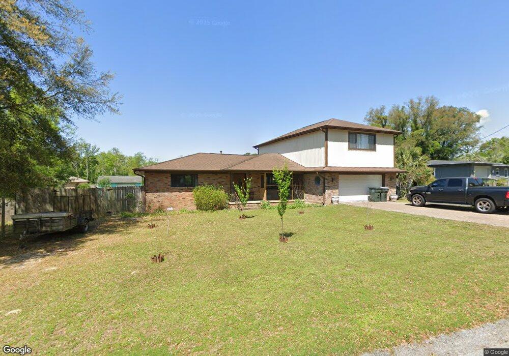
11 S 73rd Ave Pensacola, FL 32506
Estimated Value: $321,382 - $441,000
--
Bed
2
Baths
2,828
Sq Ft
$131/Sq Ft
Est. Value
About This Home
This home is located at 11 S 73rd Ave, Pensacola, FL 32506 and is currently estimated at $369,096, approximately $130 per square foot. 11 S 73rd Ave is a home located in Escambia County with nearby schools including Myrtle Grove Elementary School, Warrington Middle School, and Escambia High School.
Ownership History
Date
Name
Owned For
Owner Type
Purchase Details
Closed on
Oct 26, 1995
Sold by
Martin Marvin Rodolph and Martin Betty Jean
Bought by
Peterson Larry M and Peterson Sandra L
Current Estimated Value
Home Financials for this Owner
Home Financials are based on the most recent Mortgage that was taken out on this home.
Original Mortgage
$60,150
Outstanding Balance
$832
Interest Rate
7.48%
Mortgage Type
VA
Estimated Equity
$368,264
Create a Home Valuation Report for This Property
The Home Valuation Report is an in-depth analysis detailing your home's value as well as a comparison with similar homes in the area
Home Values in the Area
Average Home Value in this Area
Purchase History
| Date | Buyer | Sale Price | Title Company |
|---|---|---|---|
| Peterson Larry M | $59,000 | -- |
Source: Public Records
Mortgage History
| Date | Status | Borrower | Loan Amount |
|---|---|---|---|
| Open | Peterson Larry M | $60,150 |
Source: Public Records
Tax History Compared to Growth
Tax History
| Year | Tax Paid | Tax Assessment Tax Assessment Total Assessment is a certain percentage of the fair market value that is determined by local assessors to be the total taxable value of land and additions on the property. | Land | Improvement |
|---|---|---|---|---|
| 2024 | $1,587 | $155,006 | -- | -- |
| 2023 | $1,587 | $150,492 | $0 | $0 |
| 2022 | $1,545 | $146,109 | $0 | $0 |
| 2021 | $1,539 | $141,854 | $0 | $0 |
| 2020 | $1,498 | $139,896 | $0 | $0 |
| 2019 | $1,265 | $122,006 | $0 | $0 |
| 2018 | $1,261 | $119,732 | $0 | $0 |
| 2017 | $1,255 | $117,270 | $0 | $0 |
| 2016 | $1,242 | $114,858 | $0 | $0 |
| 2015 | $1,227 | $114,060 | $0 | $0 |
| 2014 | $1,149 | $108,671 | $0 | $0 |
Source: Public Records
Map
Nearby Homes
- 207 Arabian Dr
- 87 S 69th Ave
- 330 S 73rd Ave
- 365 Arabian Dr
- 403 N 73rd Ave
- 402 Ronji Way
- 330 Bunker Hill Dr
- 504 N 71st Ave
- 7416 Saint James Place
- 6912 Kitty Hawk Dr
- 8001 Westpointe Ln Unit 23B
- 6785 Malvern St
- 516 Long Lake Dr
- 7310 W Jackson St
- 8041 Westpointe Ln Unit 13B
- 8045 Westpointe Ln Unit 12B
- 8049 Westpointe Ln Unit 11B
- 8053 Westpointe Ln Unit 10B
- 8057 Westpointe Ln Unit Lot 9B
- 8061 Westpointe Ln Unit 8B
- 73RD Ave
- 9 S 73rd Ave
- 82 Campbellton Ln
- 73RD S 73rd Ave
- S S 73rd Ave
- 10 S 73rd Ave
- 110 Campbellton Ln
- 211 S 73rd Ave
- 7 S 73rd Ave
- 202 S 73rd Ave
- 64 Campbellton Ln
- 46 Campbellton Ln
- 46 Campbellton Dr
- 212 S 73rd Ave
- 8 S 73rd Ave
- 5 S 73rd Ave
- S Campbellton Ln
- 0 Campbellton Ln
- 21 S 72nd Ave
- 223 S 73rd Ave