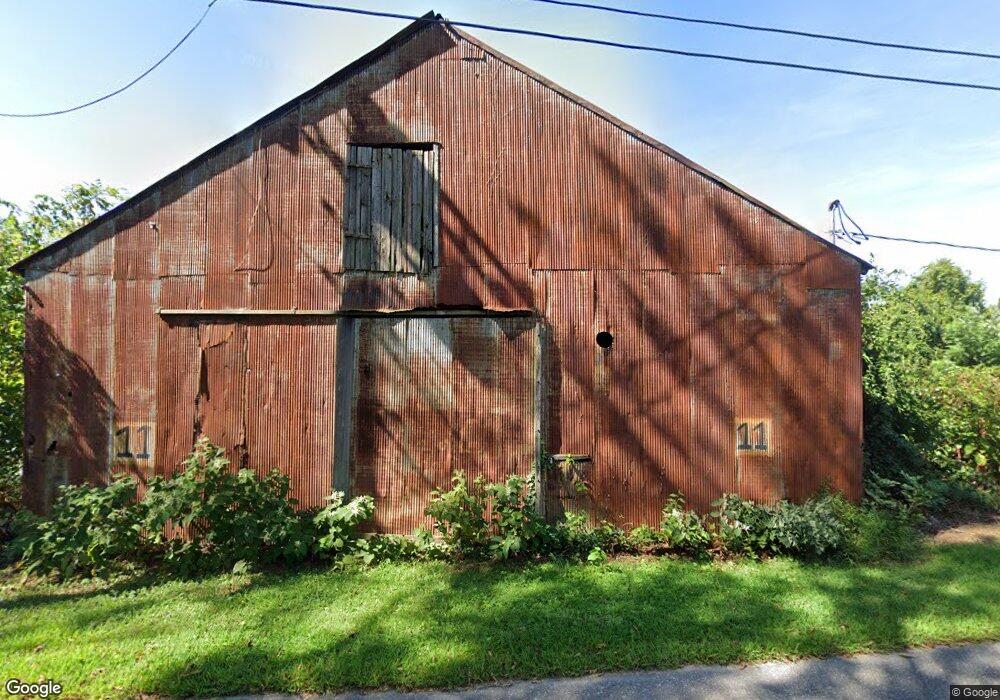
11 S Bridgeport Rd Bridgeport, NJ 08014
Logan Township NeighborhoodEstimated Value: $49,384 - $330,000
--
Bed
--
Bath
--
Sq Ft
0.7
Acres
About This Home
This home is located at 11 S Bridgeport Rd, Bridgeport, NJ 08014 and is currently estimated at $177,596. 11 S Bridgeport Rd is a home with nearby schools including Logan Township Elementary School.
Ownership History
Date
Name
Owned For
Owner Type
Purchase Details
Closed on
Nov 19, 2010
Sold by
Wright John C
Bought by
Brown Rita Y
Current Estimated Value
Home Financials for this Owner
Home Financials are based on the most recent Mortgage that was taken out on this home.
Original Mortgage
$20,000
Interest Rate
4.25%
Mortgage Type
Seller Take Back
Purchase Details
Closed on
Dec 15, 2005
Sold by
Wright John C
Bought by
Lanno Vincent
Create a Home Valuation Report for This Property
The Home Valuation Report is an in-depth analysis detailing your home's value as well as a comparison with similar homes in the area
Home Values in the Area
Average Home Value in this Area
Purchase History
| Date | Buyer | Sale Price | Title Company |
|---|---|---|---|
| Brown Rita Y | $20,000 | Victorian Title Agency Inc | |
| Lanno Vincent | $30,000 | Victorian Title | |
| Wright John C | -- | Victorian Title Agency |
Source: Public Records
Mortgage History
| Date | Status | Borrower | Loan Amount |
|---|---|---|---|
| Closed | Brown Rita Y | $20,000 |
Source: Public Records
Tax History Compared to Growth
Tax History
| Year | Tax Paid | Tax Assessment Tax Assessment Total Assessment is a certain percentage of the fair market value that is determined by local assessors to be the total taxable value of land and additions on the property. | Land | Improvement |
|---|---|---|---|---|
| 2025 | $199 | $15,300 | $11,300 | $4,000 |
| 2024 | $247 | $15,300 | $11,300 | $4,000 |
| 2023 | $247 | $12,300 | $9,800 | $2,500 |
| 2022 | $257 | $12,300 | $9,800 | $2,500 |
| 2021 | $267 | $12,300 | $9,800 | $2,500 |
| 2020 | $268 | $12,300 | $9,800 | $2,500 |
| 2019 | $267 | $12,300 | $9,800 | $2,500 |
| 2018 | $260 | $12,300 | $9,800 | $2,500 |
| 2017 | $667 | $26,600 | $20,000 | $6,600 |
| 2016 | $656 | $26,600 | $20,000 | $6,600 |
| 2015 | $580 | $26,600 | $20,000 | $6,600 |
| 2014 | $562 | $26,600 | $20,000 | $6,600 |
Source: Public Records
Map
Nearby Homes
- 33 Mechanic St
- 71 Main St
- 17 Hickory Ln
- 126 Repaupo Station Rd
- 43 45 Repaupo Station Rd
- 103 Highland Ave
- 103 Thurlow St Unit 306
- 788 Paulsboro Rd
- 112 Carriage Ln
- 792 Paulsboro Rd
- 223 Jeffrey St
- 0 Palmer St Unit PADE2073654
- 328 Pedricktown Rd
- 2821 W 3rd St
- 12 Parker St
- 0 Price St
- 2325 W 4th St
- 321 Highland Ave
- 1402 W 3rd St
- 803 W Mary St