11 S Dyer's Cove Harpswell, ME 04079
Harpswell NeighborhoodEstimated Value: $936,000 - $1,309,000
3
Beds
3
Baths
2,440
Sq Ft
$435/Sq Ft
Est. Value
About This Home
This home is located at 11 S Dyer's Cove, Harpswell, ME 04079 and is currently estimated at $1,061,577, approximately $435 per square foot. 11 S Dyer's Cove is a home located in Cumberland County with nearby schools including Mt Ararat High School.
Ownership History
Date
Name
Owned For
Owner Type
Purchase Details
Closed on
Apr 5, 2022
Sold by
Silver Michael L and Silver Kelly L
Bought by
Solana Kyle and Solana Danyelle
Current Estimated Value
Home Financials for this Owner
Home Financials are based on the most recent Mortgage that was taken out on this home.
Original Mortgage
$639,375
Outstanding Balance
$596,104
Interest Rate
3.89%
Mortgage Type
Purchase Money Mortgage
Estimated Equity
$465,473
Purchase Details
Closed on
Jan 29, 2018
Sold by
Pennell Brian S and Pennell Mara K
Bought by
Silver Kelly L and Silver Michael L
Home Financials for this Owner
Home Financials are based on the most recent Mortgage that was taken out on this home.
Original Mortgage
$259,400
Interest Rate
3.93%
Mortgage Type
New Conventional
Create a Home Valuation Report for This Property
The Home Valuation Report is an in-depth analysis detailing your home's value as well as a comparison with similar homes in the area
Home Values in the Area
Average Home Value in this Area
Purchase History
| Date | Buyer | Sale Price | Title Company |
|---|---|---|---|
| Solana Kyle | $625,000 | None Available | |
| Silver Kelly L | -- | -- |
Source: Public Records
Mortgage History
| Date | Status | Borrower | Loan Amount |
|---|---|---|---|
| Open | Solana Kyle | $639,375 | |
| Previous Owner | Silver Kelly L | $259,400 |
Source: Public Records
Tax History Compared to Growth
Tax History
| Year | Tax Paid | Tax Assessment Tax Assessment Total Assessment is a certain percentage of the fair market value that is determined by local assessors to be the total taxable value of land and additions on the property. | Land | Improvement |
|---|---|---|---|---|
| 2024 | $3,978 | $625,400 | $205,600 | $419,800 |
| 2023 | $3,815 | $625,400 | $205,600 | $419,800 |
| 2022 | $3,690 | $625,400 | $205,600 | $419,800 |
| 2021 | $2,782 | $411,500 | $161,000 | $250,500 |
| 2020 | $2,774 | $411,500 | $161,000 | $250,500 |
| 2019 | $2,757 | $411,500 | $161,000 | $250,500 |
| 2018 | $2,667 | $411,500 | $161,000 | $250,500 |
| 2017 | $2,647 | $409,800 | $161,000 | $248,800 |
| 2016 | $2,623 | $409,800 | $161,000 | $248,800 |
| 2015 | $2,557 | $409,800 | $161,000 | $248,800 |
| 2013 | $2,088 | $361,200 | $50,400 | $310,800 |
Source: Public Records
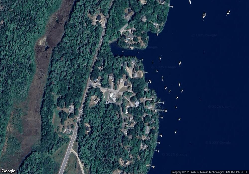
Map
Nearby Homes
- 37 & 38 S Dyers Cove Rd
- 11 Orion Point Way
- 242 Long Reach Ln
- 136 Bethel Point Rd
- 270 Harpswell Neck Rd
- 943 Cundys Harbor Rd
- lot C Long Point Rd
- 93 Abbot Cove Rd
- 646 Gurnet Rd
- 29 & 30 Nob Hill Ave
- 205 W Cundys Point
- 51 & 53 Rock Haven Dr
- 0 Bayview Rd Unit 2 1632776
- Map 80 Lot 18-0 White Island
- Lot 2A Allen Point Rd
- Lot 2B Allen Point Rd
- 20 Long Point Island
- Lot 129 Harpswell Neck Rd
- 260 Coombs Rd
- 41 Spruce Brook Dr
- 11 S Dyers Cove Rd
- 9 Muskegon Shore Rd
- 49 S Dyers Cove Rd
- 561 Harpswell Islands Rd
- 12 S Dyers Cove Rd
- 0 Muskegon Shore Rd
- 0 Muskegon Shore Rd
- 8 Muskegon Shore Rd
- 10 Muskegon Shore Rd
- 12 Muskegon Shore Rd
- 4 S Dyers Cove Rd
- 21 S Dyers Cove Rd
- 30 S Dyers Cove Rd
- 30 S Dyer's Cove Rd
- 61 Dyers Cove Rd
- 27 S Dyers Cove Rd
- 12 Starlight Dr
- 11 Starlight Dr
- 29 S Dyers Cove Rd
- 31 S Dyers Cove Rd