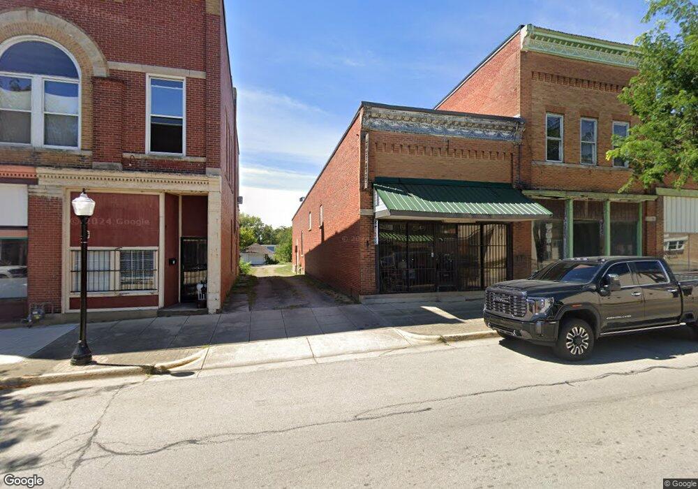
11 S Main St Jeffersonville, OH 43128
Estimated Value: $136,229
--
Bed
--
Bath
1,701
Sq Ft
$80/Sq Ft
Est. Value
About This Home
This home is located at 11 S Main St, Jeffersonville, OH 43128 and is currently estimated at $136,229, approximately $80 per square foot. 11 S Main St is a home located in Fayette County with nearby schools including Miami Trace Elementary School, Miami Trace Middle School, and Miami Trace High School.
Ownership History
Date
Name
Owned For
Owner Type
Purchase Details
Closed on
Oct 20, 2010
Sold by
Blanton James E and Blanton Shirley C
Bought by
Mcmeans Michael and Mcmeans Toni D
Current Estimated Value
Purchase Details
Closed on
May 12, 1997
Sold by
France James E
Bought by
Blanton James E and Blanton Shirley C
Home Financials for this Owner
Home Financials are based on the most recent Mortgage that was taken out on this home.
Original Mortgage
$40,000
Outstanding Balance
$5,502
Interest Rate
8.05%
Mortgage Type
Commercial
Estimated Equity
$130,727
Purchase Details
Closed on
Apr 20, 1992
Bought by
Mcmeans Michael and Surv Toni D
Create a Home Valuation Report for This Property
The Home Valuation Report is an in-depth analysis detailing your home's value as well as a comparison with similar homes in the area
Home Values in the Area
Average Home Value in this Area
Purchase History
| Date | Buyer | Sale Price | Title Company |
|---|---|---|---|
| Mcmeans Michael | $8,500 | Central States Title Agency | |
| Blanton James E | $50,000 | -- | |
| Mcmeans Michael | $25,000 | -- |
Source: Public Records
Mortgage History
| Date | Status | Borrower | Loan Amount |
|---|---|---|---|
| Open | Blanton James E | $40,000 |
Source: Public Records
Tax History Compared to Growth
Tax History
| Year | Tax Paid | Tax Assessment Tax Assessment Total Assessment is a certain percentage of the fair market value that is determined by local assessors to be the total taxable value of land and additions on the property. | Land | Improvement |
|---|---|---|---|---|
| 2024 | $538 | $9,730 | $2,520 | $7,210 |
| 2023 | $538 | $7,740 | $1,680 | $6,060 |
| 2022 | $500 | $7,770 | $1,680 | $6,090 |
| 2021 | $489 | $7,770 | $1,680 | $6,090 |
| 2020 | $489 | $7,770 | $1,680 | $6,090 |
| 2019 | $493 | $7,770 | $1,680 | $6,090 |
| 2018 | $551 | $7,770 | $1,680 | $6,090 |
| 2017 | $572 | $10,680 | $1,680 | $9,000 |
| 2016 | $564 | $10,680 | $1,680 | $9,000 |
| 2015 | $607 | $0 | $0 | $0 |
| 2013 | $591 | $10,675 | $1,680 | $8,995 |
| 2012 | -- | $30,500 | $0 | $0 |
Source: Public Records
Map
Nearby Homes
- 16 W Walnut St
- 13 E High St
- 24 W High St
- 20 Maple St
- 22 Maple St
- 14 Janes St
- 27 E High St
- 5 Creamer Ave
- 5 Creamer St
- 32 Railroad St
- 39 State St
- 45 State St
- 53 State St
- 328 Woodsview Dr
- 13812 State Route 41
- 4842 State Route 734
- 2397 Hidy Rd NW
- 10681 Prairie Rd
- 5937 State Route 41 NW
- 12345 State Route 38 NE