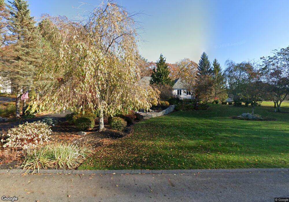
11 Sadie Hutt Ln Southborough, MA 01772
Estimated Value: $1,884,209 - $2,824,000
4
Beds
5
Baths
5,847
Sq Ft
$391/Sq Ft
Est. Value
About This Home
This home is located at 11 Sadie Hutt Ln, Southborough, MA 01772 and is currently estimated at $2,287,802, approximately $391 per square foot. 11 Sadie Hutt Ln is a home located in Worcester County with nearby schools including Albert S. Woodward Memorial School, Margaret A. Neary School, and P. Brent Trottier Middle School.
Create a Home Valuation Report for This Property
The Home Valuation Report is an in-depth analysis detailing your home's value as well as a comparison with similar homes in the area
Home Values in the Area
Average Home Value in this Area
Tax History Compared to Growth
Tax History
| Year | Tax Paid | Tax Assessment Tax Assessment Total Assessment is a certain percentage of the fair market value that is determined by local assessors to be the total taxable value of land and additions on the property. | Land | Improvement |
|---|---|---|---|---|
| 2025 | $27,014 | $1,956,100 | $491,300 | $1,464,800 |
| 2024 | $25,272 | $1,816,800 | $480,800 | $1,336,000 |
| 2023 | $22,245 | $1,507,100 | $449,000 | $1,058,100 |
| 2022 | $22,138 | $1,359,800 | $390,700 | $969,100 |
| 2021 | $0 | $1,359,700 | $380,500 | $979,200 |
| 2020 | $21,765 | $1,306,400 | $355,700 | $950,700 |
| 2019 | $2,437 | $1,294,600 | $350,800 | $943,800 |
| 2018 | $0 | $1,265,800 | $350,800 | $915,000 |
| 2017 | $19,055 | $1,163,300 | $315,500 | $847,800 |
| 2016 | $17,633 | $1,114,600 | $320,900 | $793,700 |
| 2015 | $16,840 | $1,051,200 | $305,600 | $745,600 |
Source: Public Records
Map
Nearby Homes
- lot 1 Sears Rd
- 14 Wolfpen Ln
- Lot 2 Quinn Rd
- 150 Framingham Rd
- 39 Desimone Dr
- 43 Stearns Rd
- 58 Walker St
- 58 Framingham Rd
- 146 Framingham Rd
- 11 Whispering Brook Rd Unit 55
- 14 Lovers Ln
- 36 E Main St
- 15 Lovers Ln
- 20 Clifford Rd
- 00 Plymouth St
- 3 Madison St
- 6 Eastbrook Farm Ln
- 53-55 Edinboro St
- 144 Howe St
- 9 John Matthews Rd
- 9 Sadie Hutt Ln
- 13 Sadie Hutt Ln
- 16 Sadie Hutt Ln
- 5 Sadie Hutt Ln
- 14 Sadie Hutt Ln
- 14 Sadie Hutt Ln
- 14 Sadie Hutt Ln Unit B
- 15 Sadie Hutt Ln
- 12 Sadie Hutt Ln
- 10 Sadie Hutt Ln
- Lot 12B Sadie Hutt Ln
- 17 Sadie Hutt Ln
- 49 Presidential Dr
- 20 Sadie Hutt Ln
- 24 Sadie Hutt Ln
- 47 Presidential Dr
- 22 Sadie Hutt Ln
- 5 Glenwood Rd
- 19 Sadie Hutt Ln
- 4 Sadie Hutt Ln