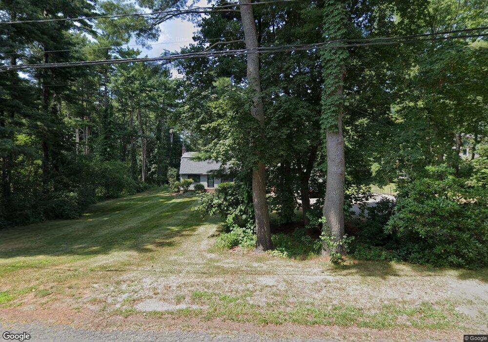
11 Sagamore Rd Ipswich, MA 01938
Estimated Value: $940,000 - $1,079,000
3
Beds
2
Baths
1,711
Sq Ft
$579/Sq Ft
Est. Value
About This Home
This home is located at 11 Sagamore Rd, Ipswich, MA 01938 and is currently estimated at $991,185, approximately $579 per square foot. 11 Sagamore Rd is a home located in Essex County with nearby schools including Ipswich High School.
Ownership History
Date
Name
Owned For
Owner Type
Purchase Details
Closed on
Sep 28, 2007
Sold by
Means William Roger
Bought by
Gagnon Michelle E and Gagnon Michael J
Current Estimated Value
Home Financials for this Owner
Home Financials are based on the most recent Mortgage that was taken out on this home.
Original Mortgage
$399,920
Interest Rate
6.65%
Mortgage Type
Purchase Money Mortgage
Purchase Details
Closed on
Feb 26, 2007
Sold by
Means Ellen Lee
Bought by
Means William Roger
Purchase Details
Closed on
Jan 16, 1997
Sold by
Dalton Arthur C and Dalton Beverly A
Bought by
Means William and Means Ellen Lee
Create a Home Valuation Report for This Property
The Home Valuation Report is an in-depth analysis detailing your home's value as well as a comparison with similar homes in the area
Home Values in the Area
Average Home Value in this Area
Purchase History
| Date | Buyer | Sale Price | Title Company |
|---|---|---|---|
| Gagnon Michelle E | $499,900 | -- | |
| Means William Roger | -- | -- | |
| Means William | $239,000 | -- |
Source: Public Records
Mortgage History
| Date | Status | Borrower | Loan Amount |
|---|---|---|---|
| Open | Means William | $404,000 | |
| Closed | Means William | $399,920 |
Source: Public Records
Tax History Compared to Growth
Tax History
| Year | Tax Paid | Tax Assessment Tax Assessment Total Assessment is a certain percentage of the fair market value that is determined by local assessors to be the total taxable value of land and additions on the property. | Land | Improvement |
|---|---|---|---|---|
| 2025 | $9,728 | $872,500 | $441,900 | $430,600 |
| 2024 | $8,952 | $786,600 | $441,600 | $345,000 |
| 2023 | $8,494 | $694,500 | $376,300 | $318,200 |
| 2022 | $8,151 | $633,800 | $334,900 | $298,900 |
| 2021 | $7,781 | $588,600 | $321,800 | $266,800 |
| 2020 | $7,928 | $565,500 | $308,700 | $256,800 |
| 2019 | $7,621 | $540,900 | $293,500 | $247,400 |
| 2018 | $7,325 | $514,400 | $280,400 | $234,000 |
| 2017 | $7,078 | $498,800 | $267,400 | $231,400 |
| 2016 | $7,040 | $474,100 | $267,400 | $206,700 |
| 2015 | $6,261 | $463,400 | $258,600 | $204,800 |
Source: Public Records
Map
Nearby Homes
- 22 Sagamore Rd
- 60 Lakemans Ln
- 946 Bay Rd Unit 2
- 30 Autumn Ln
- 500 Colonial Dr Unit 3
- 24 Primrose Ln Unit 24
- 154 Argilla Rd
- 238 Western Ave Unit A
- 24 Sagamore St
- 0 Meyer Ln
- 24 River Point Dr Unit 6
- 6 Mayfair Ct
- 16 Elm St
- 50-56 Market St
- 50 Market St Unit 2
- 80 Rockmaple Ave
- 21 Brownville Ave
- Zero Bridge Street Lot Eight
- 399 Bridge St
- 20 Summer St Unit 20