11 Sandy Way Gloucester, MA 01930
West Gloucester NeighborhoodEstimated Value: $1,279,000 - $4,357,000
5
Beds
3
Baths
1,661
Sq Ft
$2,003/Sq Ft
Est. Value
About This Home
This home is located at 11 Sandy Way, Gloucester, MA 01930 and is currently estimated at $3,327,510, approximately $2,003 per square foot. 11 Sandy Way is a home located in Essex County with nearby schools including West Parish and Ralph B O'maley Middle School.
Ownership History
Date
Name
Owned For
Owner Type
Purchase Details
Closed on
Sep 14, 2017
Sold by
Mccall James R
Bought by
Muros Joan M
Current Estimated Value
Purchase Details
Closed on
Nov 24, 1992
Sold by
Eleven Sandy Way Tr
Bought by
Mccall James R and Muros Joan M
Home Financials for this Owner
Home Financials are based on the most recent Mortgage that was taken out on this home.
Original Mortgage
$520,000
Interest Rate
7.95%
Mortgage Type
Purchase Money Mortgage
Purchase Details
Closed on
Jun 5, 1992
Sold by
Murphy James F
Bought by
Eleven Sandy Way T
Create a Home Valuation Report for This Property
The Home Valuation Report is an in-depth analysis detailing your home's value as well as a comparison with similar homes in the area
Home Values in the Area
Average Home Value in this Area
Purchase History
| Date | Buyer | Sale Price | Title Company |
|---|---|---|---|
| Muros Joan M | -- | -- | |
| Mccall James R | $685,000 | -- | |
| Eleven Sandy Way T | $700,000 | -- |
Source: Public Records
Mortgage History
| Date | Status | Borrower | Loan Amount |
|---|---|---|---|
| Previous Owner | Eleven Sandy Way T | $200,000 | |
| Previous Owner | Eleven Sandy Way T | $375,000 | |
| Previous Owner | Eleven Sandy Way T | $520,000 |
Source: Public Records
Tax History Compared to Growth
Tax History
| Year | Tax Paid | Tax Assessment Tax Assessment Total Assessment is a certain percentage of the fair market value that is determined by local assessors to be the total taxable value of land and additions on the property. | Land | Improvement |
|---|---|---|---|---|
| 2025 | $39,329 | $4,046,200 | $3,068,500 | $977,700 |
| 2024 | $37,126 | $3,815,600 | $2,922,400 | $893,200 |
| 2023 | $34,433 | $3,251,500 | $2,491,300 | $760,200 |
| 2022 | $32,137 | $2,739,700 | $2,074,100 | $665,600 |
| 2021 | $31,034 | $2,494,700 | $1,887,100 | $607,600 |
| 2020 | $30,740 | $2,493,100 | $1,887,100 | $606,000 |
| 2019 | $30,484 | $2,402,200 | $1,799,400 | $602,800 |
| 2018 | $29,523 | $2,283,300 | $1,755,500 | $527,800 |
| 2017 | $29,187 | $2,212,800 | $1,671,800 | $541,000 |
| 2016 | $24,346 | $1,788,800 | $1,308,400 | $480,400 |
| 2015 | $22,274 | $1,631,800 | $1,278,600 | $353,200 |
Source: Public Records
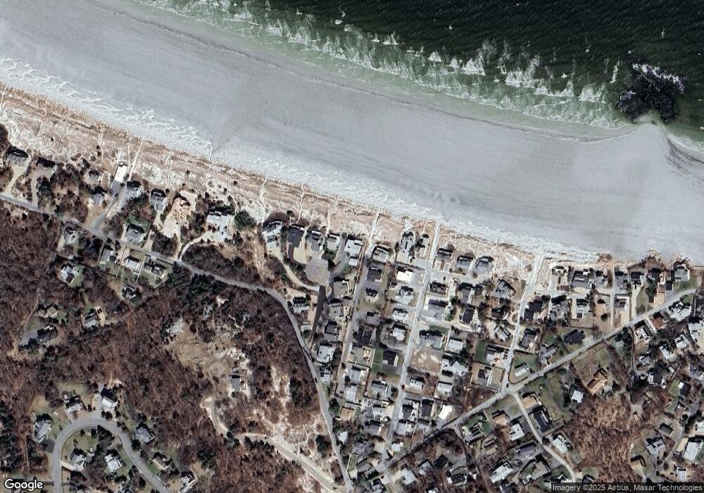
Map
Nearby Homes
- 226 Atlantic St
- 188 Atlantic St
- 6 River Rd
- 672 Washington St
- 30 Atlantic St
- 49 Thurston Point Rd
- 109 Riverview Rd
- 3 Colburn St
- 3 Colburn St Unit 1
- 3 Colburn St Unit 2
- 48 Rowley Shore
- 18 Cherry St
- 65 Poplar St
- 5 Samoset Rd Unit A
- 11 Overlook Ave
- 19 Mystic Ave
- 6 Beauport Ave
- 368 Essex Ave
- 145 Essex Ave Unit 610
- 78 Grove St
- 10 Sandy Way
- 19 Bayle Ln
- 8 Sandy Way
- 17 Bayle Ln
- 15 Bayle Ln
- 6 Sandy Way
- 26 Sleepy Hollow Rd
- 7 Sandy Way
- 28 Sleepy Hollow Rd
- 24 Sleepy Hollow Rd
- 28R Sleepy Hollow Rd
- 13 Bayle Ln
- 2 Sandy Way
- 4 Sandy Way
- 22 Sleepy Hollow Rd
- 5 Sandy Way
- 11 Bayle Ln
- 30 Sleepy Hollow Rd
- 19 Sleepy Hollow Rd
- 18 Sleepy Hollow Rd