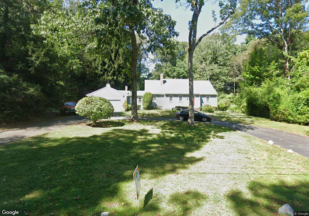
11 Satuit Trail Scituate, MA 02066
Estimated Value: $1,033,360 - $1,267,000
4
Beds
3
Baths
2,254
Sq Ft
$502/Sq Ft
Est. Value
About This Home
This home is located at 11 Satuit Trail, Scituate, MA 02066 and is currently estimated at $1,131,840, approximately $502 per square foot. 11 Satuit Trail is a home located in Plymouth County with nearby schools including Jenkins Elementary School, Lester J. Gates Middle School, and Scituate High School.
Ownership History
Date
Name
Owned For
Owner Type
Purchase Details
Closed on
Dec 23, 2014
Sold by
Peters Walter F
Bought by
Peters Ft and Peters Walter F
Current Estimated Value
Purchase Details
Closed on
Jun 27, 1979
Bought by
Peters Walter and Peters Donna
Create a Home Valuation Report for This Property
The Home Valuation Report is an in-depth analysis detailing your home's value as well as a comparison with similar homes in the area
Home Values in the Area
Average Home Value in this Area
Purchase History
| Date | Buyer | Sale Price | Title Company |
|---|---|---|---|
| Peters Ft | -- | -- | |
| Peters Walter | -- | -- |
Source: Public Records
Mortgage History
| Date | Status | Borrower | Loan Amount |
|---|---|---|---|
| Previous Owner | Peters Walter | $100,000 | |
| Previous Owner | Peters Walter | $75,000 |
Source: Public Records
Tax History Compared to Growth
Tax History
| Year | Tax Paid | Tax Assessment Tax Assessment Total Assessment is a certain percentage of the fair market value that is determined by local assessors to be the total taxable value of land and additions on the property. | Land | Improvement |
|---|---|---|---|---|
| 2025 | $8,697 | $870,600 | $400,600 | $470,000 |
| 2024 | $8,549 | $825,200 | $364,200 | $461,000 |
| 2023 | $8,416 | $759,700 | $349,500 | $410,200 |
| 2022 | $8,416 | $666,900 | $322,800 | $344,100 |
| 2021 | $8,043 | $603,400 | $307,400 | $296,000 |
| 2020 | $7,799 | $577,700 | $295,500 | $282,200 |
| 2019 | $7,639 | $556,000 | $289,700 | $266,300 |
| 2018 | $7,686 | $551,000 | $298,900 | $252,100 |
| 2017 | $7,595 | $539,000 | $286,900 | $252,100 |
| 2016 | $7,284 | $515,100 | $263,000 | $252,100 |
| 2015 | $6,591 | $503,100 | $251,000 | $252,100 |
Source: Public Records
Map
Nearby Homes
- 17 Old Oaken Bucket Rd
- 19 Ford Place Unit 3
- 19 Ford Place Unit 1
- 29 Ladds Way Unit 29
- 9 Cushing Park Rd
- 115 Elm St
- 111 Elm St
- 3 Grace Way Unit 3
- 1 Grace Way Unit 1
- 27 Grace Way
- 252 Winter St
- 131 Maple St
- 25 Webster Farm Way
- 23 Webster Farm Way
- 59 Greenfield Ln
- 3 Webster Farm Way
- 5 Webster Farm Way
- 2 Webster Farm Way
- 32 Fairview Ave
- 575 First Parish Rd
- 7 Satuit Trail
- 19 Satuit Trail
- 20 Satuit Trail
- 10 Satuit Trail
- 322 Chief Justice Cushing Hwy
- 322 Chief Justice Cushing Hwy Unit cottage A
- 322 Chief Justice Cushing Hwy Unit A
- 25 Satuit Trail
- 332 Chief Justice Cushing Hwy
- 5 Wamsutta Rd
- 28 Satuit Trail
- 4 Briggs Ln
- 11 Wamsutta Rd
- 37 Satuit Trail
- 107 Satuit Trail
- 109 Satuit Trail
- 52 Old Oaken Bucket Rd
- 315 Chief Justice Cushing Hwy
- 47 Satuit Trail
- 30 Satuit Trail