11 Scatacook Path Sharon, CT 06069
Estimated Value: $241,000 - $381,000
2
Beds
1
Bath
904
Sq Ft
$346/Sq Ft
Est. Value
About This Home
This home is located at 11 Scatacook Path, Sharon, CT 06069 and is currently estimated at $313,094, approximately $346 per square foot. 11 Scatacook Path is a home located in Litchfield County with nearby schools including Housatonic Valley Regional High School and Indian Mountain School.
Ownership History
Date
Name
Owned For
Owner Type
Purchase Details
Closed on
Jun 18, 2007
Sold by
Didomenico Richard J and Didomenico Carolyn
Bought by
Imholz John T
Current Estimated Value
Home Financials for this Owner
Home Financials are based on the most recent Mortgage that was taken out on this home.
Original Mortgage
$176,000
Outstanding Balance
$107,693
Interest Rate
6.19%
Estimated Equity
$205,401
Create a Home Valuation Report for This Property
The Home Valuation Report is an in-depth analysis detailing your home's value as well as a comparison with similar homes in the area
Home Values in the Area
Average Home Value in this Area
Purchase History
| Date | Buyer | Sale Price | Title Company |
|---|---|---|---|
| Imholz John T | $220,000 | -- | |
| Imholz John T | $220,000 | -- |
Source: Public Records
Mortgage History
| Date | Status | Borrower | Loan Amount |
|---|---|---|---|
| Open | Imholz John T | $176,000 | |
| Closed | Imholz John T | $176,000 |
Source: Public Records
Tax History
| Year | Tax Paid | Tax Assessment Tax Assessment Total Assessment is a certain percentage of the fair market value that is determined by local assessors to be the total taxable value of land and additions on the property. | Land | Improvement |
|---|---|---|---|---|
| 2025 | $1,829 | $164,000 | $61,300 | $102,700 |
| 2024 | $1,730 | $164,000 | $61,300 | $102,700 |
| 2023 | $1,588 | $110,300 | $47,300 | $63,000 |
| 2022 | $1,588 | $110,300 | $47,300 | $63,000 |
| 2021 | $1,599 | $110,300 | $47,300 | $63,000 |
| 2020 | $1,588 | $110,300 | $47,300 | $63,000 |
| 2019 | $1,588 | $110,300 | $47,300 | $63,000 |
| 2018 | $1,776 | $120,800 | $46,100 | $74,700 |
| 2017 | $1,776 | $120,800 | $46,100 | $74,700 |
| 2016 | $1,740 | $120,800 | $46,100 | $74,700 |
| 2015 | $1,655 | $120,800 | $46,100 | $74,700 |
| 2014 | $1,601 | $120,800 | $46,100 | $74,700 |
Source: Public Records
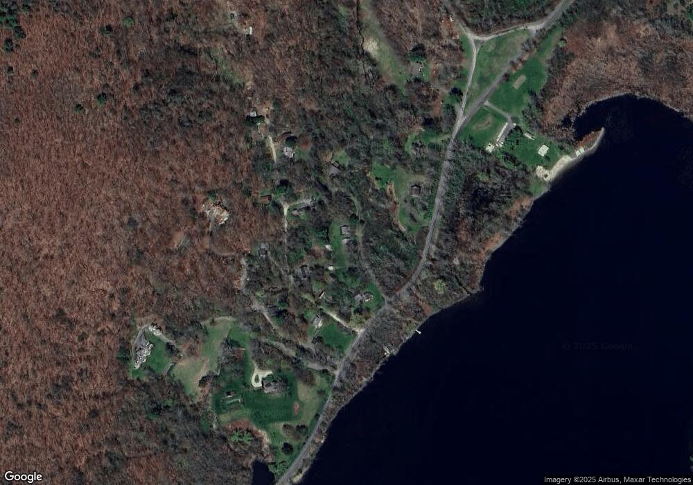
Map
Nearby Homes
- 8 Mudgetown Rd
- 6 Juniper Ledge Ln
- 40 Valley Rd
- 11 Valley Rd
- 5 Valley Rd
- 151 Lake Ln
- 202 Sharon Valley Rd
- 400 Gay St
- 48 Long Pond Rd
- 0 Millerton Rd Unit 24160426
- 79 Hilltop Rd
- 16 Upper Main St
- 0 Cornwall Bridge Rd Unit 170559925
- 138 Amenia Rd
- 59 Cornwall Bridge Rd
- 2 Great Elm Rd
- 50 Jewett Hill Rd
- 0 Mill Rd Unit KEY932153
- 331 Calkinstown Rd
- 0 Lime Rock Rd Unit 24116442
- 15 Scatacook Path
- 18 Minneluta Trail
- 121 Mudge Pond Rd
- 12 Minneluta Trail
- 133 Mudge Pond Rd
- 28 Minneluta Trail
- 28 Minneluta Trail
- 0 Minneluta Trail Unit L142637
- 0 Minneluta Trail Unit L148293
- 000 Minneluta Trail
- 00 Minneluta Trail
- 8 Luta Heights
- 19 Minneluta Trail
- 22 Luta Heights
- 16 Luta Heights
- 25 Minneluta Trail
- 23 Scatacook Path
- 135 Mudge Pond Rd
- 38 Minneluta Trail
- 40 Minneluta Trail
Your Personal Tour Guide
Ask me questions while you tour the home.