11 Schofield Rd Dennis, MA 02638
Dennis Village NeighborhoodEstimated Value: $500,000 - $768,000
2
Beds
2
Baths
920
Sq Ft
$709/Sq Ft
Est. Value
About This Home
This home is located at 11 Schofield Rd, Dennis, MA 02638 and is currently estimated at $652,295, approximately $709 per square foot. 11 Schofield Rd is a home located in Barnstable County with nearby schools including Dennis-Yarmouth Regional High School.
Ownership History
Date
Name
Owned For
Owner Type
Purchase Details
Closed on
Oct 5, 2001
Sold by
Spada William F and Spada Patricia A
Bought by
Depalo Joseph M and Depalo Barbara R
Current Estimated Value
Home Financials for this Owner
Home Financials are based on the most recent Mortgage that was taken out on this home.
Original Mortgage
$128,000
Interest Rate
6.89%
Mortgage Type
Purchase Money Mortgage
Purchase Details
Closed on
Apr 30, 1999
Sold by
Shea John F
Bought by
Spada William F and Spada Patricia A
Home Financials for this Owner
Home Financials are based on the most recent Mortgage that was taken out on this home.
Original Mortgage
$103,000
Interest Rate
6.95%
Mortgage Type
Purchase Money Mortgage
Purchase Details
Closed on
Dec 4, 1991
Sold by
Long William A
Bought by
Shea John F
Home Financials for this Owner
Home Financials are based on the most recent Mortgage that was taken out on this home.
Original Mortgage
$68,000
Interest Rate
8.82%
Mortgage Type
Purchase Money Mortgage
Create a Home Valuation Report for This Property
The Home Valuation Report is an in-depth analysis detailing your home's value as well as a comparison with similar homes in the area
Home Values in the Area
Average Home Value in this Area
Purchase History
| Date | Buyer | Sale Price | Title Company |
|---|---|---|---|
| Depalo Joseph M | $188,000 | -- | |
| Spada William F | $130,000 | -- | |
| Shea John F | $49,000 | -- |
Source: Public Records
Mortgage History
| Date | Status | Borrower | Loan Amount |
|---|---|---|---|
| Open | Shea John F | $130,300 | |
| Closed | Shea John F | $128,000 | |
| Previous Owner | Shea John F | $103,000 | |
| Previous Owner | Shea John F | $68,000 |
Source: Public Records
Tax History Compared to Growth
Tax History
| Year | Tax Paid | Tax Assessment Tax Assessment Total Assessment is a certain percentage of the fair market value that is determined by local assessors to be the total taxable value of land and additions on the property. | Land | Improvement |
|---|---|---|---|---|
| 2025 | $2,233 | $515,800 | $192,600 | $323,200 |
| 2024 | $2,083 | $474,400 | $185,200 | $289,200 |
| 2023 | $1,923 | $411,800 | $168,400 | $243,400 |
| 2022 | $1,866 | $333,200 | $151,700 | $181,500 |
| 2021 | $1,798 | $298,100 | $148,700 | $149,400 |
| 2020 | $1,665 | $272,900 | $137,300 | $135,600 |
| 2019 | $1,575 | $255,200 | $134,600 | $120,600 |
| 2018 | $1,575 | $248,500 | $138,800 | $109,700 |
| 2017 | $1,441 | $234,300 | $128,100 | $106,200 |
| 2016 | $1,452 | $222,300 | $133,500 | $88,800 |
| 2015 | $1,423 | $222,300 | $133,500 | $88,800 |
| 2014 | $1,309 | $206,200 | $117,400 | $88,800 |
Source: Public Records
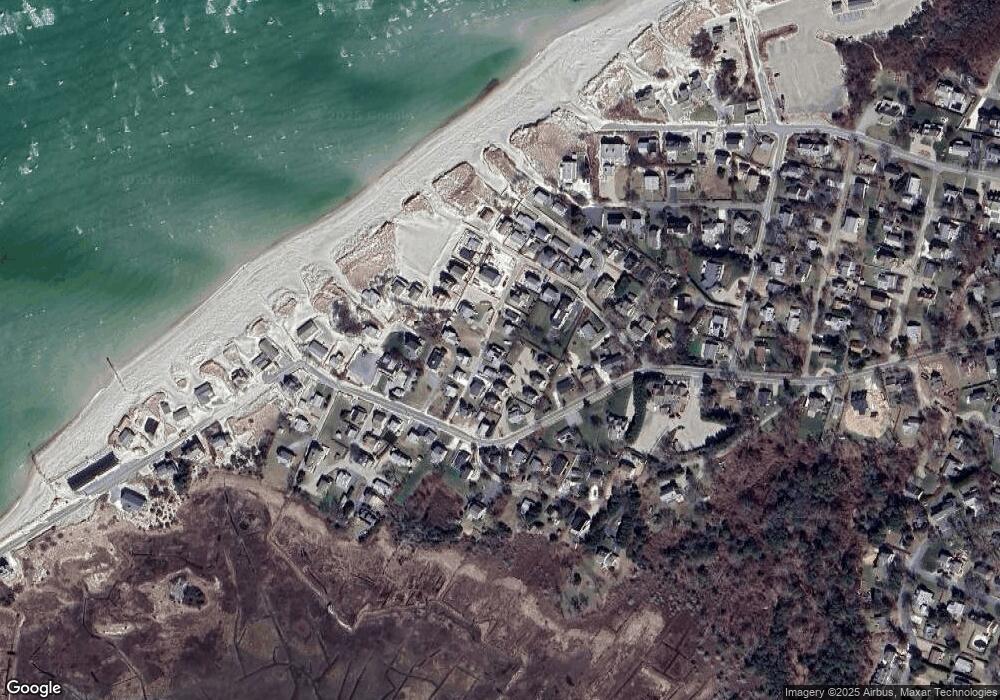
Map
Nearby Homes
- 7 Collins Ave
- 4 Spadoni Rd
- 4 Spadoni Way
- 49 Rodoalph's Way
- 69 Horsefoot Path
- 18 Donovan Way
- 12 Dunes View Rd
- 25 Horsefoot Path
- 13 Hippogriffe Rd
- 96 Shore Dr
- 1 Johnson Ln
- 37 Johnson Ln
- 7 Dolphin Way
- 73 Pilgrim Rd
- 9 Bayberry Ln
- 84 Hiram Pond Rd
- 59 Hope Ln
- 19 Deacon Joseph Ln
- 645 Main St Back Lot
- 50 John Hall Cartway Unit 50
- 9 Schofield Rd
- 13 Schofield Rd
- 7 Schofield Rd
- 110 Taunton Ave
- 110 Taunton Ave Unit Masthead
- 110 Taunton Ave Unit 1-7
- 110 Taunton Ave Unit 7
- 110 Taunton Ave Unit 110
- 110 Taunton Ave Unit 6
- 110 Taunton Ave Unit 5
- 110 Taunton Ave Unit 3
- 110 Taunton Ave Unit 4
- 110 Taunton Ave Unit 1
- 110 Taunton Ave Unit 2
- 110 Taunton Ave Unit F
- 110 Taunton Ave Unit A
- 110 Taunton Ave Unit B
- 110 Taunton Ave Unit D
- 110 Taunton Ave Unit E