11 Seaview Ct Port Townsend, WA 98368
Kala Point NeighborhoodEstimated Value: $630,542 - $698,000
1
Bed
2
Baths
1,556
Sq Ft
$433/Sq Ft
Est. Value
About This Home
This home is located at 11 Seaview Ct, Port Townsend, WA 98368 and is currently estimated at $673,886, approximately $433 per square foot. 11 Seaview Ct is a home located in Jefferson County with nearby schools including Salish Coast Elementary School, Blue Heron Middle School, and Port Townsend High School.
Ownership History
Date
Name
Owned For
Owner Type
Purchase Details
Closed on
Mar 4, 2019
Sold by
Kraght Edwin E and Kraght Dixie S
Bought by
Rymph David B and Little Linda F
Current Estimated Value
Home Financials for this Owner
Home Financials are based on the most recent Mortgage that was taken out on this home.
Original Mortgage
$100,000
Outstanding Balance
$87,917
Interest Rate
4.4%
Mortgage Type
New Conventional
Estimated Equity
$585,969
Purchase Details
Closed on
Aug 16, 2017
Sold by
Black Black Sharon S Sharon S
Bought by
Kraght Edwin E and Kraght Dixie S
Create a Home Valuation Report for This Property
The Home Valuation Report is an in-depth analysis detailing your home's value as well as a comparison with similar homes in the area
Home Values in the Area
Average Home Value in this Area
Purchase History
| Date | Buyer | Sale Price | Title Company |
|---|---|---|---|
| Rymph David B | -- | First American Title | |
| Kraght Edwin E | $358,500 | Jefferson Title Co Inc |
Source: Public Records
Mortgage History
| Date | Status | Borrower | Loan Amount |
|---|---|---|---|
| Open | Rymph David B | $100,000 |
Source: Public Records
Tax History Compared to Growth
Tax History
| Year | Tax Paid | Tax Assessment Tax Assessment Total Assessment is a certain percentage of the fair market value that is determined by local assessors to be the total taxable value of land and additions on the property. | Land | Improvement |
|---|---|---|---|---|
| 2024 | $4,831 | $608,457 | $218,500 | $389,957 |
| 2023 | $4,831 | $554,529 | $207,000 | $347,529 |
| 2022 | $4,246 | $517,708 | $207,000 | $310,708 |
| 2021 | $4,343 | $444,176 | $179,688 | $264,488 |
| 2020 | $4,084 | $426,408 | $172,500 | $253,908 |
| 2019 | $3,419 | $390,874 | $158,125 | $232,749 |
| 2018 | $3,411 | $348,760 | $143,750 | $205,010 |
| 2017 | $3,209 | $306,186 | $143,822 | $162,364 |
| 2016 | $3,070 | $306,186 | $143,822 | $162,364 |
| 2015 | $2,679 | $306,186 | $143,822 | $162,364 |
| 2014 | -- | $266,249 | $125,063 | $141,186 |
| 2013 | -- | $266,250 | $125,065 | $141,185 |
Source: Public Records
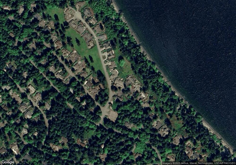
Map
Nearby Homes
- 20 Seaview Ct Unit 1
- 225 Belvedere Dr
- 23 Fairbreeze Dr
- 28 Buckhorn Place
- 110 Windship Dr
- 1673 Woodland Dr
- 190 Bluffs Dr Unit 1
- 0 Woodland Dr
- 999 Kala Lagoon Ct
- 593 Prospect Ave
- 174 E Island View Ave
- 0 S Duquesne Ave
- 32 S Duquesne Ave
- 0 N Andrew Ave
- 0 Prospect Ave Unit NWM2410763
- 0 Prospect Ave
- 1133 Parkridge Dr
- 52 E Moore St
- 371 E Price St
- 0 E Eugene St
- 11 Seaview Ct
- 11 Seaview Ct Unit 1
- 11 Seaview Ct Unit 2
- 110 Kala Heights Dr
- 0 xxx Kala Heights Dr
- 21 Seaview Ct Unit 1
- 21 Seaview Ct
- 21 Seaview Ct
- 0 20/2 Seaview Ct Unit 20-2
- 20 Seaview Ct
- 20 Seaview Ct
- 20 Seaview Ct Unit 2
- 40 Cedarview Dr
- 140 Kala Heights Dr
- 41 Seaview Ct
- 41 Seaview Ct
- 41 Seaview Ct
- 90 Cedarview Dr
- 150 Kala Heights Dr