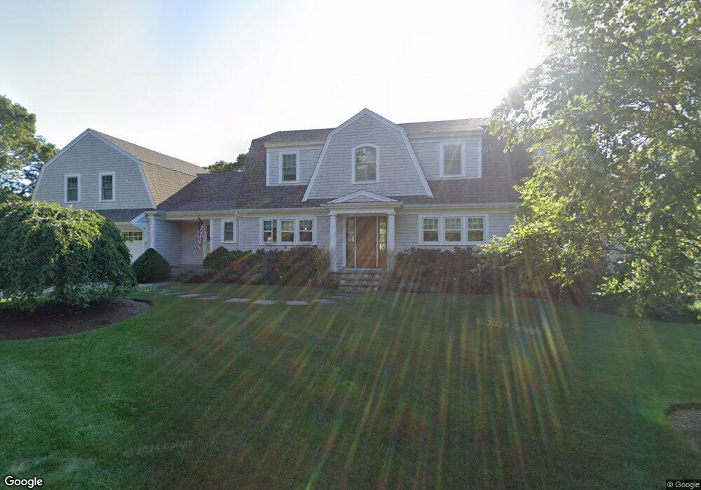
11 Sheep Pond Cir Brewster, MA 02631
Estimated Value: $1,356,000 - $1,940,706
4
Beds
3
Baths
2,082
Sq Ft
$844/Sq Ft
Est. Value
About This Home
This home is located at 11 Sheep Pond Cir, Brewster, MA 02631 and is currently estimated at $1,756,177, approximately $843 per square foot. 11 Sheep Pond Cir is a home located in Barnstable County with nearby schools including Stony Brook Elementary School, Eddy Elementary School, and Nauset Regional Middle School.
Ownership History
Date
Name
Owned For
Owner Type
Purchase Details
Closed on
May 14, 2025
Sold by
Kehoe Gerald J and Kehoe Christine A
Bought by
11 Sheep Pond Cir Rt and Kehoe
Current Estimated Value
Purchase Details
Closed on
Apr 23, 2010
Sold by
Kauffman-Goll Laurel L
Bought by
Kehoe Gerald J and Kehoe Christine A
Home Financials for this Owner
Home Financials are based on the most recent Mortgage that was taken out on this home.
Original Mortgage
$417,000
Interest Rate
5%
Mortgage Type
Purchase Money Mortgage
Create a Home Valuation Report for This Property
The Home Valuation Report is an in-depth analysis detailing your home's value as well as a comparison with similar homes in the area
Home Values in the Area
Average Home Value in this Area
Purchase History
We collect this data history from publicly available records. To have your information removed, we recommend requesting removal directly through your county’s website.
| Date | Buyer | Sale Price | Title Company |
|---|---|---|---|
| 11 Sheep Pond Cir Rt | -- | None Available | |
| 11 Sheep Pond Cir Rt | -- | None Available | |
| Kehoe Gerald J | $640,000 | -- | |
| Kehoe Gerald J | $640,000 | -- |
Source: Public Records
Mortgage History
We collect this data history from publicly available records. To have your information removed, we recommend requesting removal directly through your county’s website.
| Date | Status | Borrower | Loan Amount |
|---|---|---|---|
| Previous Owner | Kehoe Gerald J | $417,000 | |
| Previous Owner | Kehoe Gerald J | $50,000 |
Source: Public Records
Tax History
| Year | Tax Paid | Tax Assessment Tax Assessment Total Assessment is a certain percentage of the fair market value that is determined by local assessors to be the total taxable value of land and additions on the property. | Land | Improvement |
|---|---|---|---|---|
| 2025 | $10,846 | $1,576,500 | $357,200 | $1,219,300 |
| 2024 | $10,225 | $1,501,400 | $337,000 | $1,164,400 |
| 2023 | $9,473 | $1,355,200 | $300,800 | $1,054,400 |
| 2022 | $8,985 | $1,144,600 | $250,600 | $894,000 |
| 2021 | $9,381 | $1,093,400 | $217,900 | $875,500 |
| 2020 | $5,512 | $639,500 | $217,900 | $421,600 |
| 2019 | $28,867 | $657,700 | $209,500 | $448,200 |
| 2018 | $5,338 | $646,200 | $209,500 | $436,700 |
| 2017 | $5,129 | $611,300 | $209,500 | $401,800 |
| 2016 | $5,099 | $604,900 | $205,500 | $399,400 |
| 2015 | $4,886 | $591,500 | $201,400 | $390,100 |
Source: Public Records
Map
Nearby Homes
- 98 Sheep Pond Dr
- 161 Beechtree Dr
- 39 Spruce Run Dr
- 295 Greenland Pond Rd
- 58 Old Chatham Rd
- 8 Marlboro Rd
- 61 Sheffield Rd
- 337 Jonathans Way
- 72 Winstead Rd
- 157 Jonathans Way
- 1066 Millstone Rd
- 27 Billington Ln Unit 27
- 236 Freemans Way
- 235 Old Chatham Rd
- 210 Billington Ln Unit 210
- 737 Thousand Oaks Dr
- 106 Eaton Ln Unit 106E
- 147 Brook Trail Rd
- 23 Prince Charles Dr
- 13 Harwich Pines
- 8 Sheep Pond Cir
- 0 Tanglewood Rd Unit 20610993
- 0 Tanglewood Rd Unit 73223713
- 0 Tanglewood Rd Unit 22401354
- 0 Tanglewood Rd Unit 6023855
- 0 Tanglewood Rd Unit 2038096
- 0 Tanglewood Rd Unit 21309962
- 0 Tanglewood Rd Unit 22005907
- 0 Tanglewood Rd Unit 22300477
- 0 Tanglewood Rd
- 0 Sheep Pond Cir
- 38 Sheep Pond Cir
- 5 Tanglewood Rd
- 33 Sheep Pond Cir
- 20 Tanglewood Rd
- 776 Crowells Bog Rd
- 10 Tanglewood Rd
- 45 Sheep Pond Cir
- 50 Sheep Pond Cir
- 8 Carlton Cir
Your Personal Tour Guide
Ask me questions while you tour the home.