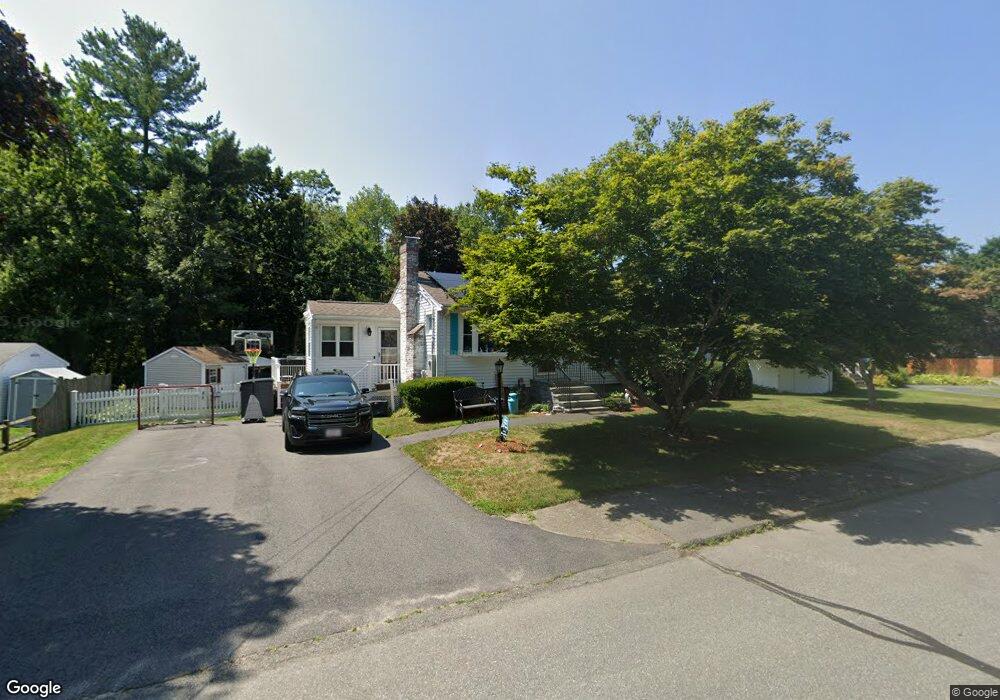
11 Shirley St Holbrook, MA 02343
Estimated Value: $490,000 - $538,000
3
Beds
1
Bath
880
Sq Ft
$581/Sq Ft
Est. Value
About This Home
This home is located at 11 Shirley St, Holbrook, MA 02343 and is currently estimated at $510,857, approximately $580 per square foot. 11 Shirley St is a home located in Norfolk County with nearby schools including John F. Kennedy Elementary School, Holbrook Middle High School, and Boston Higashi School.
Ownership History
Date
Name
Owned For
Owner Type
Purchase Details
Closed on
Sep 12, 2012
Sold by
Churchey Jason A and Clerkin Tracy L
Bought by
Churchey Tracy L and Churchey Jason A
Current Estimated Value
Home Financials for this Owner
Home Financials are based on the most recent Mortgage that was taken out on this home.
Original Mortgage
$210,000
Outstanding Balance
$145,311
Interest Rate
3.57%
Mortgage Type
New Conventional
Estimated Equity
$365,546
Purchase Details
Closed on
Aug 13, 2010
Sold by
Patts Catherine M and Askianakis Karen P
Bought by
Clerkin Tracy L and Churchey Jason A
Home Financials for this Owner
Home Financials are based on the most recent Mortgage that was taken out on this home.
Original Mortgage
$211,891
Interest Rate
4.63%
Mortgage Type
Purchase Money Mortgage
Create a Home Valuation Report for This Property
The Home Valuation Report is an in-depth analysis detailing your home's value as well as a comparison with similar homes in the area
Home Values in the Area
Average Home Value in this Area
Purchase History
| Date | Buyer | Sale Price | Title Company |
|---|---|---|---|
| Churchey Tracy L | -- | -- | |
| Clerkin Tracy L | $215,800 | -- |
Source: Public Records
Mortgage History
| Date | Status | Borrower | Loan Amount |
|---|---|---|---|
| Open | Churchey Tracy L | $210,000 | |
| Previous Owner | Clerkin Tracy L | $211,891 |
Source: Public Records
Tax History Compared to Growth
Tax History
| Year | Tax Paid | Tax Assessment Tax Assessment Total Assessment is a certain percentage of the fair market value that is determined by local assessors to be the total taxable value of land and additions on the property. | Land | Improvement |
|---|---|---|---|---|
| 2025 | $55 | $417,900 | $220,100 | $197,800 |
| 2024 | $5,199 | $386,800 | $200,000 | $186,800 |
| 2023 | $5,511 | $358,300 | $181,900 | $176,400 |
| 2022 | $5,099 | $309,200 | $158,100 | $151,100 |
| 2021 | $5,009 | $290,900 | $147,800 | $143,100 |
| 2020 | $5,217 | $284,000 | $147,800 | $136,200 |
| 2019 | $5,258 | $270,200 | $140,700 | $129,500 |
| 2018 | $5,275 | $255,200 | $130,300 | $124,900 |
| 2017 | $4,993 | $238,900 | $118,600 | $120,300 |
| 2016 | $4,503 | $229,300 | $111,800 | $117,500 |
| 2015 | $4,173 | $218,700 | $107,000 | $111,700 |
| 2014 | $3,998 | $213,000 | $107,000 | $106,000 |
Source: Public Records
Map
Nearby Homes
- 610 S Franklin St Unit D304
- 18 Laurel Park
- 34 Reeds Ln
- 41 Quincy St
- 35 Rindone St
- 375 S Franklin St Unit 1
- 13 Mayflower Rd
- 101 Quincy St
- 55 Border Rd
- 719 S Franklin St Unit L Block 1
- 719 S Franklin St Unit D Block 1
- 719 S Franklin St Unit C Block 1
- 28 Border Rd
- 12 Hawthorne Rd
- 19 Bradford St
- 45 King Rd
- 27 Arnold St
- 14 Dale Rd
- 14 Fern Rd
- 27 Ell Rd