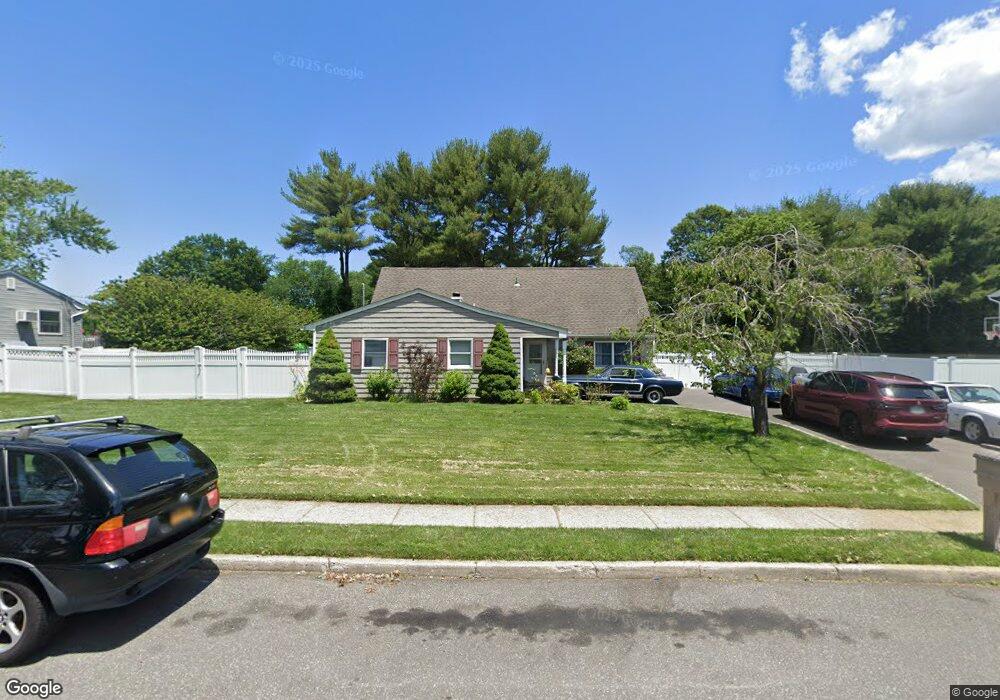
11 Skylark Dr Holtsville, NY 11742
Estimated Value: $569,673 - $706,000
--
Bed
--
Bath
--
Sq Ft
0.25
Acres
About This Home
This home is located at 11 Skylark Dr, Holtsville, NY 11742 and is currently estimated at $656,168. 11 Skylark Dr is a home located in Suffolk County with nearby schools including Tamarac Elementary School, Sachem High School East, and Long Island Baptist Academy.
Ownership History
Date
Name
Owned For
Owner Type
Purchase Details
Closed on
Feb 9, 2001
Sold by
Caiati Thomas and Caiati Kathleen
Bought by
Brignoni Jonathan and Brignoni Mary
Current Estimated Value
Home Financials for this Owner
Home Financials are based on the most recent Mortgage that was taken out on this home.
Original Mortgage
$206,755
Outstanding Balance
$74,236
Interest Rate
7%
Mortgage Type
FHA
Estimated Equity
$581,932
Purchase Details
Closed on
Aug 1, 1995
Sold by
Olwell Ruth Ann and Olwell James P
Bought by
Caiati Thomas and Caiati Kathleen
Create a Home Valuation Report for This Property
The Home Valuation Report is an in-depth analysis detailing your home's value as well as a comparison with similar homes in the area
Home Values in the Area
Average Home Value in this Area
Purchase History
| Date | Buyer | Sale Price | Title Company |
|---|---|---|---|
| Brignoni Jonathan | $210,000 | -- | |
| Caiati Thomas | $122,000 | Ticor Title Guarantee Compan |
Source: Public Records
Mortgage History
| Date | Status | Borrower | Loan Amount |
|---|---|---|---|
| Open | Brignoni Jonathan | $206,755 |
Source: Public Records
Tax History Compared to Growth
Tax History
| Year | Tax Paid | Tax Assessment Tax Assessment Total Assessment is a certain percentage of the fair market value that is determined by local assessors to be the total taxable value of land and additions on the property. | Land | Improvement |
|---|---|---|---|---|
| 2024 | $9,587 | $39,500 | $10,000 | $29,500 |
| 2023 | $9,587 | $39,500 | $10,000 | $29,500 |
| 2022 | $8,120 | $39,500 | $10,000 | $29,500 |
| 2021 | $8,120 | $39,500 | $10,000 | $29,500 |
| 2020 | $8,776 | $39,500 | $10,000 | $29,500 |
| 2019 | $8,776 | $0 | $0 | $0 |
| 2018 | -- | $39,500 | $10,000 | $29,500 |
| 2017 | $8,337 | $39,500 | $10,000 | $29,500 |
| 2016 | $7,962 | $39,500 | $10,000 | $29,500 |
| 2015 | -- | $39,500 | $10,000 | $29,500 |
| 2014 | -- | $39,500 | $10,000 | $29,500 |
Source: Public Records
Map
Nearby Homes
- 18 Lindsey Ct
- 146 Blue Point Rd W
- 89 Live Oak Dr
- 270 Singingwood Dr
- 23 Storm Dr
- 286 Storm Dr
- 3 Timber Ridge Dr
- 283 Storm Dr
- 46 Blue Point Rd E
- 89 Storm Dr
- 203 Springmeadow Dr Unit B
- 257 Storm Dr
- 64 Timber Ridge Dr
- 80 Burleigh Dr
- 119 Storm Dr
- 220 Storm Dr
- 219 Storm Dr
- 31 Fallen Leaf Rd
- 223 Springmeadow Dr Unit E
- 227 Springmeadow Dr Unit B
- 7 Skylark Dr
- 15 Skylark Dr
- 173 Spiral Rd
- 12 Skylark Dr
- 165 Spiral Rd
- 3 Skylark Dr
- 8 Skylark Dr
- 177 Spiral Rd
- 4 Skylark Dr
- 157 Spiral Rd
- 19 Skylark Dr
- 172 Spiral Rd
- 408 Greenbelt Pkwy
- 149 Spiral Rd
- 412 Greenbelt Pkwy Unit 412 A
- 412 Greenbelt Pkwy
- 166 Spiral Rd
- 416 Greenbelt Pkwy
- 236 Blue Point Rd W
- 176 Spiral Rd