Estimated Value: $868,000 - $1,390,995
--
Bed
--
Bath
4,599
Sq Ft
$246/Sq Ft
Est. Value
About This Home
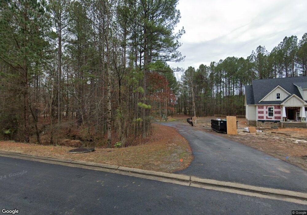
This home is located at 11 Snead Ave NW, Rome, GA 30165 and is currently estimated at $1,129,498, approximately $245 per square foot. 11 Snead Ave NW is a home with nearby schools including Rome High School.
Ownership History
Date
Name
Owned For
Owner Type
Purchase Details
Closed on
Oct 17, 2024
Sold by
Montague Edwin Clark
Bought by
Hoyt Wade C
Current Estimated Value
Purchase Details
Closed on
May 13, 2016
Sold by
M Wayne Robinson Builder D
Bought by
Miller Montague Edwin Clark and Miller Montague Margaret
Purchase Details
Closed on
Nov 24, 2014
Sold by
City Of Rome Georgia
Bought by
Robinson M Wayne
Purchase Details
Closed on
Aug 18, 2004
Sold by
Ctr Development Co Llc
Bought by
M Wayne Robinson Builder- Developer Inc
Purchase Details
Closed on
Apr 25, 2002
Bought by
Ctr Development Co Llc
Create a Home Valuation Report for This Property
The Home Valuation Report is an in-depth analysis detailing your home's value as well as a comparison with similar homes in the area
Home Values in the Area
Average Home Value in this Area
Purchase History
| Date | Buyer | Sale Price | Title Company |
|---|---|---|---|
| Hoyt Wade C | -- | -- | |
| Miller Montague Edwin Clark | $120,000 | -- | |
| Robinson M Wayne | -- | -- | |
| M Wayne Robinson Builder- Developer Inc | $125,000 | -- | |
| Ctr Development Co Llc | -- | -- |
Source: Public Records
Tax History Compared to Growth
Tax History
| Year | Tax Paid | Tax Assessment Tax Assessment Total Assessment is a certain percentage of the fair market value that is determined by local assessors to be the total taxable value of land and additions on the property. | Land | Improvement |
|---|---|---|---|---|
| 2024 | $13,701 | $478,629 | $77,942 | $400,687 |
| 2023 | $13,562 | $459,321 | $70,856 | $388,465 |
| 2022 | $12,388 | $388,432 | $57,727 | $330,705 |
| 2021 | $11,152 | $314,251 | $52,723 | $261,528 |
| 2020 | $10,826 | $290,672 | $45,846 | $244,826 |
| 2019 | $10,345 | $279,473 | $45,846 | $233,627 |
| 2018 | $9,754 | $263,514 | $43,664 | $219,850 |
| 2017 | $1,497 | $40,430 | $40,430 | $0 |
| 2016 | $579 | $15,600 | $15,600 | $0 |
| 2015 | $577 | $15,600 | $15,600 | $0 |
| 2014 | $577 | $16,440 | $16,440 | $0 |
Source: Public Records
Map
Nearby Homes
- 0 Snead Ave NW
- 0 Snead Ave NW Unit 7216008
- 0 Snead Ave NW Unit 8664524
- 0 Snead Ave NW Unit 7574126
- 0 Snead Ave NW Unit 7547475
- 0 Snead Ave NW Unit 7257275
- 0 Snead Ave NW Unit 3188360
- 0 Snead Ave NW Unit 8538171
- 0 Snead Ave NW Unit 9078710
- 0 Snead Ave NW Unit 8068406
- 0 Snead Ave NW Unit 8090171
- 0 Snead Ave NW Unit 8152017
- 0 Snead Ave NW Unit 8286676
- 0 Snead Ave NW Unit 8817614
- 0 Snead Ave NW Unit 8828626
- 0 Snead Ave NW Unit 8819287
- 0 Snead Ave NW Unit 8892993
- 0 Snead Ave NW Unit 3158199
- 0 Snead Ave NW Unit 3229576
- 0 Snead Ave NW Unit 7167557