11 Snowmass Rd Unit 535 Mt. Crested Butte, CO 81225
Estimated Value: $730,776 - $807,000
2
Beds
2
Baths
1,070
Sq Ft
$717/Sq Ft
Est. Value
About This Home
This home is located at 11 Snowmass Rd Unit 535, Mt. Crested Butte, CO 81225 and is currently estimated at $767,694, approximately $717 per square foot. 11 Snowmass Rd Unit 535 is a home located in Gunnison County with nearby schools including Gunnison Elementary School, Crested Butte Community School, and Gunnison Middle School.
Ownership History
Date
Name
Owned For
Owner Type
Purchase Details
Closed on
Oct 30, 2017
Sold by
Reed David K and Reed Teri J
Bought by
T And D Moore Family Limited Partnershi
Current Estimated Value
Purchase Details
Closed on
Sep 24, 2009
Sold by
535 Flaza Llc
Bought by
Reed David K and Reed Teri J
Home Financials for this Owner
Home Financials are based on the most recent Mortgage that was taken out on this home.
Original Mortgage
$222,400
Interest Rate
5.16%
Mortgage Type
New Conventional
Purchase Details
Closed on
Feb 15, 1999
Sold by
Holder Carolyn Rev Trust
Bought by
Milnor Walker I
Purchase Details
Closed on
Nov 1, 1996
Purchase Details
Closed on
Jul 3, 1995
Create a Home Valuation Report for This Property
The Home Valuation Report is an in-depth analysis detailing your home's value as well as a comparison with similar homes in the area
Home Values in the Area
Average Home Value in this Area
Purchase History
| Date | Buyer | Sale Price | Title Company |
|---|---|---|---|
| T And D Moore Family Limited Partnershi | $405,000 | Land Title | |
| Reed David K | $278,000 | None Available | |
| Milnor Walker I | $187,000 | -- | |
| -- | $132,000 | -- | |
| -- | $284,000 | -- |
Source: Public Records
Mortgage History
| Date | Status | Borrower | Loan Amount |
|---|---|---|---|
| Previous Owner | Reed David K | $222,400 |
Source: Public Records
Tax History Compared to Growth
Tax History
| Year | Tax Paid | Tax Assessment Tax Assessment Total Assessment is a certain percentage of the fair market value that is determined by local assessors to be the total taxable value of land and additions on the property. | Land | Improvement |
|---|---|---|---|---|
| 2024 | $4,075 | $56,560 | $0 | $56,560 |
| 2023 | $4,075 | $52,880 | $0 | $52,880 |
| 2022 | $3,215 | $36,800 | $0 | $36,800 |
| 2021 | $2,905 | $37,860 | $0 | $37,860 |
| 2020 | $2,512 | $31,890 | $0 | $31,890 |
| 2019 | $2,464 | $31,890 | $0 | $31,890 |
| 2018 | $1,385 | $17,140 | $0 | $17,140 |
| 2015 | $636 | $21,080 | $0 | $21,080 |
| 2014 | $636 | $16,030 | $0 | $16,030 |
Source: Public Records
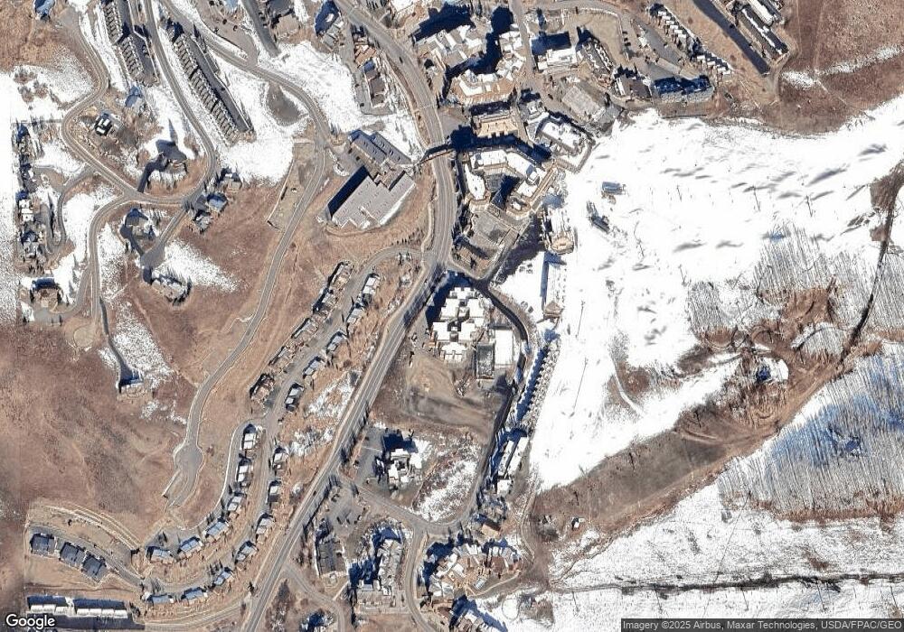
Map
Nearby Homes
- 11 Snowmass Rd Unit 242
- 12 Snowmass Rd Unit 414
- 9 Hunter Hill Rd Unit 301
- 9 Hunter Hill Rd Unit 208
- 9 Hunter Hill Rd Unit 203
- 14 Hunter Hill Rd Unit 203
- 14 Hunter Hill Rd Unit A405
- 14 Hunter Hill Rd Unit 302
- 14 Hunter Hill Rd Unit C202
- 14 Hunter Hill Rd Unit 205
- 14 Hunter Hill Rd Unit A-204
- 9 Hunter Hill Rd Unit 203
- 11 Hunter Hill Rd Unit 506
- 11 Hunter Hill Rd Unit 307
- 11 Hunter Hill Rd Unit 507
- 11 Hunter Hill Rd Unit 406
- 620 Gothic Rd Unit 203
- 620 Gothic Rd Unit 517
- 620 Gothic Rd Unit 419
- 620 Gothic Rd Unit 403
- 11 Snowmass Rd Unit 438
- 11 Snowmass Rd Unit 537
- 11 Snowmass Rd Unit 136
- 11 Snowmass Rd Unit 538
- 11 Snowmass Rd Unit 441
- 11 Snowmass Rd Unit 637
- 11 Snowmass Rd Unit 440
- 11 Snowmass Rd Unit 236
- 11 Snowmass Rd Unit 331
- 11 Snowmass Rd Unit 539
- 11 Snowmass Rd Unit 239
- 11 Snowmass Rd Unit 532
- 11 Snowmass Rd Unit 540
- 11 Snowmass Rd Unit 339
- 11 Snowmass Rd Unit 340
- 11 Snowmass Rd
- 11 Snowmass Rd Unit 431
- 11 Snowmass Rd Unit 31
- 11 Snowmass Rd Unit 332
- 11 Snowmass Rd Unit 432