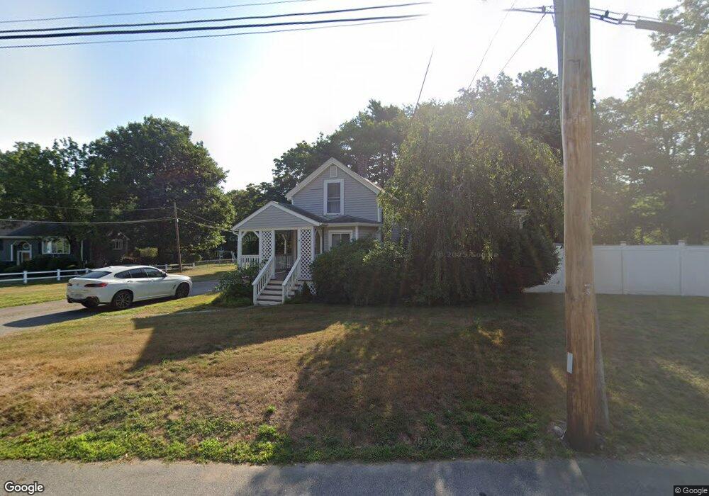
11 Spring Ln Holbrook, MA 02343
Estimated Value: $530,000 - $571,000
2
Beds
1
Bath
888
Sq Ft
$610/Sq Ft
Est. Value
About This Home
This home is located at 11 Spring Ln, Holbrook, MA 02343 and is currently estimated at $542,097, approximately $610 per square foot. 11 Spring Ln is a home located in Norfolk County with nearby schools including John F. Kennedy Elementary School and Holbrook Middle High School.
Ownership History
Date
Name
Owned For
Owner Type
Purchase Details
Closed on
Oct 27, 2003
Sold by
Archdeacon Janice S
Bought by
Patterson David B
Current Estimated Value
Home Financials for this Owner
Home Financials are based on the most recent Mortgage that was taken out on this home.
Original Mortgage
$282,170
Outstanding Balance
$132,177
Interest Rate
6.15%
Mortgage Type
Purchase Money Mortgage
Estimated Equity
$409,920
Create a Home Valuation Report for This Property
The Home Valuation Report is an in-depth analysis detailing your home's value as well as a comparison with similar homes in the area
Home Values in the Area
Average Home Value in this Area
Purchase History
| Date | Buyer | Sale Price | Title Company |
|---|---|---|---|
| Patterson David B | $302,500 | -- |
Source: Public Records
Mortgage History
| Date | Status | Borrower | Loan Amount |
|---|---|---|---|
| Open | Patterson David B | $282,170 |
Source: Public Records
Tax History
| Year | Tax Paid | Tax Assessment Tax Assessment Total Assessment is a certain percentage of the fair market value that is determined by local assessors to be the total taxable value of land and additions on the property. | Land | Improvement |
|---|---|---|---|---|
| 2025 | $62 | $474,000 | $262,400 | $211,600 |
| 2024 | $5,838 | $434,400 | $238,500 | $195,900 |
| 2023 | $6,186 | $402,200 | $217,000 | $185,200 |
| 2022 | $5,813 | $352,500 | $188,800 | $163,700 |
| 2021 | $5,695 | $330,700 | $176,600 | $154,100 |
| 2020 | $5,788 | $315,100 | $167,000 | $148,100 |
| 2019 | $5,819 | $299,000 | $154,500 | $144,500 |
| 2018 | $5,647 | $273,200 | $133,400 | $139,800 |
| 2017 | $5,187 | $248,200 | $133,400 | $114,800 |
| 2016 | $4,433 | $225,700 | $120,200 | $105,500 |
| 2015 | $4,137 | $216,800 | $115,400 | $101,400 |
| 2014 | $4,069 | $216,800 | $115,400 | $101,400 |
Source: Public Records
Map
Nearby Homes
- 68 Spring St
- 14 Leonard Ln
- 12 Hamilton Way
- 193 E Spring St
- 191 E Spring St
- 192 E Spring St
- 1004 S Franklin St
- 68 Robbins St
- 27 Valley Rd
- 2 Glendower St
- 660 S Franklin St
- 719 S Franklin St Unit C Block 1
- 46 Gill St
- 12 W High St
- 52 Quincy St
- 226 W Main St
- 45 Braintree Ave
- 3 Page St
- 747 S Main St
- 37 Reeds Ln
Your Personal Tour Guide
Ask me questions while you tour the home.