11 Stafford Dr Campbelltown, PA 17010
Estimated Value: $502,856
2
Beds
3
Baths
1,856
Sq Ft
$271/Sq Ft
Est. Value
About This Home
This home is located at 11 Stafford Dr, Campbelltown, PA 17010 and is currently estimated at $502,856, approximately $270 per square foot. 11 Stafford Dr is a home located in Lebanon County with nearby schools including Palmyra Area Senior High School and Milton Hershey School.
Ownership History
Date
Name
Owned For
Owner Type
Purchase Details
Closed on
May 23, 2025
Sold by
Brant Tanya M
Bought by
Cartal Adrien and Cartal Victoria Grace
Current Estimated Value
Home Financials for this Owner
Home Financials are based on the most recent Mortgage that was taken out on this home.
Original Mortgage
$420,750
Outstanding Balance
$420,750
Interest Rate
6.83%
Mortgage Type
New Conventional
Estimated Equity
$82,106
Purchase Details
Closed on
Apr 18, 2018
Sold by
Strano Nicholas F and Strano Susan L
Bought by
Brant Tanaya M
Home Financials for this Owner
Home Financials are based on the most recent Mortgage that was taken out on this home.
Original Mortgage
$274,900
Interest Rate
4.44%
Mortgage Type
VA
Create a Home Valuation Report for This Property
The Home Valuation Report is an in-depth analysis detailing your home's value as well as a comparison with similar homes in the area
Home Values in the Area
Average Home Value in this Area
Purchase History
| Date | Buyer | Sale Price | Title Company |
|---|---|---|---|
| Cartal Adrien | $495,000 | None Listed On Document | |
| Brant Tanaya M | $274,900 | None Available |
Source: Public Records
Mortgage History
| Date | Status | Borrower | Loan Amount |
|---|---|---|---|
| Open | Cartal Adrien | $420,750 | |
| Previous Owner | Brant Tanya M | $335,000 | |
| Previous Owner | Brant Tanya W | $275,711 | |
| Previous Owner | Brant Tanaya M | $274,900 | |
| Previous Owner | Strano Nicholas F | $80,000 |
Source: Public Records
Tax History Compared to Growth
Tax History
| Year | Tax Paid | Tax Assessment Tax Assessment Total Assessment is a certain percentage of the fair market value that is determined by local assessors to be the total taxable value of land and additions on the property. | Land | Improvement |
|---|---|---|---|---|
| 2025 | $5,070 | $210,200 | $50,000 | $160,200 |
| 2024 | -- | $210,200 | $50,000 | $160,200 |
| 2023 | $4,692 | $210,200 | $50,000 | $160,200 |
| 2022 | $4,569 | $210,200 | $50,000 | $160,200 |
| 2021 | $4,311 | $210,200 | $50,000 | $160,200 |
| 2020 | $4,252 | $210,200 | $50,000 | $160,200 |
| 2019 | $4,122 | $210,200 | $50,000 | $160,200 |
| 2018 | $4,083 | $210,200 | $50,000 | $160,200 |
| 2017 | $1,103 | $210,200 | $50,000 | $160,200 |
| 2016 | $3,814 | $210,200 | $50,000 | $160,200 |
| 2015 | -- | $210,200 | $50,000 | $160,200 |
| 2014 | -- | $210,200 | $50,000 | $160,200 |
Source: Public Records
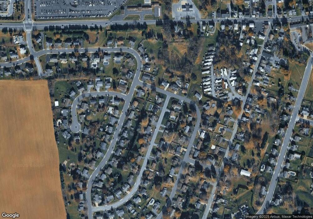
Map
Nearby Homes
- 52 Springhaven Ct Unit 235
- 8 Springhaven Ct Unit 242
- 4 Springhaven Ct Unit 241
- 90 S Village Cir Unit 240
- 94 S Village Cir Unit 239
- 82 S Village Cir Unit 238
- 503 Barrington Ct
- 1931 S Forge Rd
- 1953 Wexford Rd
- 1105 Cambridge Ct
- 11 Wickerberry Ln
- 2115 Wexford Rd
- 542 S Lingle Ave
- 1003 Cambridge Ct
- 2350 Felty Mill Rd
- 25 Hetrick Ct
- 324 W Orchard Dr
- 1325 Mill Pond Way
- 1160 Park Dr
- 820 W Maple St