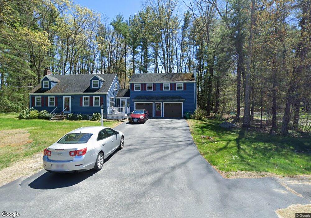
11 Stag Dr Billerica, MA 01821
Estimated Value: $746,670 - $972,000
4
Beds
3
Baths
2,216
Sq Ft
$370/Sq Ft
Est. Value
About This Home
This home is located at 11 Stag Dr, Billerica, MA 01821 and is currently estimated at $819,168, approximately $369 per square foot. 11 Stag Dr is a home located in Middlesex County with nearby schools including Billerica Memorial High School.
Ownership History
Date
Name
Owned For
Owner Type
Purchase Details
Closed on
Jul 12, 2006
Sold by
Thompson Betty J and Thompson Russel P
Bought by
Covino James F and Covino Judith A
Current Estimated Value
Home Financials for this Owner
Home Financials are based on the most recent Mortgage that was taken out on this home.
Original Mortgage
$352,000
Interest Rate
6.71%
Mortgage Type
Purchase Money Mortgage
Purchase Details
Closed on
May 28, 1997
Sold by
Shea Elaine D
Bought by
Thompson Russell P and Thompson Betty J
Home Financials for this Owner
Home Financials are based on the most recent Mortgage that was taken out on this home.
Original Mortgage
$86,000
Interest Rate
8.09%
Mortgage Type
Purchase Money Mortgage
Create a Home Valuation Report for This Property
The Home Valuation Report is an in-depth analysis detailing your home's value as well as a comparison with similar homes in the area
Home Values in the Area
Average Home Value in this Area
Purchase History
| Date | Buyer | Sale Price | Title Company |
|---|---|---|---|
| Covino James F | $440,000 | -- | |
| Thompson Russell P | $234,000 | -- |
Source: Public Records
Mortgage History
| Date | Status | Borrower | Loan Amount |
|---|---|---|---|
| Open | Thompson Russell P | $330,969 | |
| Closed | Covino James F | $352,000 | |
| Previous Owner | Thompson Russell P | $85,000 | |
| Previous Owner | Thompson Russell P | $86,000 |
Source: Public Records
Tax History Compared to Growth
Tax History
| Year | Tax Paid | Tax Assessment Tax Assessment Total Assessment is a certain percentage of the fair market value that is determined by local assessors to be the total taxable value of land and additions on the property. | Land | Improvement |
|---|---|---|---|---|
| 2025 | $8,044 | $707,500 | $329,900 | $377,600 |
| 2024 | $7,602 | $673,300 | $319,400 | $353,900 |
| 2023 | $7,629 | $642,700 | $290,700 | $352,000 |
| 2022 | $6,852 | $542,100 | $248,400 | $293,700 |
| 2021 | $6,507 | $500,500 | $218,100 | $282,400 |
| 2020 | $6,391 | $492,000 | $209,600 | $282,400 |
| 2019 | $6,189 | $459,100 | $209,600 | $249,500 |
| 2018 | $5,975 | $421,100 | $186,300 | $234,800 |
| 2017 | $5,660 | $401,700 | $184,400 | $217,300 |
| 2016 | $5,619 | $397,400 | $180,100 | $217,300 |
| 2015 | $5,504 | $392,000 | $174,700 | $217,300 |
| 2014 | $5,547 | $388,200 | $169,200 | $219,000 |
Source: Public Records
Map
Nearby Homes
- 43 Outlook Rd
- 6 Edgehill Rd
- 63 Outlook Rd
- 12 Springs Rd
- 4 Dove Ln
- 7 Alder Way Unit 159
- 7 Stonegate Ln Unit 134
- 483 Middlesex Turnpike
- 463 Middlesex Turnpike
- 454 Middlesex Turnpike
- 481 Middlesex Turnpike
- 332 North Rd
- 8 Water St
- 5 Chestnut Ln Unit 120
- 32 Marshall St
- 8 Swan Ln
- 14 Elsie Ave
- 10 Avondale Ave
- 282 Brook St
- 383 E Riding Dr