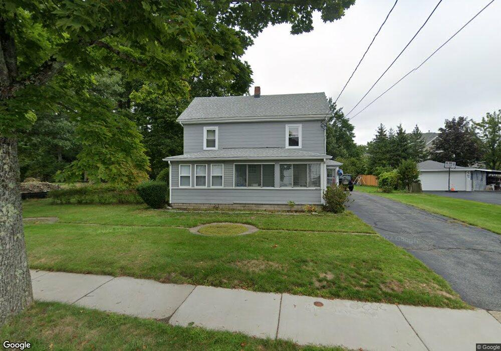
11 Staniford St Auburndale, MA 02466
Auburndale NeighborhoodEstimated Value: $1,713,000 - $2,149,000
4
Beds
2
Baths
2,512
Sq Ft
$732/Sq Ft
Est. Value
About This Home
This home is located at 11 Staniford St, Auburndale, MA 02466 and is currently estimated at $1,839,950, approximately $732 per square foot. 11 Staniford St is a home located in Middlesex County with nearby schools including C.C. Burr, F.A. Day Middle School, and Newton North High School.
Ownership History
Date
Name
Owned For
Owner Type
Purchase Details
Closed on
May 11, 2018
Sold by
Caruso Giovanni
Bought by
Giovanni Caruso Irt
Current Estimated Value
Purchase Details
Closed on
Jan 1, 1986
Bought by
Caruso Giovanni and Caruso Gilda
Create a Home Valuation Report for This Property
The Home Valuation Report is an in-depth analysis detailing your home's value as well as a comparison with similar homes in the area
Home Values in the Area
Average Home Value in this Area
Purchase History
| Date | Buyer | Sale Price | Title Company |
|---|---|---|---|
| Giovanni Caruso Irt | -- | -- | |
| Caruso Giovanni | $220,000 | -- |
Source: Public Records
Mortgage History
| Date | Status | Borrower | Loan Amount |
|---|---|---|---|
| Previous Owner | Caruso Giovanni | $144,000 | |
| Previous Owner | Caruso Giovanni | $153,100 |
Source: Public Records
Tax History Compared to Growth
Tax History
| Year | Tax Paid | Tax Assessment Tax Assessment Total Assessment is a certain percentage of the fair market value that is determined by local assessors to be the total taxable value of land and additions on the property. | Land | Improvement |
|---|---|---|---|---|
| 2025 | $14,970 | $1,527,500 | $1,287,600 | $239,900 |
| 2024 | $14,474 | $1,483,000 | $1,250,100 | $232,900 |
| 2023 | $13,638 | $1,339,700 | $1,000,400 | $339,300 |
| 2022 | $13,050 | $1,240,500 | $926,300 | $314,200 |
| 2021 | $12,592 | $1,170,300 | $873,900 | $296,400 |
| 2020 | $12,218 | $1,170,300 | $873,900 | $296,400 |
| 2019 | $11,873 | $1,136,200 | $848,400 | $287,800 |
| 2018 | $10,988 | $1,015,500 | $743,500 | $272,000 |
| 2017 | $10,653 | $958,000 | $701,400 | $256,600 |
| 2016 | $10,189 | $895,300 | $655,500 | $239,800 |
| 2015 | $9,714 | $836,700 | $612,600 | $224,100 |
Source: Public Records
Map
Nearby Homes
- 49 Staniford St
- 160 Pine St Unit 12
- 101-103 Lexington St
- 62-64 Rowe St Unit B
- 265-267 River St Unit 267
- 265-267 River St Unit 265
- 90 Auburndale Ave
- 283 Melrose St
- 17 Crescent St
- 226 Auburn St Unit 226
- 2202 Commonwealth Ave Unit 2
- 2202 Commonwealth Ave Unit 1
- 10 Crescent St Unit 1
- 10 Crescent St Unit 2
- 224 Auburn St Unit 224
- 224 Auburn St Unit A
- 13 Weir St
- 11 Derby St
- 56 Dearborn St
- 44 Westland Ave
- 19 Staniford St
- 3 Staniford St
- 14 Staniford St
- 227 Lexington St
- 6 Staniford St
- 225 Lexington St
- 20 Staniford St
- 221 Lexington St
- 221 Lexington St Unit 221
- 27 Staniford St
- 24 Staniford St
- 251 Lexington St
- 244 Lexington St
- 244 Lexington St
- 244 Lexington St Unit 33
- 244 Lexington St Unit 15
- 223 Lexington St
- 6 Freeman St
- 0 Lexington St
- 236 Lexington St