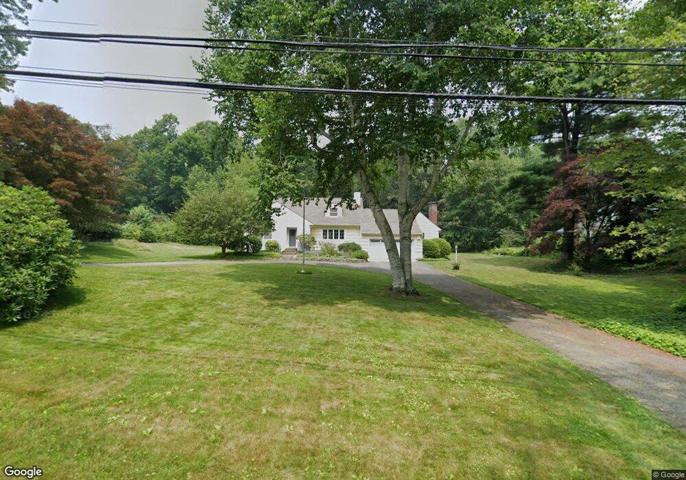
11 Stanton Rd Darien, CT 06820
Estimated Value: $2,070,000 - $2,347,000
4
Beds
3
Baths
2,675
Sq Ft
$817/Sq Ft
Est. Value
About This Home
This home is located at 11 Stanton Rd, Darien, CT 06820 and is currently estimated at $2,185,956, approximately $817 per square foot. 11 Stanton Rd is a home located in Fairfield County with nearby schools including Hindley Elementary School, Middlesex Middle School, and Darien High School.
Ownership History
Date
Name
Owned For
Owner Type
Purchase Details
Closed on
Feb 14, 2011
Sold by
Lindberg Robert A and Lindberg Pamela V
Bought by
Lindberg Robert A and Lindberg Pamela V
Current Estimated Value
Purchase Details
Closed on
Apr 30, 1991
Sold by
Johnson Lorraine
Bought by
Lindberg Robert and Lindberg Pamela
Create a Home Valuation Report for This Property
The Home Valuation Report is an in-depth analysis detailing your home's value as well as a comparison with similar homes in the area
Home Values in the Area
Average Home Value in this Area
Purchase History
| Date | Buyer | Sale Price | Title Company |
|---|---|---|---|
| Lindberg Robert A | -- | -- | |
| Lindberg Robert | $220,000 | -- | |
| Lindberg Robert | $220,000 | -- |
Source: Public Records
Mortgage History
| Date | Status | Borrower | Loan Amount |
|---|---|---|---|
| Previous Owner | Lindberg Robert | $304,900 | |
| Previous Owner | Lindberg Robert | $50,000 |
Source: Public Records
Tax History Compared to Growth
Tax History
| Year | Tax Paid | Tax Assessment Tax Assessment Total Assessment is a certain percentage of the fair market value that is determined by local assessors to be the total taxable value of land and additions on the property. | Land | Improvement |
|---|---|---|---|---|
| 2025 | $16,989 | $1,097,460 | $893,410 | $204,050 |
| 2024 | $16,122 | $1,097,460 | $893,410 | $204,050 |
| 2023 | $14,481 | $822,290 | $638,120 | $184,170 |
| 2022 | $14,168 | $822,290 | $638,120 | $184,170 |
| 2021 | $443 | $822,290 | $638,120 | $184,170 |
| 2020 | $13,453 | $822,290 | $638,120 | $184,170 |
| 2019 | $13,543 | $822,290 | $638,120 | $184,170 |
| 2018 | $428 | $897,960 | $716,310 | $181,650 |
| 2017 | $314 | $897,960 | $716,310 | $181,650 |
| 2016 | $14,161 | $897,960 | $716,310 | $181,650 |
| 2015 | $13,784 | $897,960 | $716,310 | $181,650 |
| 2014 | $13,478 | $897,960 | $716,310 | $181,650 |
Source: Public Records
Map
Nearby Homes
- 47 Hollow Tree Ridge Rd
- 19 Anthony Ln
- 77 Maple St
- 166 Hollow Tree Ridge Rd
- 333 West Ave Unit 3
- 19 William St
- 16 Houston Terrace Unit 7
- 90 Courtland Hill St
- 53 Noroton Ave
- 105 Houston Terrace
- 151 Courtland Ave Unit 6
- 151 Courtland Ave Unit 4
- 39 Noroton Ave
- 98 Holmes Ave
- 59 Courtland Ave Unit 3O
- 59 Courtland Ave Unit 2T
- 120 Webb Ave
- 26 Courtland Ave Unit 1
- 74 Standish Rd Unit 3
- 30 Lenox Ave
- 7 Stanton Rd
- 82 Stanton Rd
- 25 Miles Rd
- 78 Stanton Rd
- 68 Hollow Tree Ridge Rd
- 21 Miles Rd
- 70 Hollow Tree Ridge Rd
- 3 Stanton Rd
- 72 Hollow Tree Ridge Rd
- 19 Miles Rd
- 12 Stanton Rd
- 8 Stanton Rd
- 27 Miles Rd
- 17 Miles Rd
- 74 Hollow Tree Ridge Rd
- 74 Stanton Rd
- 28 Miles Rd
- 29 Miles Rd
- 76 Hollow Tree Ridge Rd
- 4 Stanton Rd