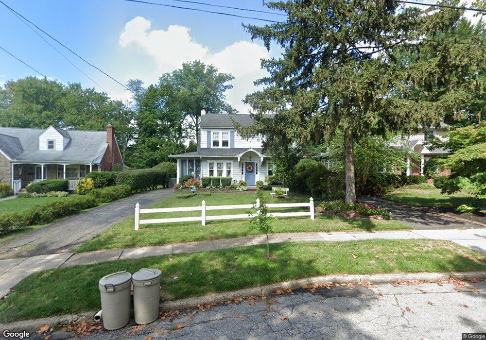
11 Station Ave Haddon Heights, NJ 08035
Estimated Value: $567,462 - $701,000
Studio
--
Bath
1,542
Sq Ft
$424/Sq Ft
Est. Value
About This Home
This home is located at 11 Station Ave, Haddon Heights, NJ 08035 and is currently estimated at $653,616, approximately $423 per square foot. 11 Station Ave is a home located in Camden County with nearby schools including Haddon Heights Jr Sr High School, Saint Rose of Lima Catholic School, and Brookfield Elementary School.
Ownership History
Date
Name
Owned For
Owner Type
Purchase Details
Closed on
Dec 14, 1998
Sold by
Kane Robert F
Bought by
Mignogna Michael and Mignogna Lisa A
Current Estimated Value
Home Financials for this Owner
Home Financials are based on the most recent Mortgage that was taken out on this home.
Original Mortgage
$140,000
Interest Rate
6.74%
Create a Home Valuation Report for This Property
The Home Valuation Report is an in-depth analysis detailing your home's value as well as a comparison with similar homes in the area
Home Values in the Area
Average Home Value in this Area
Purchase History
| Date | Buyer | Sale Price | Title Company |
|---|---|---|---|
| Mignogna Michael | $200,000 | -- |
Source: Public Records
Mortgage History
| Date | Status | Borrower | Loan Amount |
|---|---|---|---|
| Previous Owner | Mignogna Michael | $140,000 |
Source: Public Records
Tax History
| Year | Tax Paid | Tax Assessment Tax Assessment Total Assessment is a certain percentage of the fair market value that is determined by local assessors to be the total taxable value of land and additions on the property. | Land | Improvement |
|---|---|---|---|---|
| 2025 | $12,327 | $353,000 | $198,000 | $155,000 |
| 2024 | $12,016 | $353,000 | $198,000 | $155,000 |
| 2023 | $12,016 | $353,000 | $198,000 | $155,000 |
| 2022 | $11,984 | $353,000 | $198,000 | $155,000 |
| 2021 | $11,949 | $353,000 | $198,000 | $155,000 |
| 2020 | $11,492 | $345,100 | $198,000 | $147,100 |
| 2019 | $11,299 | $345,100 | $198,000 | $147,100 |
| 2018 | $11,119 | $345,100 | $198,000 | $147,100 |
| 2017 | $10,826 | $345,100 | $198,000 | $147,100 |
| 2016 | $10,657 | $345,100 | $198,000 | $147,100 |
| 2015 | $10,436 | $345,100 | $198,000 | $147,100 |
| 2014 | $10,105 | $345,100 | $198,000 | $147,100 |
Source: Public Records
Map
Nearby Homes
- 233 E Kings Hwy
- 38 Birchall Dr
- 370 Station Ave
- 100 3rd Ave
- 302 3rd Ave
- 344 Knolltop Ln
- 656 E Greenman Rd
- 263 Hopkins Rd
- 103 White Horse Pike
- 741 W Redman Ave
- 425 White Horse Pike
- 112 W Atlantic Ave
- 110 Avondale Ave
- 108 Avondale Ave
- 237 7th Ave
- 133 Lafayette Rd
- 102 Cherry St
- 425 Peltoma Rd
- 139 Treaty Elm Ln
- 127 W Cottage Ave
- 9 Station Ave
- 13 Station Ave
- 7 Station Ave
- 5 Station Ave
- 12 Loucroft Ave
- 8 Loucroft Ave
- 10 Station Ave
- 15 Station Ave
- 28 Lippincott Ave
- 4 Station Ave
- 1 Station Ave
- 26 Lippincott Ave
- 14 Station Ave
- 17 Station Ave
- 203 Crest Ave
- 24 Lippincott Ave
- 207 Crest Ave
- 16 Station Ave
- 22 Lippincott Ave
- 204 Crest Ave
Your Personal Tour Guide
Ask me questions while you tour the home.