Estimated Value: $129,000 - $153,536
3
Beds
1
Bath
1,085
Sq Ft
$134/Sq Ft
Est. Value
About This Home
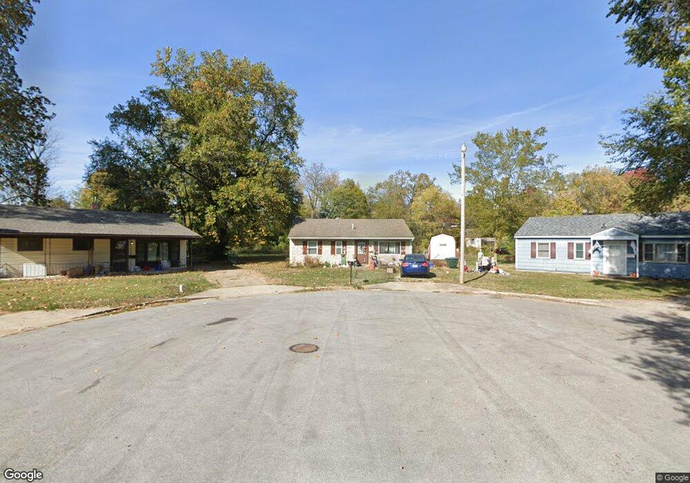
This home is located at 11 Stephendale Ct, Rolla, MO 65401 and is currently estimated at $145,179, approximately $133 per square foot. 11 Stephendale Ct is a home located in Phelps County with nearby schools including Rolla Junior High School, Rolla Senior High School, and Immanuel Lutheran School.
Ownership History
Date
Name
Owned For
Owner Type
Purchase Details
Closed on
Mar 28, 2014
Current Estimated Value
Purchase Details
Closed on
Apr 3, 2013
Purchase Details
Closed on
May 15, 2008
Purchase Details
Closed on
Mar 6, 2006
Purchase Details
Closed on
Mar 24, 2005
Purchase Details
Closed on
Dec 14, 1994
Purchase Details
Closed on
Jun 11, 1986
Purchase Details
Closed on
Feb 4, 1983
Create a Home Valuation Report for This Property
The Home Valuation Report is an in-depth analysis detailing your home's value as well as a comparison with similar homes in the area
Home Values in the Area
Average Home Value in this Area
Purchase History
| Date | Buyer | Sale Price | Title Company |
|---|---|---|---|
| -- | -- | -- | |
| -- | -- | -- | |
| -- | -- | -- | |
| -- | -- | -- | |
| -- | -- | -- | |
| -- | -- | -- | |
| -- | -- | -- | |
| -- | -- | -- |
Source: Public Records
Tax History
| Year | Tax Paid | Tax Assessment Tax Assessment Total Assessment is a certain percentage of the fair market value that is determined by local assessors to be the total taxable value of land and additions on the property. | Land | Improvement |
|---|---|---|---|---|
| 2025 | $624 | $11,950 | $2,310 | $9,640 |
| 2024 | $589 | $10,300 | $2,190 | $8,110 |
| 2023 | $557 | $10,300 | $2,190 | $8,110 |
| 2022 | $473 | $10,300 | $2,190 | $8,110 |
| 2021 | $476 | $10,300 | $2,190 | $8,110 |
| 2020 | $438 | $9,240 | $2,190 | $7,050 |
| 2019 | $656 | $9,240 | $2,190 | $7,050 |
| 2018 | $432 | $9,240 | $2,190 | $7,050 |
| 2017 | $431 | $9,240 | $2,190 | $7,050 |
| 2016 | $417 | $9,240 | $2,190 | $7,050 |
| 2015 | -- | $9,240 | $2,190 | $7,050 |
| 2014 | -- | $9,240 | $2,190 | $7,050 |
| 2013 | -- | $7,220 | $0 | $0 |
Source: Public Records
Map
Nearby Homes
- 17400 Highway 63
- 104 E 3rd St
- 400 N Oak St
- 401 Fort Wyman Rd
- 403 Fort Wyman Rd
- 600 S Rolla St
- 211 S Adrian Ave
- 100 N Walnut St
- 5 Rolla Gardens Dr
- 35 Green Acres Dr
- 303 E 7th St
- 56 Rolla Gardens Dr
- 403 S Adrian Ave
- 63 Rose Ct
- 1000 N Pine St
- 708 E State Route 72
- 922 Oak Lane Dr Unit 926
- 0.25 +/- ac N Olive St
- 611 Penny Ln
- 213 Sunny Dr
- 12 Stephendale Ct
- 10 Stephendale Ct
- 13 Stephendale Ct
- 9 Stephendale Ct
- 14 Stephendale Ct
- 104 S Main St
- 403 W 1st St
- 8 Stephendale Ct
- 15 Stephendale Ct
- 105 S Main St
- 401 W 1st St
- 103 S Main St
- 101 Black St
- 17 Stephendale Ct
- 7 Stephendale Ct
- 103 S State St
- 18 Stephendale Ct
- 307 W 1st St
- 101 S State St
- 101 S State St
Your Personal Tour Guide
Ask me questions while you tour the home.