11 Stone Crest Dr Rock Spring, GA 30739
Rock Spring NeighborhoodEstimated Value: $326,009 - $408,000
3
Beds
2
Baths
1,755
Sq Ft
$203/Sq Ft
Est. Value
About This Home
This home is located at 11 Stone Crest Dr, Rock Spring, GA 30739 and is currently estimated at $356,502, approximately $203 per square foot. 11 Stone Crest Dr is a home located in Walker County with nearby schools including Rock Spring Elementary School, Lafayette High School, and Alice M Daley Adventist School.
Ownership History
Date
Name
Owned For
Owner Type
Purchase Details
Closed on
Apr 29, 2024
Sold by
Wiegand Gale
Bought by
Steinke Lucinda D and Steinke Richard E
Current Estimated Value
Home Financials for this Owner
Home Financials are based on the most recent Mortgage that was taken out on this home.
Original Mortgage
$259,920
Outstanding Balance
$256,234
Interest Rate
6.82%
Mortgage Type
New Conventional
Estimated Equity
$100,268
Purchase Details
Closed on
Feb 1, 2006
Sold by
Not Provided
Bought by
Wiegand Robert A and Wiegand Gale
Home Financials for this Owner
Home Financials are based on the most recent Mortgage that was taken out on this home.
Original Mortgage
$127,200
Interest Rate
9.8%
Mortgage Type
New Conventional
Purchase Details
Closed on
Sep 9, 2003
Bought by
Tarvin Road Llc A Georgia
Create a Home Valuation Report for This Property
The Home Valuation Report is an in-depth analysis detailing your home's value as well as a comparison with similar homes in the area
Home Values in the Area
Average Home Value in this Area
Purchase History
| Date | Buyer | Sale Price | Title Company |
|---|---|---|---|
| Steinke Lucinda D | $324,900 | -- | |
| Wiegand Robert A | $159,000 | -- | |
| Tarvin Road Llc A Georgia | $83,800 | -- |
Source: Public Records
Mortgage History
| Date | Status | Borrower | Loan Amount |
|---|---|---|---|
| Open | Steinke Lucinda D | $259,920 | |
| Previous Owner | Wiegand Robert A | $127,200 |
Source: Public Records
Tax History Compared to Growth
Tax History
| Year | Tax Paid | Tax Assessment Tax Assessment Total Assessment is a certain percentage of the fair market value that is determined by local assessors to be the total taxable value of land and additions on the property. | Land | Improvement |
|---|---|---|---|---|
| 2024 | $1,041 | $112,818 | $14,000 | $98,818 |
| 2023 | $966 | $107,778 | $14,000 | $93,778 |
| 2022 | $695 | $91,510 | $10,400 | $81,110 |
| 2021 | $1,906 | $75,248 | $10,400 | $64,848 |
| 2020 | $1,620 | $61,952 | $10,400 | $51,552 |
| 2019 | $1,617 | $60,692 | $10,400 | $50,292 |
| 2018 | $1,606 | $60,692 | $10,400 | $50,292 |
| 2017 | $1,683 | $58,100 | $10,400 | $47,700 |
| 2016 | $1,552 | $58,100 | $10,400 | $47,700 |
| 2015 | $1,925 | $68,928 | $10,400 | $58,528 |
| 2014 | $1,804 | $68,928 | $10,400 | $58,528 |
| 2013 | -- | $68,927 | $10,400 | $58,527 |
Source: Public Records
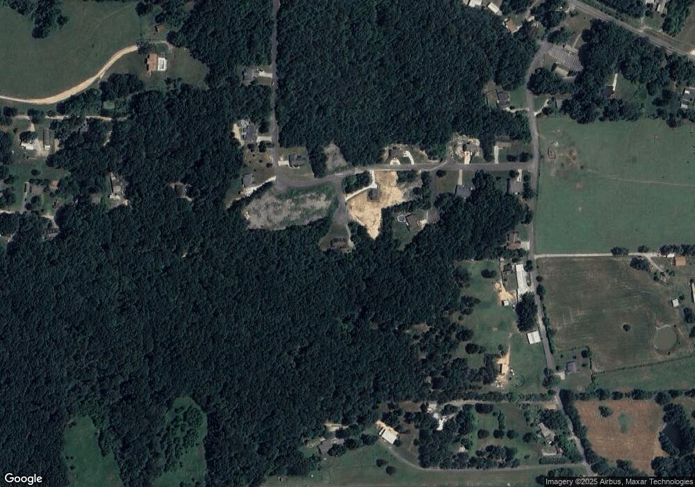
Map
Nearby Homes
- 0 Tarvin Rd Unit 1523862
- 0 Clyde Byrd Rd
- 1585 E Reed Rd
- 5062 Georgia 95
- 23 Oak Meadow Dr
- 1186 E Reed Rd
- 533 Van Dell Dr
- 106 Meadow Oak Dr
- 0 Veeler Rd Unit 1522679
- 0 Veeler Rd Unit 10628696
- 287 E Teems Rd
- 201 Van Dell Dr
- 1314 Mcintire Rd
- 200 Ash Ln
- 0 Cheshire Crossing Dr Unit 1387793
- 4654 Us Highway 27
- 4582 Highway N 27
- 4544 N Highway 27
- 63 Loughridge Ln
- 76 Side Kick Ln
- 11 Stonecrest Dr
- 9 Stonecrest
- 7 Stonecrest Dr
- 0 Peavine Way Unit 1292880
- 0 Peavine Way Unit 1296639
- 0 Peavine Way Unit 1130549
- 0 Peavine Way Unit 1099959
- 0 Peavine Way Unit 1079634
- 0 Peavine Way Unit 20153694
- 0 Peavine Way Unit 1079631
- 0 Peavine Way Unit 1057070
- 0 Peavine Way Unit 1057088
- 0 Peavine Way Unit 91310
- 0 Peavine Way Unit 91309
- 0 Peavine Way Unit 91308
- 0 Peavine Way Unit 109148
- 0 Peavine Way Unit 110226
- 0 Peavine Way Unit 110225
- 0 Peavine Way Unit 110224
- 0 Peavine Way Unit 110223