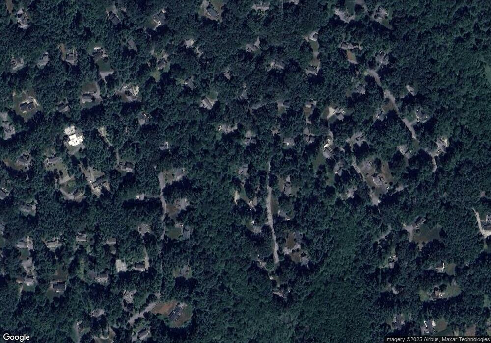
11 Stone Root Ln Sudbury, MA 01776
Estimated Value: $1,212,000 - $1,491,000
4
Beds
3
Baths
2,891
Sq Ft
$451/Sq Ft
Est. Value
About This Home
This home is located at 11 Stone Root Ln, Sudbury, MA 01776 and is currently estimated at $1,303,069, approximately $450 per square foot. 11 Stone Root Ln is a home located in Middlesex County with nearby schools including Josiah Haynes Elementary School, Ephraim Curtis Middle School, and Lincoln-Sudbury Regional High School.
Ownership History
Date
Name
Owned For
Owner Type
Purchase Details
Closed on
Feb 1, 1985
Bought by
Benoit Wilfred J and Benoit Sarah C
Current Estimated Value
Create a Home Valuation Report for This Property
The Home Valuation Report is an in-depth analysis detailing your home's value as well as a comparison with similar homes in the area
Home Values in the Area
Average Home Value in this Area
Purchase History
| Date | Buyer | Sale Price | Title Company |
|---|---|---|---|
| Benoit Wilfred J | $270,000 | -- |
Source: Public Records
Mortgage History
| Date | Status | Borrower | Loan Amount |
|---|---|---|---|
| Open | Benoit Wilfred J | $268,000 | |
| Closed | Benoit Wilfred J | $50,000 | |
| Closed | Benoit Wilfred J | $298,500 |
Source: Public Records
Tax History Compared to Growth
Tax History
| Year | Tax Paid | Tax Assessment Tax Assessment Total Assessment is a certain percentage of the fair market value that is determined by local assessors to be the total taxable value of land and additions on the property. | Land | Improvement |
|---|---|---|---|---|
| 2025 | $18,490 | $1,263,000 | $501,000 | $762,000 |
| 2024 | $17,818 | $1,219,600 | $486,600 | $733,000 |
| 2023 | $16,522 | $1,047,700 | $434,600 | $613,100 |
| 2022 | $15,994 | $886,100 | $398,600 | $487,500 |
| 2021 | $15,173 | $805,800 | $398,600 | $407,200 |
| 2020 | $14,867 | $805,800 | $398,600 | $407,200 |
| 2019 | $14,432 | $805,800 | $398,600 | $407,200 |
| 2018 | $14,253 | $794,900 | $424,200 | $370,700 |
| 2017 | $13,972 | $787,600 | $420,600 | $367,000 |
| 2016 | $13,540 | $760,700 | $404,600 | $356,100 |
| 2015 | $13,056 | $741,800 | $393,000 | $348,800 |
| 2014 | $13,034 | $722,900 | $381,400 | $341,500 |
Source: Public Records
Map
Nearby Homes
- 63 Canterbury Dr
- 55 Widow Rites Ln
- 45 Widow Rites Ln
- 5 Taintor Dr
- 57 Longfellow Rd
- 29 Longfellow Rd
- 42 Dakin Rd
- 54 Phillips Rd
- 67 Powder Mill Rd
- 166 Parker St Unit 4
- 67 Old Marlboro Rd
- 5 Oak Ridge Dr Unit 7
- 4 Elderberry Cir
- 250 Great Rd
- 24 Goodnow Rd
- 47 Fairbank Rd
- 369 Border Rd
- 427 Concord Rd
- 121 White Pond Way Unit 121
- 401 Emery Ln Unit 304
