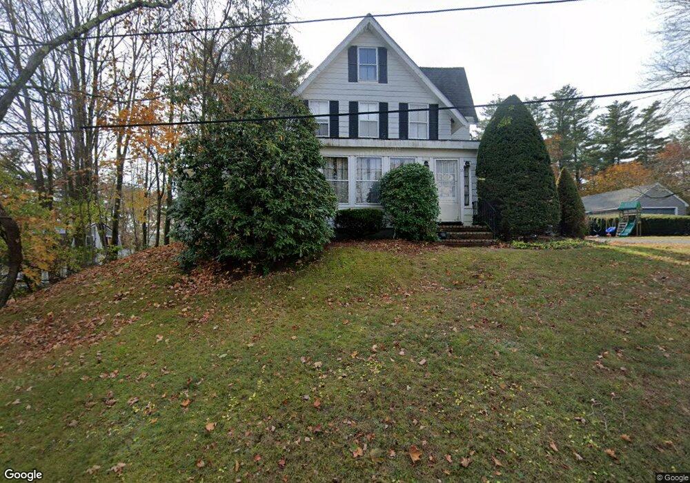
11 Summit Ave Amesbury, MA 01913
Estimated Value: $736,000 - $870,000
4
Beds
2
Baths
2,279
Sq Ft
$342/Sq Ft
Est. Value
About This Home
This home is located at 11 Summit Ave, Amesbury, MA 01913 and is currently estimated at $780,521, approximately $342 per square foot. 11 Summit Ave is a home located in Essex County with nearby schools including Amesbury High School, River Valley Charter School, and Amesbury Seventh-Day Adventist School.
Ownership History
Date
Name
Owned For
Owner Type
Purchase Details
Closed on
May 30, 2024
Sold by
Joyce Edward F and Joyce Geraldine A
Bought by
Joyce Ft and Joyce
Current Estimated Value
Purchase Details
Closed on
Sep 17, 1976
Bought by
Joyce Edward F
Create a Home Valuation Report for This Property
The Home Valuation Report is an in-depth analysis detailing your home's value as well as a comparison with similar homes in the area
Home Values in the Area
Average Home Value in this Area
Purchase History
| Date | Buyer | Sale Price | Title Company |
|---|---|---|---|
| Joyce Ft | -- | None Available | |
| Joyce Ft | -- | None Available | |
| Joyce Edward F | -- | -- |
Source: Public Records
Mortgage History
| Date | Status | Borrower | Loan Amount |
|---|---|---|---|
| Previous Owner | Joyce Edward F | $171,600 |
Source: Public Records
Tax History
| Year | Tax Paid | Tax Assessment Tax Assessment Total Assessment is a certain percentage of the fair market value that is determined by local assessors to be the total taxable value of land and additions on the property. | Land | Improvement |
|---|---|---|---|---|
| 2025 | $9,688 | $633,200 | $241,600 | $391,600 |
| 2024 | $9,156 | $585,400 | $228,000 | $357,400 |
| 2023 | $9,079 | $555,600 | $198,200 | $357,400 |
| 2022 | $8,314 | $470,000 | $172,400 | $297,600 |
| 2021 | $8,349 | $457,500 | $133,100 | $324,400 |
| 2020 | $7,549 | $439,400 | $128,000 | $311,400 |
| 2019 | $7,508 | $408,700 | $128,000 | $280,700 |
| 2018 | $7,231 | $380,800 | $121,800 | $259,000 |
| 2017 | $6,877 | $344,700 | $121,800 | $222,900 |
| 2016 | $6,808 | $335,700 | $121,800 | $213,900 |
| 2015 | $6,671 | $324,800 | $121,800 | $203,000 |
| 2014 | $6,396 | $305,000 | $121,800 | $183,200 |
Source: Public Records
Map
Nearby Homes
- 60 Merrimac St Unit 504
- 47 Cutter Ln Unit 47
- 19 Cutter Ln Unit 19
- 382 Main St
- 253 Main St
- 4 Greenwood St
- 21 River St
- 1 Hillside Ave Unit 3
- 7 Birchwood Pointe Unit 101
- 3 Birchwood Point Unit 202
- 61 Spofford St
- 4 Clark St
- 10 Woodman Way Unit 8
- 26 Bartlett's Reach Unit 26
- 97 Elm St
- 21 Congress St
- 6 Woodman Way Unit 403
- 510 Merrimac St Unit 512
- 25 Cedar St Unit 4
- 3 Tremont Ave Unit A
- 15 Summit Ave
- 10 Swetts Hill
- 17 Summit Ave
- 14 Summit Ave
- 14 Summit Ave Unit 2
- 14 Summit Ave Unit 1
- 8 Swetts Hill
- 12 Swetts Hill
- 5 Swetts Hill
- 6 Swetts Hill
- 19 Summit Ave
- 9 Swetts Hill
- 16 Summit Ave
- 4 1/2 Swetts Hill
- 4 Swetts Hill
- 18 Summit Ave
- 3 Swetts Hill
- 65 Merrimac St
- 1 Swetts Hill
- 21 Summit Ave
Your Personal Tour Guide
Ask me questions while you tour the home.