Estimated Value: $1,421,867 - $1,989,000
4
Beds
3
Baths
3,100
Sq Ft
$558/Sq Ft
Est. Value
About This Home
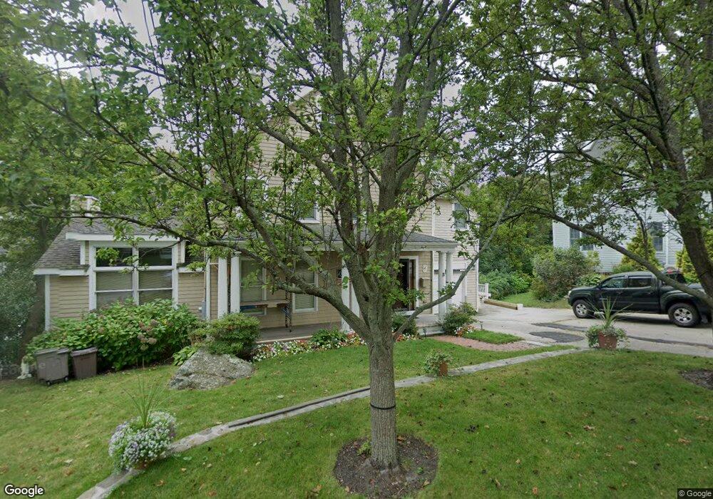
This home is located at 11 Summit Ave, Hull, MA 02045 and is currently estimated at $1,729,217, approximately $557 per square foot. 11 Summit Ave is a home located in Plymouth County with nearby schools including Lillian M. Jacobs Elementary School, Memorial Middle School, and Hull High School.
Ownership History
Date
Name
Owned For
Owner Type
Purchase Details
Closed on
Oct 16, 2001
Sold by
Murray Robert C and Murray Amelia A
Bought by
Augenstern Stanley A and Augenstern Justine R
Current Estimated Value
Purchase Details
Closed on
Feb 16, 1993
Sold by
Barry John S and Barry Melissa M
Bought by
Murray Robert C and Murray Amelia A
Create a Home Valuation Report for This Property
The Home Valuation Report is an in-depth analysis detailing your home's value as well as a comparison with similar homes in the area
Purchase History
| Date | Buyer | Sale Price | Title Company |
|---|---|---|---|
| Augenstern Stanley A | $606,450 | -- | |
| Murray Robert C | $70,000 | -- | |
| Murray Robert C | $70,000 | -- |
Source: Public Records
Mortgage History
| Date | Status | Borrower | Loan Amount |
|---|---|---|---|
| Open | Murray Robert C | $170,000 | |
| Closed | Murray Robert C | $60,000 | |
| Closed | Murray Robert C | $190,000 |
Source: Public Records
Tax History
| Year | Tax Paid | Tax Assessment Tax Assessment Total Assessment is a certain percentage of the fair market value that is determined by local assessors to be the total taxable value of land and additions on the property. | Land | Improvement |
|---|---|---|---|---|
| 2025 | $15,028 | $1,341,800 | $382,400 | $959,400 |
| 2024 | $13,699 | $1,175,900 | $359,100 | $816,800 |
| 2023 | $13,545 | $1,113,000 | $345,100 | $767,900 |
| 2022 | $13,201 | $1,052,700 | $349,900 | $702,800 |
| 2021 | $12,889 | $1,016,500 | $321,500 | $695,000 |
| 2020 | $11,788 | $919,500 | $321,500 | $598,000 |
| 2019 | $11,271 | $863,700 | $283,700 | $580,000 |
| 2018 | $10,374 | $792,000 | $283,700 | $508,300 |
| 2017 | $10,374 | $756,100 | $283,700 | $472,400 |
| 2016 | $10,192 | $756,100 | $283,700 | $472,400 |
| 2015 | $10,613 | $761,300 | $283,700 | $477,600 |
| 2014 | $10,034 | $723,400 | $245,800 | $477,600 |
Source: Public Records
Map
Nearby Homes
- 560 Jerusalem Rd
- 597 Jerusalem Rd
- 48 Valley Beach Ave Unit 2
- 18 Valley Beach Ave
- 130 Forest Ave
- 6 State Park Rd Unit 2
- 62 Oceanside Dr
- 1 Longbeach Ave Unit 202
- 96 Forest Ave
- 121 Nantasket Ave Unit 503
- 166 Hull St
- 4 Atherton Rd
- 22 Berkley Rd Unit B
- 23 Wyola Rd
- 14 Cedarledge Village
- 114 Hull St
- 59 Wheelwright Unit 59
- LOT 1B Rockland St
- 137 Fairoaks Ln
- 8 Hampton Cir
Your Personal Tour Guide
Ask me questions while you tour the home.