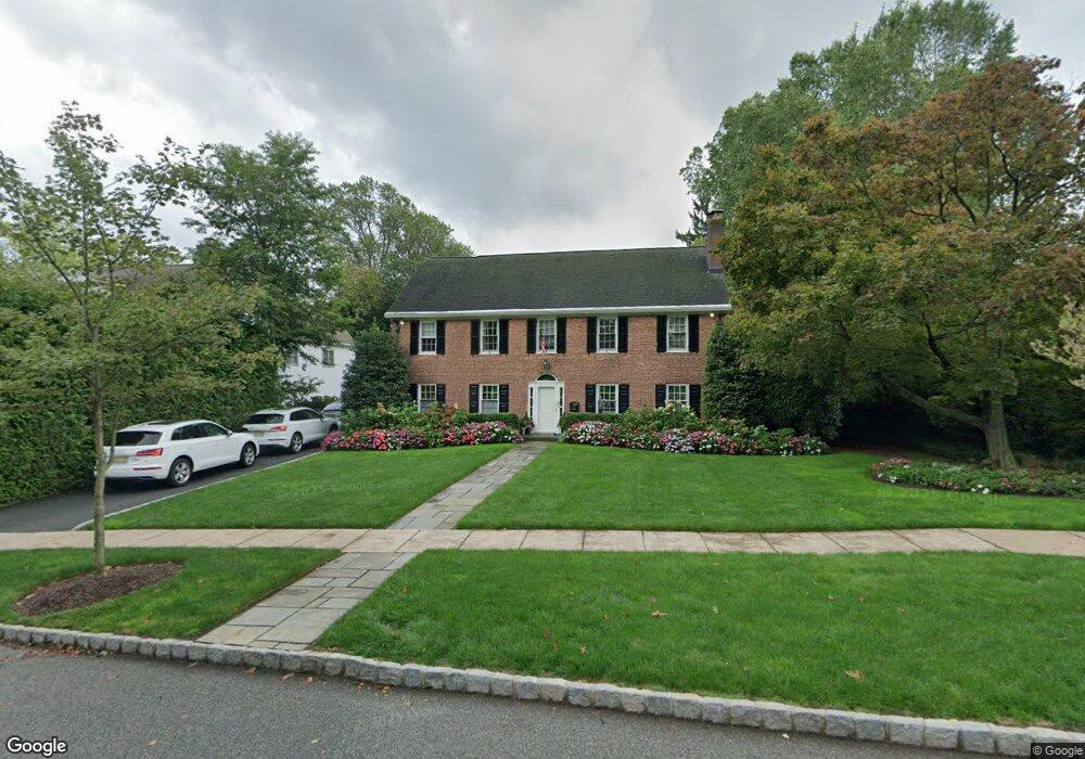
11 Sutherland Rd Montclair, NJ 07042
Estimated Value: $1,635,000 - $2,718,000
Studio
--
Bath
4,486
Sq Ft
$473/Sq Ft
Est. Value
About This Home
This home is located at 11 Sutherland Rd, Montclair, NJ 07042 and is currently estimated at $2,122,121, approximately $473 per square foot. 11 Sutherland Rd is a home located in Essex County with nearby schools including Nishuane School, Hillside School, and Bradford School.
Ownership History
Date
Name
Owned For
Owner Type
Purchase Details
Closed on
Feb 22, 2001
Sold by
Milke Steven C
Bought by
Everson Douglas M and Everson Carolyn N
Current Estimated Value
Home Financials for this Owner
Home Financials are based on the most recent Mortgage that was taken out on this home.
Original Mortgage
$749,000
Outstanding Balance
$266,702
Interest Rate
6.89%
Estimated Equity
$1,855,419
Purchase Details
Closed on
Jul 20, 1993
Sold by
Kaplan Jerome and Kaplan Susan
Bought by
Milke Steven C and Milke Elizabeth B
Create a Home Valuation Report for This Property
The Home Valuation Report is an in-depth analysis detailing your home's value as well as a comparison with similar homes in the area
Home Values in the Area
Average Home Value in this Area
Purchase History
| Date | Buyer | Sale Price | Title Company |
|---|---|---|---|
| Everson Douglas M | $950,000 | -- | |
| Milke Steven C | $500,000 | -- |
Source: Public Records
Mortgage History
| Date | Status | Borrower | Loan Amount |
|---|---|---|---|
| Open | Everson Douglas M | $749,000 |
Source: Public Records
Tax History
| Year | Tax Paid | Tax Assessment Tax Assessment Total Assessment is a certain percentage of the fair market value that is determined by local assessors to be the total taxable value of land and additions on the property. | Land | Improvement |
|---|---|---|---|---|
| 2025 | $52,464 | $1,552,200 | $382,900 | $1,169,300 |
| 2024 | $52,464 | $1,552,200 | $382,900 | $1,169,300 |
Source: Public Records
Map
Nearby Homes
- 114 Harrison Ave
- 17 Wilfred St
- 10 Harrison Ave
- 6 Franklin Ave
- 20 Valley Way
- 40 Franklin Place
- 114 Elm St
- 168 Maple St
- 12 Enfield Ave
- 25 Melrose Place
- 44 Madison Ave
- 28 Irving St
- 101 Gates Ave Unit A2
- 101 Gates Ave Unit 2A
- 8 Madison Ave
- 425 Main St
- 24 Mountain Ave
- 39 Harrison Ave Unit 8
- 39 Harrison Ave Unit 19
- 38 Watchung Ave
- 9 Sutherland Rd
- 15 Sutherland Rd
- 3 Sutherland Rd
- 10 Sutherland Rd
- 6 Sutherland Rd
- 18 Sutherland Rd
- 1 Sutherland Rd
- 33 Stonebridge Rd
- 168 Harrison Ave
- 2 Sutherland Rd
- 35 Stonebridge Rd
- 146 Harrison Ave
- 11 Graham Terrace
- 13 Graham Terrace
- 15 Graham Terrace
- 9 Graham Terrace
- 8 S Brookwood Dr
- 10 S Brookwood Dr
- 19 Graham Terrace
- 17 Graham Terrace
Your Personal Tour Guide
Ask me questions while you tour the home.