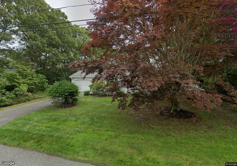
11 Swift Brook Rd South Yarmouth, MA 02664
South Yarmouth NeighborhoodEstimated Value: $491,974 - $535,000
2
Beds
1
Bath
864
Sq Ft
$598/Sq Ft
Est. Value
About This Home
This home is located at 11 Swift Brook Rd, South Yarmouth, MA 02664 and is currently estimated at $516,994, approximately $598 per square foot. 11 Swift Brook Rd is a home located in Barnstable County with nearby schools including Dennis-Yarmouth Regional High School, Sturgis Charter Public School, and St. Pius X. School.
Ownership History
Date
Name
Owned For
Owner Type
Purchase Details
Closed on
Nov 9, 2023
Sold by
Orr Shepherd 2008 Ret and Shepherd
Bought by
Shepherd Deirdre
Current Estimated Value
Purchase Details
Closed on
Feb 11, 2014
Sold by
Shepherd Orr
Bought by
Orr Shepherd Ret and Shepherd
Create a Home Valuation Report for This Property
The Home Valuation Report is an in-depth analysis detailing your home's value as well as a comparison with similar homes in the area
Home Values in the Area
Average Home Value in this Area
Purchase History
| Date | Buyer | Sale Price | Title Company |
|---|---|---|---|
| Shepherd Deirdre | -- | None Available | |
| Orr Shepherd Ret | -- | -- |
Source: Public Records
Tax History Compared to Growth
Tax History
| Year | Tax Paid | Tax Assessment Tax Assessment Total Assessment is a certain percentage of the fair market value that is determined by local assessors to be the total taxable value of land and additions on the property. | Land | Improvement |
|---|---|---|---|---|
| 2025 | $3,079 | $434,900 | $177,800 | $257,100 |
| 2024 | $3,100 | $420,000 | $150,400 | $269,600 |
| 2023 | $2,980 | $367,500 | $130,200 | $237,300 |
| 2022 | $2,816 | $306,700 | $118,300 | $188,400 |
| 2021 | $2,655 | $277,700 | $118,300 | $159,400 |
| 2020 | $2,603 | $260,300 | $118,400 | $141,900 |
| 2019 | $2,419 | $239,500 | $118,400 | $121,100 |
| 2018 | $2,283 | $221,900 | $100,800 | $121,100 |
| 2017 | $2,179 | $217,500 | $96,400 | $121,100 |
| 2016 | $2,084 | $208,800 | $87,700 | $121,100 |
| 2015 | $1,963 | $195,500 | $87,700 | $107,800 |
Source: Public Records
Map
Nearby Homes
- 18 Captain Stanley Rd
- 48 Captain Dore Rd
- 35 Captain Percival Rd
- 24 Fast Brook Rd
- 49 Captain Besse Rd
- 11 Bob-O-link Ln
- 147 Captain Bacon Rd
- 68 Bob-O-link Ln
- 33 Lake Rd
- 72 Quartermaster Row
- 3 Saturn Ln
- 23 Circuit Rd N
- 21 Hazelmoor Rd
- 33 Sparrow Way
- 17 Trowbridge Path
- 2 Ocean Spray Ln
- 62 Danas Path
- 560 W Yarmouth Rd
- 17 South St
- 0 Forsyth Ave
- 12 Winding Brook Rd
- 7 Swift Brook Rd
- 18 Winding Brook Rd
- 12 Swift Brook Rd
- 18 Swift Brook Rd
- 8 Swift Brook Rd
- 22 Winding Brook Rd
- 23 Swift Brook Rd
- 284 Forest Rd
- 22 Swift Brook Rd
- 2 Swift Brook Rd
- 11 Winding Brook Rd
- 168 Captain Noyes Rd
- 17 Winding Brook Rd
- 162 Captain Noyes Rd
- 7 Winding Brook Rd
- 28 Winding Brook Rd
- 28 Swift Brook Rd
- 174 Captain Noyes Rd
- 29 Swift Brook Rd