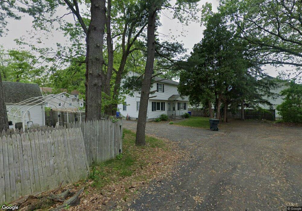
11 Swift Ct Unit 15 Springfield, MA 01119
Pine Point NeighborhoodEstimated Value: $381,949 - $443,000
4
Beds
4
Baths
1,764
Sq Ft
$232/Sq Ft
Est. Value
About This Home
This home is located at 11 Swift Ct Unit 15, Springfield, MA 01119 and is currently estimated at $408,737, approximately $231 per square foot. 11 Swift Ct Unit 15 is a home located in Hampden County with nearby schools including Thomas M Balliet Elementary School, John J Duggan Middle, and Springfield Central High School.
Ownership History
Date
Name
Owned For
Owner Type
Purchase Details
Closed on
Mar 31, 2011
Sold by
Brooks Michael L
Bought by
Caulton Carol
Current Estimated Value
Home Financials for this Owner
Home Financials are based on the most recent Mortgage that was taken out on this home.
Original Mortgage
$117,600
Outstanding Balance
$82,038
Interest Rate
5.04%
Mortgage Type
Purchase Money Mortgage
Estimated Equity
$326,699
Create a Home Valuation Report for This Property
The Home Valuation Report is an in-depth analysis detailing your home's value as well as a comparison with similar homes in the area
Home Values in the Area
Average Home Value in this Area
Purchase History
| Date | Buyer | Sale Price | Title Company |
|---|---|---|---|
| Caulton Carol | $147,000 | -- |
Source: Public Records
Mortgage History
| Date | Status | Borrower | Loan Amount |
|---|---|---|---|
| Open | Caulton Carol | $117,600 |
Source: Public Records
Tax History Compared to Growth
Tax History
| Year | Tax Paid | Tax Assessment Tax Assessment Total Assessment is a certain percentage of the fair market value that is determined by local assessors to be the total taxable value of land and additions on the property. | Land | Improvement |
|---|---|---|---|---|
| 2025 | $5,198 | $331,500 | $39,200 | $292,300 |
| 2024 | $4,831 | $300,800 | $39,200 | $261,600 |
| 2023 | $4,815 | $279,700 | $34,700 | $245,000 |
| 2022 | $4,178 | $222,000 | $32,400 | $189,600 |
| 2021 | $3,769 | $199,400 | $29,500 | $169,900 |
| 2020 | $3,816 | $195,400 | $29,500 | $165,900 |
| 2019 | $3,336 | $169,500 | $30,500 | $139,000 |
| 2018 | $3,179 | $165,100 | $30,500 | $134,600 |
| 2017 | $3,179 | $161,700 | $33,600 | $128,100 |
| 2016 | $3,022 | $153,700 | $33,600 | $120,100 |
| 2015 | $3,061 | $155,600 | $33,600 | $122,000 |
Source: Public Records
Map
Nearby Homes
- 34 Wallace St
- 53 Holden St
- 55 Woodrow St
- 108 Barre St
- 195 Almira Rd
- 200 Slater Ave
- 110 Lamplighter Ln Unit C
- 70 Shumway St Unit 29
- 70 Shumway St Unit A1
- 543 Boston Rd
- 65 Fargo St
- 523 Boston Rd
- 100 Champlain St
- 188 Gilbert Ave
- 42 Geneva St
- 32 Better Way
- 44 Rest Way
- 37 Champlain Ave
- 80 Better Way
- 34 Temby St
- 60 Glenwood St
- 56 Glenwood St
- 14 Otis Ct Unit 16
- 64 Glenwood St Unit 66
- 64 Glenwood St Unit 1
- 12 Swift Ct
- 70 Glenwood St
- 44 Glenwood St
- 68 Glenwood St
- 9 Otis Ct
- 15-17 Otis Ct Unit 17
- 15-17 Otis Ct Unit 15
- 15-17 Otis Ct
- 51 Wilkes St
- 59 Glenwood St
- 43 Wilkes St
- 55 Wilkes St
- 11 Etna Ct Unit 13
- 49 Glenwood St
- 15 Otis Ct Unit 1