11 Swing About Hilton Head Island, SC 29928
Palmetto Dunes NeighborhoodEstimated Value: $1,102,000 - $1,534,000
--
Bed
--
Bath
2,132
Sq Ft
$622/Sq Ft
Est. Value
About This Home
This home is located at 11 Swing About, Hilton Head Island, SC 29928 and is currently estimated at $1,325,820, approximately $621 per square foot. 11 Swing About is a home located in Beaufort County with nearby schools including Hilton Head Island Early Childhood Center, Hilton Head Island Elementary School, and Hilton Head Island Middle School.
Ownership History
Date
Name
Owned For
Owner Type
Purchase Details
Closed on
Dec 26, 2018
Sold by
Davdson Audrey G
Bought by
Lycett Ann D and Lycett William R
Current Estimated Value
Home Financials for this Owner
Home Financials are based on the most recent Mortgage that was taken out on this home.
Original Mortgage
$405,000
Outstanding Balance
$282,093
Interest Rate
4.8%
Mortgage Type
Seller Take Back
Estimated Equity
$1,043,727
Create a Home Valuation Report for This Property
The Home Valuation Report is an in-depth analysis detailing your home's value as well as a comparison with similar homes in the area
Home Values in the Area
Average Home Value in this Area
Purchase History
| Date | Buyer | Sale Price | Title Company |
|---|---|---|---|
| Lycett Ann D | $405,000 | None Available |
Source: Public Records
Mortgage History
| Date | Status | Borrower | Loan Amount |
|---|---|---|---|
| Open | Lycett Ann D | $405,000 |
Source: Public Records
Tax History Compared to Growth
Tax History
| Year | Tax Paid | Tax Assessment Tax Assessment Total Assessment is a certain percentage of the fair market value that is determined by local assessors to be the total taxable value of land and additions on the property. | Land | Improvement |
|---|---|---|---|---|
| 2024 | $2,845 | $30,190 | $0 | $0 |
| 2023 | $2,874 | $30,190 | $0 | $0 |
| 2022 | $7,100 | $26,250 | $0 | $0 |
| 2021 | $7,105 | $26,250 | $0 | $0 |
| 2020 | $6,889 | $26,250 | $0 | $0 |
| 2019 | $6,693 | $26,250 | $0 | $0 |
| 2018 | $9,546 | $39,650 | $0 | $0 |
| 2017 | $8,879 | $35,320 | $0 | $0 |
| 2016 | $8,474 | $35,320 | $0 | $0 |
| 2014 | $8,179 | $35,320 | $0 | $0 |
Source: Public Records
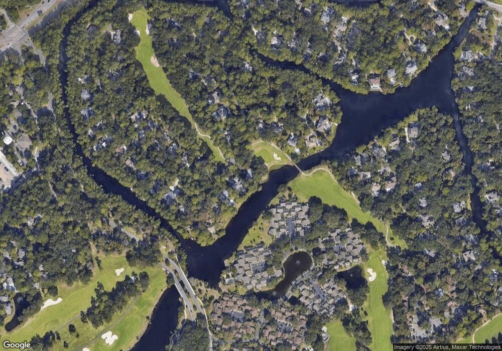
Map
Nearby Homes
- 37 Haul Away
- 21 Haul Away Unit 15
- 20 Queens Folly Rd Unit 1782
- 20 Queens Folly Rd Unit 1667
- 20 Queens Folly Rd Unit 1981
- 20 Queens Folly Rd Unit 1661
- 20 Queens Folly Rd Unit 1677
- 20 Queens Folly Rd Unit 1653
- 20 Queens Folly Rd Unit 1863
- 45 Queens Folly Rd Unit 633
- 45 Queens Folly Rd Unit 652
- 45 Queens Folly Rd Unit 529
- 45 Queens Folly Rd Unit 666
- 45 Queens Folly Rd Unit 671
- 45 Queens Folly Rd Unit 677
- 45 Queens Folly Rd Unit 789
- 45 Queens Folly Rd Unit 794
- 19 Shelter Cove Ln Unit 207
- 13 Harbourside Ln Unit 7170
- 13 Harbourside Ln Unit 7165