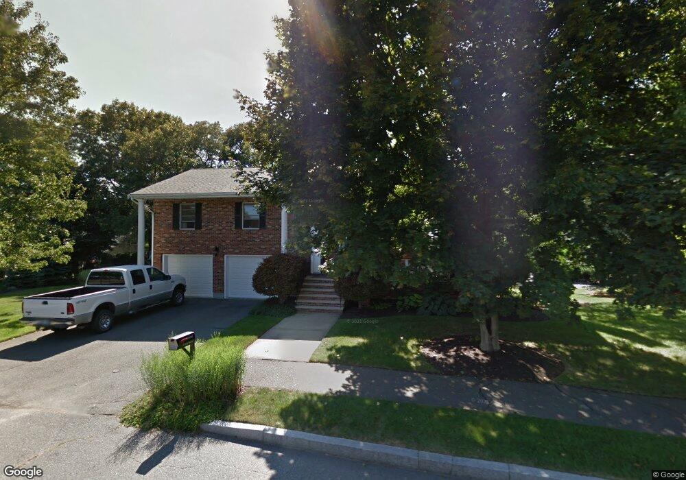
11 Tara Rd Peabody, MA 01960
South Peabody NeighborhoodEstimated Value: $880,877 - $972,000
3
Beds
3
Baths
2,468
Sq Ft
$374/Sq Ft
Est. Value
About This Home
This home is located at 11 Tara Rd, Peabody, MA 01960 and is currently estimated at $923,969, approximately $374 per square foot. 11 Tara Rd is a home located in Essex County with nearby schools including Peabody Veterans Memorial High School, St John The Baptist School, and Our Lady Of Assumption School.
Ownership History
Date
Name
Owned For
Owner Type
Purchase Details
Closed on
Apr 22, 2013
Sold by
Mcgrath Paul E and Mcgrath Karen
Bought by
Paul E Mcgrath T
Current Estimated Value
Purchase Details
Closed on
Mar 2, 1989
Sold by
Oak Hill Rt
Bought by
Mcgrath Paul E
Home Financials for this Owner
Home Financials are based on the most recent Mortgage that was taken out on this home.
Original Mortgage
$117,000
Interest Rate
10.63%
Mortgage Type
Purchase Money Mortgage
Create a Home Valuation Report for This Property
The Home Valuation Report is an in-depth analysis detailing your home's value as well as a comparison with similar homes in the area
Home Values in the Area
Average Home Value in this Area
Purchase History
| Date | Buyer | Sale Price | Title Company |
|---|---|---|---|
| Paul E Mcgrath T | -- | -- | |
| Mcgrath Paul E | $248,491 | -- |
Source: Public Records
Mortgage History
| Date | Status | Borrower | Loan Amount |
|---|---|---|---|
| Previous Owner | Mcgrath Paul E | $200,000 | |
| Previous Owner | Mcgrath Paul E | $157,000 | |
| Previous Owner | Mcgrath Paul E | $117,000 |
Source: Public Records
Tax History Compared to Growth
Tax History
| Year | Tax Paid | Tax Assessment Tax Assessment Total Assessment is a certain percentage of the fair market value that is determined by local assessors to be the total taxable value of land and additions on the property. | Land | Improvement |
|---|---|---|---|---|
| 2025 | $7,489 | $808,800 | $320,000 | $488,800 |
| 2024 | $7,108 | $779,400 | $320,000 | $459,400 |
| 2023 | $6,412 | $673,500 | $266,700 | $406,800 |
| 2022 | $5,939 | $588,000 | $231,900 | $356,100 |
| 2021 | $5,917 | $564,100 | $210,800 | $353,300 |
| 2020 | $5,998 | $558,500 | $210,800 | $347,700 |
| 2019 | $5,773 | $524,300 | $210,800 | $313,500 |
| 2018 | $5,541 | $483,500 | $188,200 | $295,300 |
| 2017 | $5,450 | $463,400 | $188,200 | $275,200 |
| 2016 | $5,080 | $426,200 | $188,200 | $238,000 |
| 2015 | $4,943 | $401,900 | $188,200 | $213,700 |
Source: Public Records
Map
Nearby Homes
- 17 Janet Ln
- 5 Louis Rd
- 6 Christopher Terrace
- 41 Dexter St
- 5 Quarry Terrace
- 29 Rockway Rd
- 131 Den Quarry Rd
- 325 Den Quarry Rd
- 34 Glendale Ave
- 16 Sarah's Way
- 35 Oak Ridge Cir
- 217 Cedar Brook Rd
- 3 Veterans Memorial Dr
- 60 Lynn St
- 232 Lynn St
- 69 Saunders Rd
- 18 Woodrow Terrace
- 85 Range Ave
- 2 Anchor Rd
- 3 Ralph Rd