11 Thompson Rd Round Pond, ME 04564
Estimated Value: $442,020 - $752,000
--
Bed
--
Bath
--
Sq Ft
0.75
Acres
About This Home
This home is located at 11 Thompson Rd, Round Pond, ME 04564 and is currently estimated at $588,755. 11 Thompson Rd is a home with nearby schools including Bristol Consolidated School.
Ownership History
Date
Name
Owned For
Owner Type
Purchase Details
Closed on
Nov 4, 2011
Sold by
Hastings James F and Hastings Nathaniel F
Bought by
Harris Robert W and Mckenzie Jody L
Current Estimated Value
Home Financials for this Owner
Home Financials are based on the most recent Mortgage that was taken out on this home.
Original Mortgage
$130,000
Outstanding Balance
$96,054
Interest Rate
6%
Mortgage Type
Commercial
Estimated Equity
$492,701
Create a Home Valuation Report for This Property
The Home Valuation Report is an in-depth analysis detailing your home's value as well as a comparison with similar homes in the area
Home Values in the Area
Average Home Value in this Area
Purchase History
| Date | Buyer | Sale Price | Title Company |
|---|---|---|---|
| Harris Robert W | -- | -- | |
| Harris Robert W | -- | -- | |
| Harris Robert W | -- | -- |
Source: Public Records
Mortgage History
| Date | Status | Borrower | Loan Amount |
|---|---|---|---|
| Open | Harris Robert W | $130,000 | |
| Closed | Harris Robert W | $130,000 |
Source: Public Records
Tax History Compared to Growth
Tax History
| Year | Tax Paid | Tax Assessment Tax Assessment Total Assessment is a certain percentage of the fair market value that is determined by local assessors to be the total taxable value of land and additions on the property. | Land | Improvement |
|---|---|---|---|---|
| 2024 | $2,671 | $300,100 | $83,300 | $216,800 |
| 2023 | $2,386 | $300,100 | $83,300 | $216,800 |
| 2022 | $2,161 | $300,100 | $83,300 | $216,800 |
| 2021 | $2,161 | $300,100 | $83,300 | $216,800 |
| 2020 | $2,176 | $300,100 | $83,300 | $216,800 |
| 2019 | $891 | $274,200 | $83,300 | $190,900 |
| 2018 | $1,108 | $274,200 | $83,300 | $190,900 |
| 2017 | $1,244 | $274,200 | $83,300 | $190,900 |
| 2016 | $1,338 | $169,400 | $54,000 | $115,400 |
| 2015 | $1,431 | $169,400 | $54,000 | $115,400 |
| 2014 | $1,270 | $160,700 | $54,000 | $106,700 |
| 2013 | $993 | $129,000 | $54,000 | $75,000 |
Source: Public Records
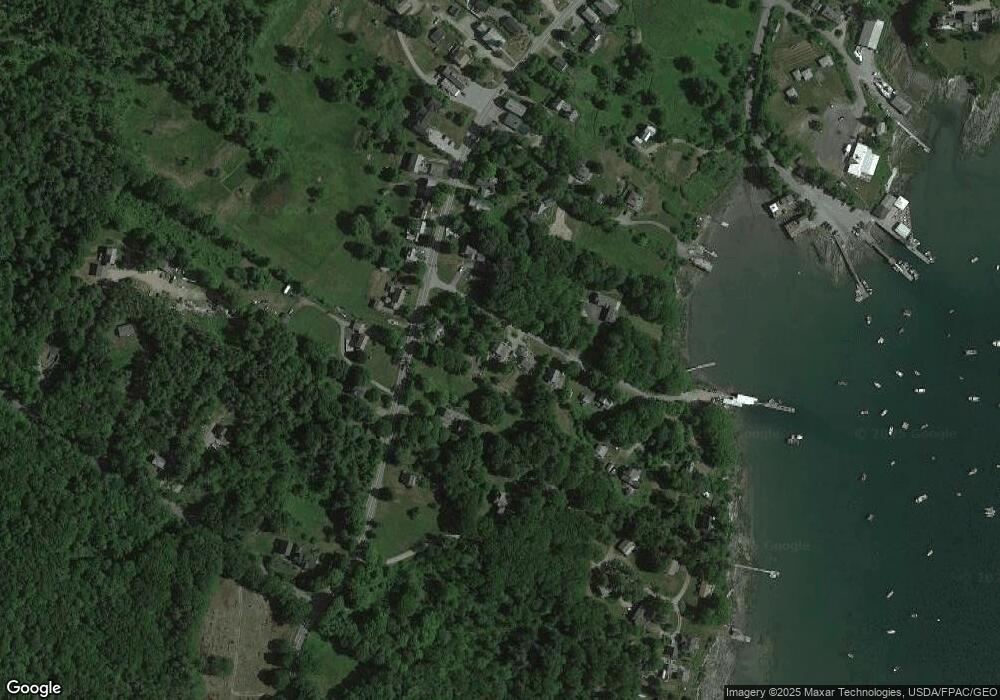
Map
Nearby Homes
- 1276 State Route 32
- 153 Back Shore Rd
- 31 Viking Way
- Lot 009 Reny Rd
- 359 Lower Round Pond Rd
- Lot 10.6 Louds Island
- 146 Lower Round Pond Rd
- 12 Nonesuch Ln
- 17 Eastwood Ct
- M6l54
- 9 Bearces Hill Rd
- 0 Sodom Rd
- M6L54 Bristol Rd
- M6L53 Bristol Rd
- Lot 149 Bristol Rd
- 033-1 Bristol Rd
- 1212 Bristol Rd
- M10L40E4 Christian Hill Rd
- Map10 L39B Christian Hill Rd
- Lot 68-11 Shore Rd
- 19 Thompson Rd
- 1397 State Route 32
- 1379 State Route 32
- 1379 State Route 32
- 25 Thompson Rd
- 1390 State Route 32
- 1386 Maine 32
- 1386 State Route 32
- 35 Thompson Rd
- 1400 State Route 32
- 9 Gorham Rd
- 1396 State Route 32
- 1403 State Route 32
- 1378 State Route 32
- 16 Harding Rd
- 1404 State Route 32
- 24 Harding Rd
- 12 Gorham Rd
- 1406 State Route 32
- 38 Thompson Rd