11 Thompson Way Bourne, MA 02532
Buzzards Bay NeighborhoodEstimated Value: $313,000 - $334,000
1
Bed
1
Bath
409
Sq Ft
$795/Sq Ft
Est. Value
About This Home
This home is located at 11 Thompson Way, Bourne, MA 02532 and is currently estimated at $325,267, approximately $795 per square foot. 11 Thompson Way is a home located in Barnstable County with nearby schools including South Elementary School, Plymouth South Middle School, and Plymouth South High School.
Ownership History
Date
Name
Owned For
Owner Type
Purchase Details
Closed on
Dec 16, 2025
Sold by
Bohac Jessica L
Bought by
Bohac Jessica L and Bohac Mark D
Current Estimated Value
Home Financials for this Owner
Home Financials are based on the most recent Mortgage that was taken out on this home.
Original Mortgage
$313,500
Outstanding Balance
$313,500
Interest Rate
6.17%
Mortgage Type
New Conventional
Estimated Equity
$11,767
Purchase Details
Closed on
Dec 10, 2025
Sold by
Gee Barry
Bought by
Bohac Jessica L
Home Financials for this Owner
Home Financials are based on the most recent Mortgage that was taken out on this home.
Original Mortgage
$313,500
Outstanding Balance
$313,500
Interest Rate
6.17%
Mortgage Type
New Conventional
Estimated Equity
$11,767
Purchase Details
Closed on
Nov 17, 2025
Sold by
Patton Donna A
Bought by
Patton Donna A and Gee Barry
Home Financials for this Owner
Home Financials are based on the most recent Mortgage that was taken out on this home.
Original Mortgage
$313,500
Outstanding Balance
$313,500
Interest Rate
6.17%
Mortgage Type
New Conventional
Estimated Equity
$11,767
Purchase Details
Closed on
Oct 22, 2019
Sold by
Broadhurst Tai
Bought by
Patton Donna A
Home Financials for this Owner
Home Financials are based on the most recent Mortgage that was taken out on this home.
Original Mortgage
$131,600
Interest Rate
3.6%
Mortgage Type
New Conventional
Purchase Details
Closed on
Apr 8, 2019
Sold by
Broadhurst Paul A and Broadhurst Tai
Bought by
Broadhurst Tai
Purchase Details
Closed on
Jul 6, 2012
Sold by
Roberts Cynthia G and Onewest Bank Fsb
Bought by
Bank Of America Na
Purchase Details
Closed on
Mar 16, 1999
Sold by
Daynes Paul
Bought by
Roberts Cynthia G
Home Financials for this Owner
Home Financials are based on the most recent Mortgage that was taken out on this home.
Original Mortgage
$45,000
Interest Rate
6.73%
Mortgage Type
Purchase Money Mortgage
Create a Home Valuation Report for This Property
The Home Valuation Report is an in-depth analysis detailing your home's value as well as a comparison with similar homes in the area
Home Values in the Area
Average Home Value in this Area
Purchase History
| Date | Buyer | Sale Price | Title Company |
|---|---|---|---|
| Bohac Jessica L | -- | -- | |
| Bohac Jessica L | $330,000 | -- | |
| Patton Donna A | -- | -- | |
| Patton Donna A | $164,500 | None Available | |
| Broadhurst Tai | -- | -- | |
| Bank Of America Na | $83,000 | -- | |
| Roberts Cynthia G | $50,000 | -- |
Source: Public Records
Mortgage History
| Date | Status | Borrower | Loan Amount |
|---|---|---|---|
| Open | Bohac Jessica L | $313,500 | |
| Previous Owner | Patton Donna A | $131,600 | |
| Previous Owner | Roberts Cynthia G | $45,000 |
Source: Public Records
Tax History
| Year | Tax Paid | Tax Assessment Tax Assessment Total Assessment is a certain percentage of the fair market value that is determined by local assessors to be the total taxable value of land and additions on the property. | Land | Improvement |
|---|---|---|---|---|
| 2025 | $2,024 | $259,100 | $0 | $259,100 |
| 2024 | $1,569 | $195,600 | $0 | $195,600 |
| 2023 | $1,364 | $154,800 | $0 | $154,800 |
| 2022 | $1,452 | $143,900 | $0 | $143,900 |
| 2021 | $1,435 | $133,200 | $0 | $133,200 |
| 2020 | $1,354 | $126,100 | $0 | $126,100 |
| 2019 | $1,197 | $113,900 | $0 | $113,900 |
| 2018 | $1,086 | $103,000 | $0 | $103,000 |
| 2017 | $966 | $93,800 | $0 | $93,800 |
| 2016 | $974 | $95,900 | $0 | $95,900 |
| 2015 | $966 | $95,900 | $0 | $95,900 |
Source: Public Records
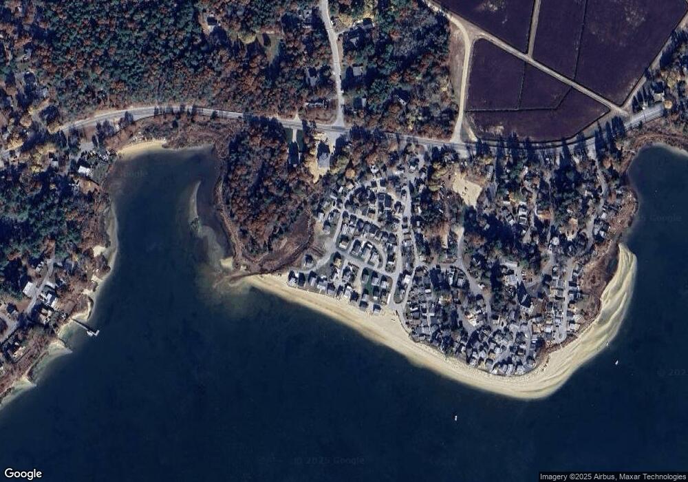
Map
Nearby Homes
- 13 Hideaway Village Unit G
- 9 Hideaway Rd Unit F
- 810 Head of The Bay Rd
- 29 Walnut St
- 52 Nickerson St
- 29 Wenonah Rd
- 163 Lake Dr
- 29 Wenonah Rd
- 52 Birch St
- 20 Salt Works Rd
- 67 Algonquin St
- 60 Martin St
- 92 Choctaw Dr
- 6 Wall St
- 56 Rip Van Winkle Way
- 4 Van Bummel Rd
- 40-A Lafayette Ave
- 3132 Cranberry Hwy Unit 59
- 58 Maple St
- 13 Bay Pointe Drive Extension
- 11 Thompson Rd Unit 11
- 11 Thompson Rd
- 0 Thompson Rd Unit 2039294
- 0 Thompson Rd Unit 22A 2037776
- 0 Thompson Rd Unit 5A
- 13 Thompson Rd
- 12 Wild Rose Ave
- 1 Wild Rose Dr Unit 1
- 1 Wild Rose Ave Unit C
- 1 Wild Rose Ave
- 8 A Thompson Rd
- 8 A Thompson Rd Unit A
- 2 Wild Rose Ave
- 2 Wild Rose Ave Unit C
- 2 Wild Rose Dr
- 2 Wild Rose Dr Unit C
- 2C Wild Rose Ave
- 2 Wild Rose Ave
- 2 Wild Rose Ave Unit 2
- 6 Thompson Way
Your Personal Tour Guide
Ask me questions while you tour the home.