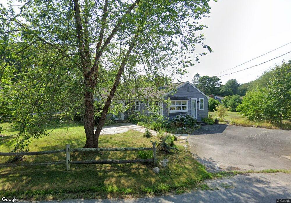
11 Thorne Rd Bourne, MA 2532
Estimated Value: $532,000 - $592,000
2
Beds
1
Bath
1,068
Sq Ft
$515/Sq Ft
Est. Value
About This Home
This home is located at 11 Thorne Rd, Bourne, MA 2532 and is currently estimated at $550,425, approximately $515 per square foot. 11 Thorne Rd is a home located in Barnstable County with nearby schools including Bourne High School, St Margaret Regional School, and Cadence Academy Preschool - Bourne.
Ownership History
Date
Name
Owned For
Owner Type
Purchase Details
Closed on
May 11, 2001
Sold by
Leesa Daniel and Leesa Penny
Bought by
Fish Ellen M
Current Estimated Value
Home Financials for this Owner
Home Financials are based on the most recent Mortgage that was taken out on this home.
Original Mortgage
$206,910
Interest Rate
6.88%
Mortgage Type
Purchase Money Mortgage
Purchase Details
Closed on
Nov 1, 2000
Sold by
Gentile Sophie B
Bought by
Lessa Penny and Lessa Daniel
Create a Home Valuation Report for This Property
The Home Valuation Report is an in-depth analysis detailing your home's value as well as a comparison with similar homes in the area
Home Values in the Area
Average Home Value in this Area
Purchase History
| Date | Buyer | Sale Price | Title Company |
|---|---|---|---|
| Fish Ellen M | $229,900 | -- | |
| Fish Ellen M | $229,900 | -- | |
| Lessa Penny | $145,000 | -- | |
| Lessa Penny | $145,000 | -- |
Source: Public Records
Mortgage History
| Date | Status | Borrower | Loan Amount |
|---|---|---|---|
| Open | Lessa Penny | $65,363 | |
| Open | Lessa Penny | $198,370 | |
| Closed | Lessa Penny | $206,910 |
Source: Public Records
Tax History Compared to Growth
Tax History
| Year | Tax Paid | Tax Assessment Tax Assessment Total Assessment is a certain percentage of the fair market value that is determined by local assessors to be the total taxable value of land and additions on the property. | Land | Improvement |
|---|---|---|---|---|
| 2025 | $3,606 | $461,700 | $259,500 | $202,200 |
| 2024 | $3,545 | $442,000 | $247,100 | $194,900 |
| 2023 | $3,329 | $377,900 | $218,700 | $159,200 |
| 2022 | $3,227 | $319,800 | $193,500 | $126,300 |
| 2021 | $3,134 | $291,000 | $176,100 | $114,900 |
| 2020 | $3,048 | $283,800 | $174,400 | $109,400 |
| 2019 | $2,122 | $297,100 | $193,800 | $103,300 |
| 2018 | $2,930 | $278,000 | $184,600 | $93,400 |
| 2017 | $2,093 | $273,000 | $182,900 | $90,100 |
| 2016 | $2,567 | $252,700 | $164,600 | $88,100 |
| 2015 | $2,299 | $228,300 | $140,200 | $88,100 |
Source: Public Records
Map
Nearby Homes
- 151 - 153 Main St
- 16 Washington Ave
- 203 County Rd
- 46 Holt Rd
- 46 Holt Rd Unit A
- 13 Laurel Hill Ct
- 34 Washington Ave
- 18 Carlton Rd
- 44 Cotuit Rd
- 14 Great Rock Rd
- 5 Sea Knoll Ct
- 26 Carnoustie Rd
- 12 Beachwood Rd
- 12 Turnberry Rd Unit 12
- 60 Sandwich Rd
- 56 Rip Van Winkle Way
- 34 Turnberry Rd
- 38 Old Bridge Rd