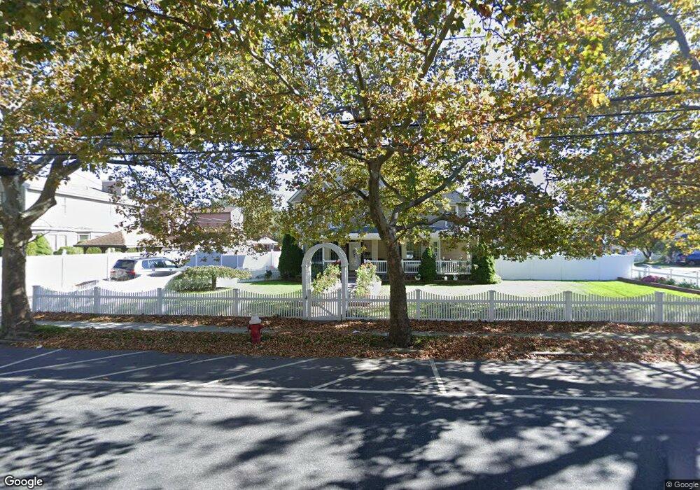
11 Tilrose Ave Lynbrook, NY 11563
Estimated Value: $884,000 - $884,343
--
Bed
3
Baths
2,335
Sq Ft
$379/Sq Ft
Est. Value
About This Home
This home is located at 11 Tilrose Ave, Lynbrook, NY 11563 and is currently estimated at $884,172, approximately $378 per square foot. 11 Tilrose Ave is a home located in Nassau County with nearby schools including Davison Avenue Intermediate School, Maurice W. Downing Primary K-2 School, and Howard T Herber Middle School.
Ownership History
Date
Name
Owned For
Owner Type
Purchase Details
Closed on
Oct 10, 2012
Sold by
Sanelli Eugene and Sanelli Eugene C
Bought by
Sanelli Lynn and Sanelli S
Current Estimated Value
Purchase Details
Closed on
Nov 12, 2010
Sold by
Sanelli Eugene and Sanelli Arlene
Bought by
Sanelli Lynn
Purchase Details
Closed on
Nov 10, 2006
Sold by
Lorner Robert
Bought by
Sanelli Eugene
Purchase Details
Closed on
May 29, 2001
Sold by
Sorok Sharon
Bought by
Lorner Benjamin
Create a Home Valuation Report for This Property
The Home Valuation Report is an in-depth analysis detailing your home's value as well as a comparison with similar homes in the area
Home Values in the Area
Average Home Value in this Area
Purchase History
| Date | Buyer | Sale Price | Title Company |
|---|---|---|---|
| Sanelli Lynn | -- | -- | |
| Sanelli Lynn | -- | -- | |
| Sanelli Eugene | $590,000 | -- | |
| Lorner Benjamin | $137,500 | Stanley Cohen |
Source: Public Records
Tax History Compared to Growth
Tax History
| Year | Tax Paid | Tax Assessment Tax Assessment Total Assessment is a certain percentage of the fair market value that is determined by local assessors to be the total taxable value of land and additions on the property. | Land | Improvement |
|---|---|---|---|---|
| 2025 | $11,602 | $537 | $185 | $352 |
| 2024 | $3,828 | $538 | $185 | $353 |
| 2023 | $11,962 | $569 | $197 | $372 |
| 2022 | $11,962 | $563 | $194 | $369 |
| 2021 | $16,432 | $573 | $198 | $375 |
| 2020 | $14,146 | $991 | $475 | $516 |
| 2019 | $14,538 | $991 | $475 | $516 |
| 2018 | $13,451 | $991 | $0 | $0 |
| 2017 | $7,945 | $991 | $475 | $516 |
| 2016 | $12,302 | $991 | $475 | $516 |
| 2015 | $3,866 | $991 | $475 | $516 |
| 2014 | $3,866 | $991 | $475 | $516 |
| 2013 | $3,618 | $991 | $475 | $516 |
Source: Public Records
Map
Nearby Homes
- 16 Rider Ave
- 224 Kensington Rd
- 99 Rider Ave
- 230 Kensington Rd
- 1 Nassau Blvd
- 204 Hempstead Ave
- 42 Stuart Ave
- 31 Carol St
- 12 Roosevelt Ave
- 39 Linmouth Rd
- 104 Broadway
- 101 Stuart Ave
- 64 Hodson Ave
- 42 Hendrickson Ave
- 35 Roosevelt Ave
- 321 Rolling St
- 63 Central Ave
- 90 Pearsall Ave
- 59 Lakeview Ave
- 17 Aberdeen St