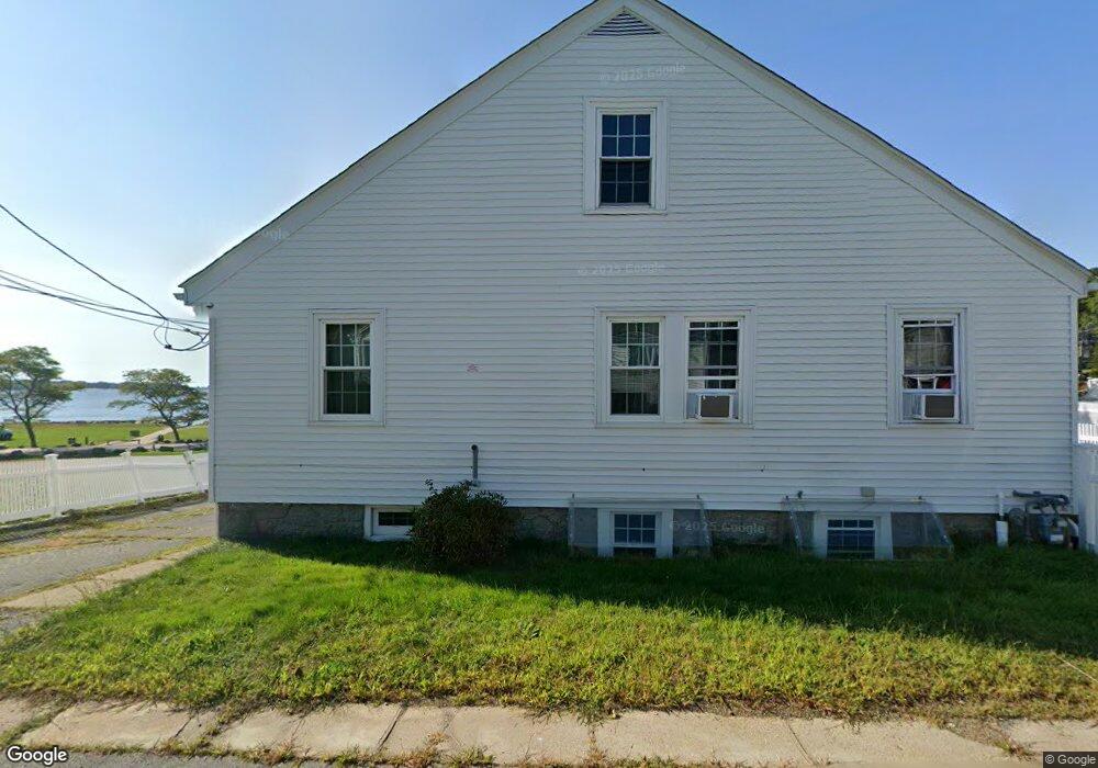
11 Tolman Ave Gloucester, MA 01930
West Gloucester NeighborhoodEstimated Value: $681,000 - $986,000
3
Beds
1
Bath
1,500
Sq Ft
$574/Sq Ft
Est. Value
About This Home
This home is located at 11 Tolman Ave, Gloucester, MA 01930 and is currently estimated at $860,937, approximately $573 per square foot. 11 Tolman Ave is a home located in Essex County with nearby schools including West Parish, Ralph B O'maley Middle School, and Gloucester High School.
Ownership History
Date
Name
Owned For
Owner Type
Purchase Details
Closed on
Jun 17, 2003
Sold by
Crivello Angeline and Crivello Antonino
Bought by
Crivello Antonino
Current Estimated Value
Home Financials for this Owner
Home Financials are based on the most recent Mortgage that was taken out on this home.
Original Mortgage
$253,000
Outstanding Balance
$110,746
Interest Rate
5.77%
Estimated Equity
$750,191
Create a Home Valuation Report for This Property
The Home Valuation Report is an in-depth analysis detailing your home's value as well as a comparison with similar homes in the area
Home Values in the Area
Average Home Value in this Area
Purchase History
| Date | Buyer | Sale Price | Title Company |
|---|---|---|---|
| Crivello Antonino | -- | -- | |
| Crivello Antonino | -- | -- |
Source: Public Records
Mortgage History
| Date | Status | Borrower | Loan Amount |
|---|---|---|---|
| Open | Crivello Antonino | $120,200 | |
| Open | Crivello Antonino | $253,000 | |
| Previous Owner | Crivello Antonino | $224,000 | |
| Previous Owner | Crivello Antonino | $128,000 |
Source: Public Records
Tax History Compared to Growth
Tax History
| Year | Tax Paid | Tax Assessment Tax Assessment Total Assessment is a certain percentage of the fair market value that is determined by local assessors to be the total taxable value of land and additions on the property. | Land | Improvement |
|---|---|---|---|---|
| 2025 | $8,399 | $864,100 | $399,700 | $464,400 |
| 2024 | $8,362 | $859,400 | $380,800 | $478,600 |
| 2023 | $8,106 | $765,400 | $340,000 | $425,400 |
| 2022 | $7,339 | $625,700 | $289,000 | $336,700 |
| 2021 | $7,348 | $590,700 | $262,800 | $327,900 |
| 2020 | $7,119 | $577,400 | $262,800 | $314,600 |
| 2019 | $7,132 | $562,000 | $262,800 | $299,200 |
| 2018 | $6,408 | $495,600 | $211,600 | $284,000 |
| 2017 | $6,077 | $460,700 | $201,600 | $259,100 |
| 2016 | $6,009 | $441,500 | $202,400 | $239,100 |
| 2015 | $5,868 | $429,900 | $209,400 | $220,500 |
Source: Public Records
Map
Nearby Homes
- 359 Western Ave
- 5 Washington Square
- 8 Summer St Unit 103
- 15 Harvard St
- 33 Middle St
- 35 Middle St Unit 4
- 7 Rackliffe St Unit 1
- 196 Washington St
- 90 Middle St Unit L
- 191 Main St Unit 2B
- 191 Main St Unit 3
- 191 Main St Unit 2A
- 1 Wonson St
- 33 Maplewood Ave Unit 21
- 227 Essex Ave
- 5 Samoset Rd Unit A
- 73 Rocky Neck Ave Unit 2
- 60 Rocky Neck Ave Unit 202
- 7 Hawthorne Ln
- 119 Pleasant St
- 9 Rear Tolman Ave
- 9R Tolman Ave
- 9 Tolman Ave
- 12 Tolman Ave
- 10 Tolman Ave
- 8 Georgia Way
- 8 Tolman Ave
- 7 Tolman Ave
- 9 Beachmont Ave
- 6 Tolman Ave
- 5 Beachmont Ave
- 1 Tolman Ave
- 7R Tolman Ave
- 132 Western Ave
- 128 Western Ave Unit 4
- 128 Western Ave Unit 3
- 128 Western Ave Unit 2
- 128 Western Ave Unit 1
- 136 Western Ave
- 1 Beachmont Ave