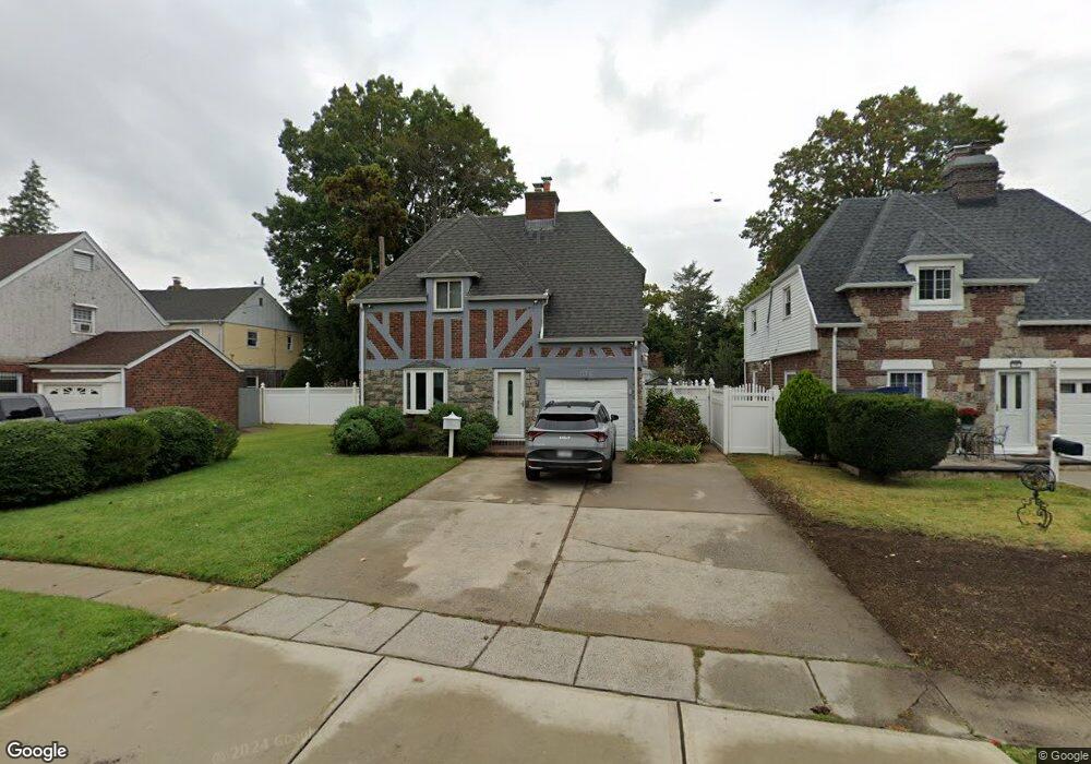
11 Tower Ct Hempstead, NY 11550
Estimated Value: $670,537 - $750,000
Studio
2
Baths
2,127
Sq Ft
$334/Sq Ft
Est. Value
About This Home
This home is located at 11 Tower Ct, Hempstead, NY 11550 and is currently estimated at $710,269, approximately $333 per square foot. 11 Tower Ct is a home located in Nassau County with nearby schools including The Academy Charter School and Hebrew Academy of Nassau County Middle School and Brookdale High School.
Ownership History
Date
Name
Owned For
Owner Type
Purchase Details
Closed on
Jan 11, 2011
Sold by
Watson Wilson
Bought by
Watson Wilson and Eddy Leena
Current Estimated Value
Purchase Details
Closed on
Feb 18, 2010
Sold by
Us Bank National Association
Bought by
Watson Wilson
Home Financials for this Owner
Home Financials are based on the most recent Mortgage that was taken out on this home.
Original Mortgage
$253,547
Interest Rate
5.62%
Mortgage Type
FHA
Purchase Details
Closed on
Feb 27, 2006
Sold by
Rodriguez Agnes
Bought by
Johnson Erik
Create a Home Valuation Report for This Property
The Home Valuation Report is an in-depth analysis detailing your home's value as well as a comparison with similar homes in the area
Home Values in the Area
Average Home Value in this Area
Purchase History
| Date | Buyer | Sale Price | Title Company |
|---|---|---|---|
| Watson Wilson | -- | -- | |
| Watson Wilson | $225,000 | -- | |
| Johnson Erik | $426,000 | -- |
Source: Public Records
Mortgage History
| Date | Status | Borrower | Loan Amount |
|---|---|---|---|
| Previous Owner | Watson Wilson | $253,547 |
Source: Public Records
Tax History
| Year | Tax Paid | Tax Assessment Tax Assessment Total Assessment is a certain percentage of the fair market value that is determined by local assessors to be the total taxable value of land and additions on the property. | Land | Improvement |
|---|---|---|---|---|
| 2023 | $7,005 | $389 | $106 | $283 |
| 2022 | $7,005 | $389 | $106 | $283 |
| 2021 | $10,352 | $377 | $103 | $274 |
| 2020 | $6,673 | $425 | $424 | $1 |
| 2019 | $5,666 | $425 | $424 | $1 |
| 2018 | $5,388 | $425 | $0 | $0 |
| 2017 | $4,107 | $425 | $407 | $18 |
| 2016 | $4,851 | $450 | $388 | $62 |
| 2015 | $795 | $475 | $244 | $231 |
| 2014 | $795 | $475 | $244 | $231 |
| 2013 | $775 | $500 | $257 | $243 |
Source: Public Records
Map
Nearby Homes
- 64 Fairview Blvd
- 66 Warner Ave
- 28 Cornwall Ln
- 95 Rhodes Ave
- 63 Devon Rd
- 126 Fairview Blvd
- 136 Fairview Blvd
- 59 Kernochan Ave
- 296 Harvard St
- 27 Elizabeth Ct
- 155 Rhodes Ave
- 186 Westbury Blvd
- 361 E Columbia St
- 69 Harriet Ave
- 676 Front St Unit F
- 7 Pilot St
- 678 Front St Unit E
- 210 Dartmouth St
- 58 Remsen Ave
- 119 Broadfield Rd
Your Personal Tour Guide
Ask me questions while you tour the home.