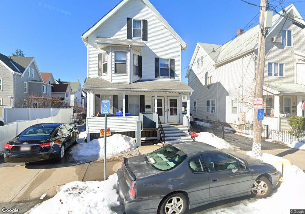
11 Townsend St Unit 13 Malden, MA 02148
Edgeworth NeighborhoodEstimated Value: $901,063 - $1,043,000
4
Beds
2
Baths
2,723
Sq Ft
$357/Sq Ft
Est. Value
About This Home
This home is located at 11 Townsend St Unit 13, Malden, MA 02148 and is currently estimated at $970,766, approximately $356 per square foot. 11 Townsend St Unit 13 is a home located in Middlesex County with nearby schools including Malden High School, Mystic Valley Regional Charter School, and Cheverus Centennial School.
Ownership History
Date
Name
Owned For
Owner Type
Purchase Details
Closed on
Mar 15, 2024
Sold by
Cook Joseph A
Bought by
Cook Michael F
Current Estimated Value
Create a Home Valuation Report for This Property
The Home Valuation Report is an in-depth analysis detailing your home's value as well as a comparison with similar homes in the area
Home Values in the Area
Average Home Value in this Area
Purchase History
| Date | Buyer | Sale Price | Title Company |
|---|---|---|---|
| Cook Michael F | -- | None Available |
Source: Public Records
Tax History
| Year | Tax Paid | Tax Assessment Tax Assessment Total Assessment is a certain percentage of the fair market value that is determined by local assessors to be the total taxable value of land and additions on the property. | Land | Improvement |
|---|---|---|---|---|
| 2025 | $81 | $714,900 | $279,400 | $435,500 |
| 2024 | $7,876 | $673,700 | $263,800 | $409,900 |
| 2023 | $7,624 | $625,400 | $240,600 | $384,800 |
| 2022 | $7,278 | $589,300 | $217,300 | $372,000 |
| 2021 | $6,956 | $566,000 | $194,000 | $372,000 |
| 2020 | $6,741 | $532,900 | $187,400 | $345,500 |
| 2019 | $6,608 | $498,000 | $178,500 | $319,500 |
| 2018 | $6,321 | $448,600 | $147,400 | $301,200 |
| 2017 | $6,066 | $428,100 | $141,600 | $286,500 |
| 2016 | $5,668 | $373,900 | $130,000 | $243,900 |
| 2015 | $5,408 | $343,800 | $123,800 | $220,000 |
| 2014 | $5,001 | $310,600 | $112,500 | $198,100 |
Source: Public Records
Map
Nearby Homes
- 46A Wentworth St
- 117 Emerald St Unit 117
- 115 Emerald St
- 186 West St
- 217 Highland Ave Unit 1
- 500 Salem St Unit 307
- 28 Murray Hill Rd
- 502 Medford St Unit B
- 35 Fells Avenue Terrace
- 394-396 Pleasant St
- 19 Amaranth Ave
- 23 Murray Hill Rd
- 118 Avon St
- 49 Kenmere Rd
- 411 Salem St Unit 1
- 43 Kenmere Rd Unit 1
- 322 Pearl St
- 1 Dexter St Unit 5
- 15 Landry Rd
- 112 Maple St Unit 6
- 9 Townsend St
- 21 Watts St
- 21 Watts St Unit 3rd Floor
- 27 Watts St
- 7 Townsend St
- 29 Watts St Unit 2
- 398 Charles St
- 398 Charles St Unit 2
- 398 Charles St Unit 2A
- 396 Charles St
- 14 Townsend St
- 394 Charles St Unit 396
- 390 Charles St Unit 392
- 390 Charles St Unit 2
- 10 Townsend St
- 400 Charles St
- 400 Charles St Unit 2
- 400 Charles St Unit 1
- 68 Townsend St
- 390-392 Charles St
Your Personal Tour Guide
Ask me questions while you tour the home.