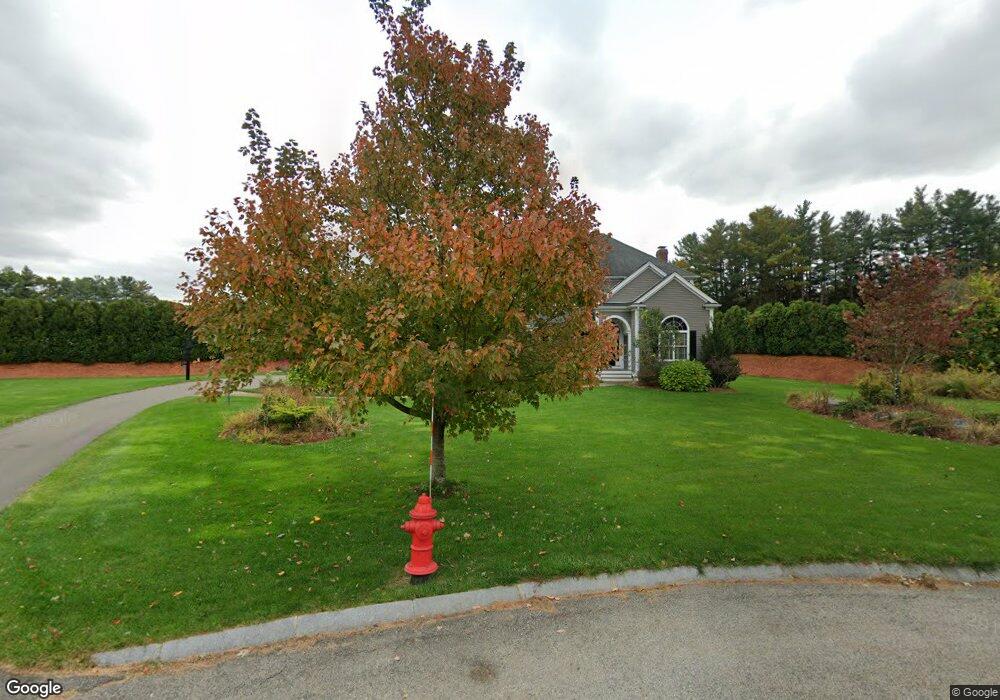
11 Trevor Way Sudbury, MA 01776
Estimated Value: $1,638,000 - $1,863,000
4
Beds
5
Baths
3,636
Sq Ft
$492/Sq Ft
Est. Value
About This Home
This home is located at 11 Trevor Way, Sudbury, MA 01776 and is currently estimated at $1,790,030, approximately $492 per square foot. 11 Trevor Way is a home located in Middlesex County with nearby schools including Israel Loring Elementary School, Ephraim Curtis Middle School, and Lincoln-Sudbury Regional High School.
Ownership History
Date
Name
Owned For
Owner Type
Purchase Details
Closed on
Sep 18, 2008
Sold by
Maillet & Son Inc
Bought by
Collins Jon R and Collins Ofelia C
Current Estimated Value
Create a Home Valuation Report for This Property
The Home Valuation Report is an in-depth analysis detailing your home's value as well as a comparison with similar homes in the area
Home Values in the Area
Average Home Value in this Area
Purchase History
| Date | Buyer | Sale Price | Title Company |
|---|---|---|---|
| Collins Jon R | $1,255,000 | -- | |
| Collins Jon R | $1,255,000 | -- |
Source: Public Records
Tax History Compared to Growth
Tax History
| Year | Tax Paid | Tax Assessment Tax Assessment Total Assessment is a certain percentage of the fair market value that is determined by local assessors to be the total taxable value of land and additions on the property. | Land | Improvement |
|---|---|---|---|---|
| 2025 | $25,228 | $1,723,200 | $501,600 | $1,221,600 |
| 2024 | $24,251 | $1,659,900 | $487,200 | $1,172,700 |
| 2023 | $22,363 | $1,418,100 | $435,100 | $983,000 |
| 2022 | $21,801 | $1,207,800 | $399,000 | $808,800 |
| 2021 | $21,080 | $1,119,500 | $399,000 | $720,500 |
| 2020 | $20,655 | $1,119,500 | $399,000 | $720,500 |
| 2019 | $20,050 | $1,119,500 | $399,000 | $720,500 |
| 2018 | $19,425 | $1,083,400 | $424,700 | $658,700 |
| 2017 | $19,188 | $1,081,600 | $421,100 | $660,500 |
| 2016 | $18,314 | $1,028,900 | $405,000 | $623,900 |
| 2015 | $17,690 | $1,005,100 | $393,400 | $611,700 |
| 2014 | $17,695 | $981,400 | $381,800 | $599,600 |
Source: Public Records
Map
Nearby Homes
- 7 Adams Rd
- 24 Woodland Rd
- 0 Robbins Rd
- 12 Hickory Rd
- 54 Stone Rd
- 30 Rolling Ln
- 89 Bridle Path
- 128 Nobscot Rd
- 0 Boston Post Rd
- 1011 Boston Post Rd
- 30 Nobscot Rd Unit 14
- 143 Peakham Rd
- 7 Saddle Ridge Rd
- 36 Concord Rd
- 32 Eaton Rd W
- 270 Old Lancaster Rd
- 23 Massasoit Ave
- 91 Eaton Rd W
- 19 Nob Hill Dr
- 6 Mountain View Dr
- Lot 12 Trevor Way
- Lot 11 Trevor Way
- Lot 14 Trevor Way
- Lot 16 Trevor Way
- Lot 15 Trevor Way
- 12 Trevor Way
- 604 Boston Post Rd
- Lot 1 Trevor Way
- 4 Trevor Way
- 8 Trevor Way
- 598 Boston Post Rd
- 40 Horse Pond Rd
- 610 Boston Post Rd
- 616 Boston Post Rd Unit H
- 616 Boston Post Rd Unit E
- 616 Boston Post Rd
- 52 Horse Pond Rd
- 31 Horse Pond Rd
- 31 Horse Pond Rd Unit 31
- 578 Boston Post Rd