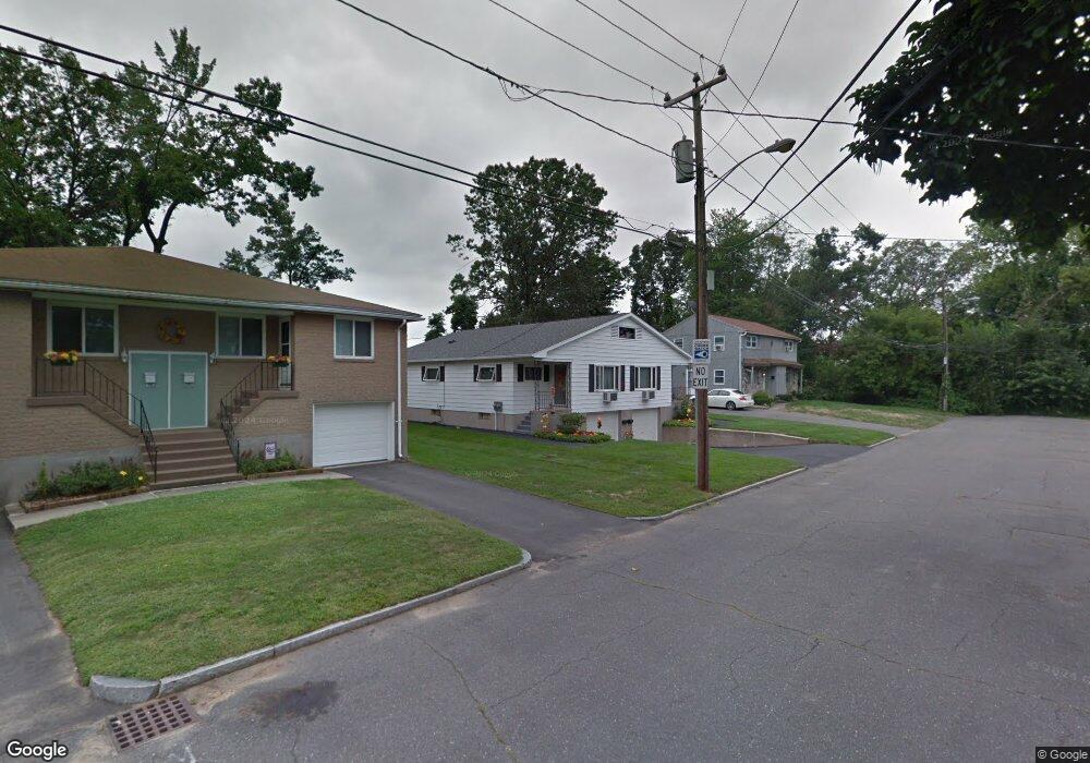
11 Tulsa St Unit 13 Springfield, MA 01118
East Forest Park NeighborhoodEstimated Value: $348,642 - $438,000
6
Beds
2
Baths
1,945
Sq Ft
$203/Sq Ft
Est. Value
About This Home
This home is located at 11 Tulsa St Unit 13, Springfield, MA 01118 and is currently estimated at $395,411, approximately $203 per square foot. 11 Tulsa St Unit 13 is a home located in Hampden County with nearby schools including Frederick Harris Elementary School, M Marcus Kiley Middle, and Springfield High School of Science and Technology.
Ownership History
Date
Name
Owned For
Owner Type
Purchase Details
Closed on
May 8, 2024
Sold by
Dicioccio David and Bulat Marion
Bought by
Bulat Ft and Bulat
Current Estimated Value
Purchase Details
Closed on
Mar 15, 2024
Sold by
Bulat Dennis J Est and Bulat
Bought by
Bulat Marion and Dicioccio David
Create a Home Valuation Report for This Property
The Home Valuation Report is an in-depth analysis detailing your home's value as well as a comparison with similar homes in the area
Home Values in the Area
Average Home Value in this Area
Purchase History
| Date | Buyer | Sale Price | Title Company |
|---|---|---|---|
| Bulat Ft | -- | None Available | |
| Bulat Ft | -- | None Available | |
| Bulat Marion | -- | None Available | |
| Bulat Marion | -- | None Available |
Source: Public Records
Tax History
| Year | Tax Paid | Tax Assessment Tax Assessment Total Assessment is a certain percentage of the fair market value that is determined by local assessors to be the total taxable value of land and additions on the property. | Land | Improvement |
|---|---|---|---|---|
| 2025 | $4,748 | $302,800 | $47,200 | $255,600 |
| 2024 | $4,364 | $271,700 | $47,200 | $224,500 |
| 2023 | $4,749 | $275,900 | $44,900 | $231,000 |
| 2022 | $3,868 | $205,500 | $44,900 | $160,600 |
| 2021 | $3,674 | $194,400 | $40,800 | $153,600 |
| 2020 | $3,572 | $182,900 | $40,800 | $142,100 |
| 2019 | $3,332 | $169,300 | $40,800 | $128,500 |
| 2018 | $3,315 | $165,300 | $40,800 | $124,500 |
| 2017 | $3,315 | $168,600 | $40,800 | $127,800 |
| 2016 | $3,126 | $159,000 | $40,800 | $118,200 |
| 2015 | $3,086 | $156,900 | $40,800 | $116,100 |
Source: Public Records
Map
Nearby Homes
- 116 Carr St
- 19 Orpheum Ave
- 161 Dorset St
- 119 Powell Ave
- 26 Dwight Rd
- 38 Manchester Terrace
- 78 Wood Ave
- 46 Hadley St
- 33-35 Ruskin St
- 13 Bither St
- 34 Castle St
- 77 Dorset St
- 1088 Sumner Ave
- 914-916 Belmont Ave
- 29 Eddywood St
- 70 Hartwick St
- 69 Belvidere St
- 46 Eckington St
- 43 Morningside Park
- 147 Belvidere St
- 57 Tulsa St
- 17 Tulsa St Unit 19
- 17-19 Tulsa St
- 106 Moulton St Unit 108
- 106-108 Moulton St
- 23-25 Tulsa St
- 12 Tulsa St
- 16 Tulsa St
- 8 Tulsa St
- 4 Tulsa St
- 92 Moulton St Unit 94
- 26 Tulsa St Unit 28
- 31-33 Tulsa St
- 23 Tulsa St Unit 25
- 9 Luden St
- 9 Luden St Unit 9
- 9 Luden St Unit 2
- 12 Short St Unit 14
- 31 Tulsa St Unit 33
- 37 Tulsa St Unit 39
Your Personal Tour Guide
Ask me questions while you tour the home.