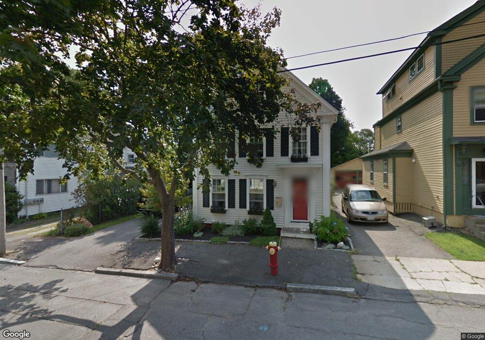
11 Tyng St Newburyport, MA 01950
Estimated Value: $908,000 - $1,354,000
3
Beds
2
Baths
1,794
Sq Ft
$625/Sq Ft
Est. Value
About This Home
This home is located at 11 Tyng St, Newburyport, MA 01950 and is currently estimated at $1,120,821, approximately $624 per square foot. 11 Tyng St is a home located in Essex County with nearby schools including Francis T. Bresnahan Elementary School, Edward G. Molin Elementary School, and Rupert A. Nock Middle School.
Ownership History
Date
Name
Owned For
Owner Type
Purchase Details
Closed on
Apr 2, 1997
Sold by
Est Cuff John and Cuff Ii John F
Bought by
Halley Jeffrey J and Halley Jill E
Current Estimated Value
Create a Home Valuation Report for This Property
The Home Valuation Report is an in-depth analysis detailing your home's value as well as a comparison with similar homes in the area
Home Values in the Area
Average Home Value in this Area
Purchase History
| Date | Buyer | Sale Price | Title Company |
|---|---|---|---|
| Halley Jeffrey J | $165,900 | -- |
Source: Public Records
Mortgage History
| Date | Status | Borrower | Loan Amount |
|---|---|---|---|
| Open | Halley Jeffrey J | $332,000 | |
| Closed | Halley Jeffrey J | $342,000 |
Source: Public Records
Tax History Compared to Growth
Tax History
| Year | Tax Paid | Tax Assessment Tax Assessment Total Assessment is a certain percentage of the fair market value that is determined by local assessors to be the total taxable value of land and additions on the property. | Land | Improvement |
|---|---|---|---|---|
| 2025 | $9,553 | $997,200 | $434,200 | $563,000 |
| 2024 | $8,863 | $889,000 | $394,700 | $494,300 |
| 2023 | $8,237 | $766,900 | $343,200 | $423,700 |
| 2022 | $7,694 | $640,600 | $286,000 | $354,600 |
| 2021 | $7,992 | $632,300 | $260,000 | $372,300 |
| 2020 | $8,119 | $632,300 | $260,000 | $372,300 |
| 2019 | $7,845 | $599,800 | $260,000 | $339,800 |
| 2018 | $7,473 | $563,600 | $247,700 | $315,900 |
| 2017 | $7,422 | $551,800 | $235,900 | $315,900 |
| 2016 | $7,219 | $539,100 | $214,900 | $324,200 |
| 2015 | $6,911 | $518,100 | $214,900 | $303,200 |
Source: Public Records
Map
Nearby Homes
- 26 Oakland St
- 286 Merrimac St Unit B
- 30 Oakland St Unit 2
- 217 Merrimac St Unit 1
- 27 Warren St Unit 1
- 22 Kent St Unit 1
- 15 Howard St
- 182 Merrimac St Unit 1
- 169 Merrimac St Unit 5
- 11 Congress St
- 6 Summit Place
- 158 Merrimac St Unit 3
- 11 Boardman St
- 126 Merrimac St Unit 29
- 126 Merrimac St Unit 50
- 126 Merrimac St Unit 18
- 126 Merrimac St Unit 11
- 129 Merrimac St Unit 20
- 14 Farrell St
- 41 Washington St Unit B