11 Vose Hill Rd Maynard, MA 01754
Estimated Value: $768,000 - $818,000
4
Beds
3
Baths
1,900
Sq Ft
$418/Sq Ft
Est. Value
About This Home
This home is located at 11 Vose Hill Rd, Maynard, MA 01754 and is currently estimated at $793,465, approximately $417 per square foot. 11 Vose Hill Rd is a home located in Middlesex County with nearby schools including Green Meadow School, Fowler School, and Maynard High School.
Ownership History
Date
Name
Owned For
Owner Type
Purchase Details
Closed on
Apr 8, 2019
Sold by
Brooks David L and Brooks Christina M
Bought by
Caramanis Carissa B and Caramanis Lillian D
Current Estimated Value
Home Financials for this Owner
Home Financials are based on the most recent Mortgage that was taken out on this home.
Original Mortgage
$240,000
Outstanding Balance
$209,702
Interest Rate
4%
Mortgage Type
New Conventional
Estimated Equity
$583,763
Purchase Details
Closed on
Aug 4, 1993
Sold by
Evans Albert B and Evans Barbara E
Bought by
Brooks David L and Brooks Christina M
Home Financials for this Owner
Home Financials are based on the most recent Mortgage that was taken out on this home.
Original Mortgage
$168,000
Interest Rate
7.29%
Mortgage Type
Purchase Money Mortgage
Create a Home Valuation Report for This Property
The Home Valuation Report is an in-depth analysis detailing your home's value as well as a comparison with similar homes in the area
Home Values in the Area
Average Home Value in this Area
Purchase History
| Date | Buyer | Sale Price | Title Company |
|---|---|---|---|
| Caramanis Carissa B | $505,000 | -- | |
| Brooks David L | $210,000 | -- |
Source: Public Records
Mortgage History
| Date | Status | Borrower | Loan Amount |
|---|---|---|---|
| Open | Caramanis Carissa B | $240,000 | |
| Previous Owner | Brooks David L | $52,000 | |
| Previous Owner | Brooks David L | $168,000 | |
| Previous Owner | Brooks David L | $120,000 | |
| Closed | Brooks David L | $18,000 |
Source: Public Records
Tax History
| Year | Tax Paid | Tax Assessment Tax Assessment Total Assessment is a certain percentage of the fair market value that is determined by local assessors to be the total taxable value of land and additions on the property. | Land | Improvement |
|---|---|---|---|---|
| 2025 | $11,664 | $654,200 | $276,000 | $378,200 |
| 2024 | $10,959 | $612,900 | $262,900 | $350,000 |
| 2023 | $10,593 | $558,400 | $250,400 | $308,000 |
| 2022 | $9,995 | $487,100 | $210,300 | $276,800 |
| 2021 | $9,585 | $475,700 | $210,300 | $265,400 |
| 2020 | $9,560 | $463,200 | $190,300 | $272,900 |
| 2019 | $9,188 | $436,700 | $181,800 | $254,900 |
| 2018 | $9,375 | $414,100 | $165,300 | $248,800 |
| 2017 | $9,114 | $414,100 | $165,300 | $248,800 |
| 2016 | $8,800 | $414,100 | $165,300 | $248,800 |
| 2015 | $8,351 | $374,300 | $157,700 | $216,600 |
| 2014 | $8,131 | $364,800 | $152,700 | $212,100 |
Source: Public Records
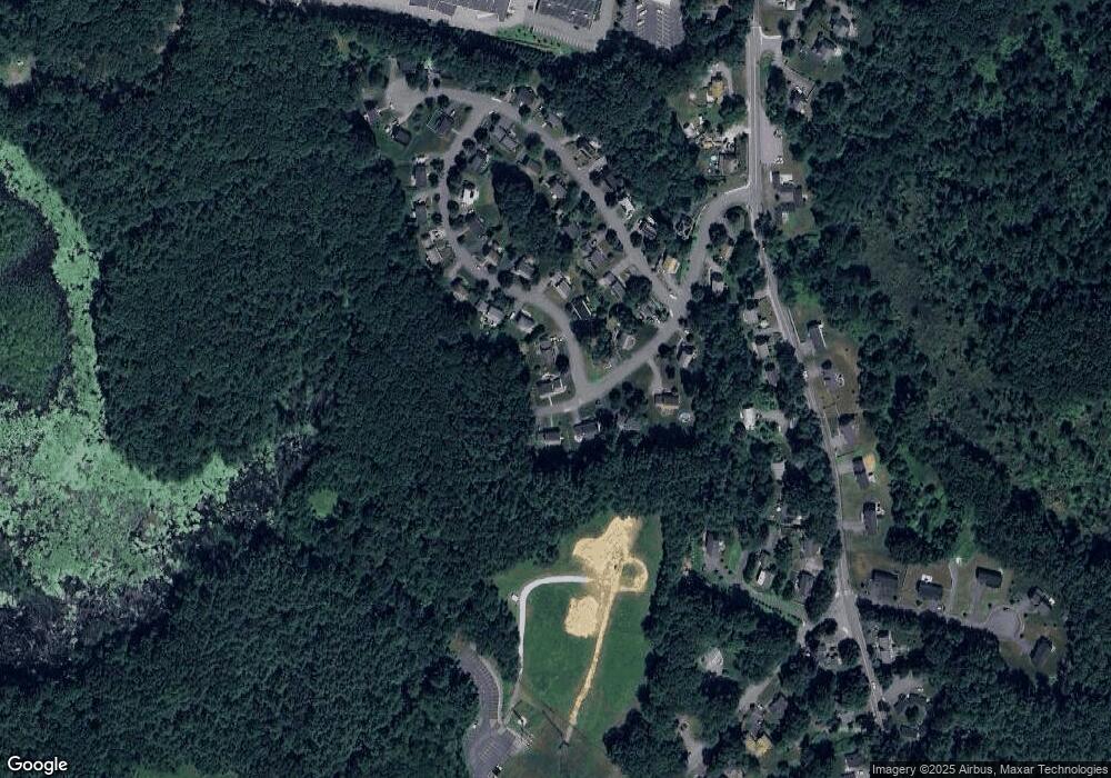
Map
Nearby Homes
- 41 Taylor Rd
- 31-33 Roosevelt St
- 377 Willis Rd
- 57 Longfellow Rd
- 13 Arthur St Unit 15
- 5 Hayes St Unit 5
- 55 Widow Rites Ln
- 45 Widow Rites Ln
- 45 Webster Cir
- 22 Douglas Ave Unit 2
- 22 Douglas Ave Unit 1
- 30 Harness Ln
- 15 Harness Ln
- 10 Mill St Unit B
- 111 Willis Rd
- 11 Great Lake Dr
- 11 October Rd
- 23 Deer Path Unit 5
- 66 Powder Mill Rd
- 68 Powder Mill Rd
Your Personal Tour Guide
Ask me questions while you tour the home.